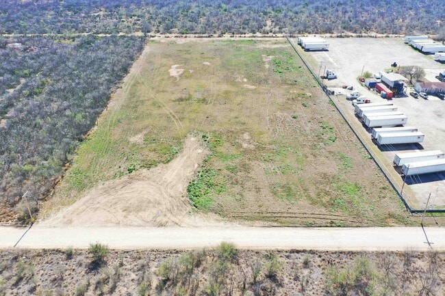
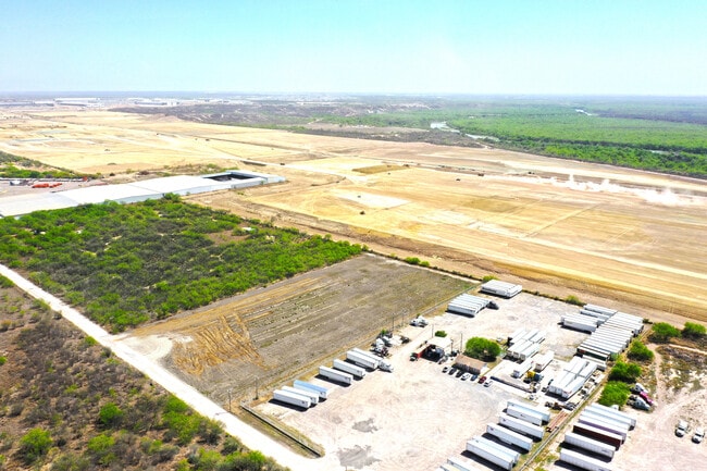
Property Record
Sulfur Mine, Laredo, TX 78045

Property Detail
Sulfur Mine
Laredo, TX
ABST 280 POR 10 T SANCHEZ 4.9127 ACRES TR 8 RANCHITOS IV LOS MINERALES (LESS .0757 ACS ROW)
218245
WEBB
Commercialnec
Texas
B and X Area of moderate flood hazard, usually the area between the limits of the 100-year and 500-year floods.
135
2023
4.91 AC
2025
Texas South Area
001723
Other Market Areas
NEARBY LISTINGS FOR SALE OR LEASE
DEMOGRAPHICS near Sulfur Mine
1 mile
3 mile
5 mile
2025 Total Population
124
480
4,402
2030 Population
125
485
4,538
Pop Growth 2025-2030
+ 0.81%
+ 1.04%
+ 3.09%
Average Age
36
35
30
2025 Total Households
34
131
1,144
HH Growth 2025-2030
0.00%
+ 1.53%
+ 3.23%
Median Household Inc
$90,277
$89,999
$88,593
Avg Household Size
3.10
3.20
3.70
2025 Avg HH Vehicles
2.00
2.00
2.00
Median Home Value
$216,667
$219,737
$230,594
Median Year Built
1990
1990
2007
Nearby Places
Map Layers
Map Styles
 Street
 Aerial
Layers
 Traffic
 Biking
Places
Listings with unknown addresses are not visible on the map
- Restaurants
- Banks
- Shops
- Fitness
- Groceries
PUBLIC TRANSPORTATION
AIRPORT
Laredo International
Drive
Walk
Distance
Laredo International
25 min
18.0 mi
Freight Ports
Port of Corpus Christi
Drive
Walk
Distance
Port of Corpus Christi
181 min
157.0 mi
SALE & LEASE HISTORY
LISTING DATE
SALE/LEASE

Oct 22, 2025
For Sale
Mar 06, 2024
For Sale
Nearby Properties
Address
Land Use
TOTAL SIZE
Lot Size
Zoning
Address
Land Use
TOTAL SIZE
Lot Size
Zoning
292,914 SF
32.60 AC
Address
Land Use
TOTAL SIZE
Lot Size
Zoning
420,000 SF
25.82 AC
Address
Land Use
TOTAL SIZE
Lot Size
Zoning
410,108 SF
33.18 AC
Address
Land Use
TOTAL SIZE
Lot Size
Zoning
48,288 SF
100.18 AC
Address
Land Use
TOTAL SIZE
Lot Size
Zoning
342,583 SF
24.65 AC
Address
Land Use
TOTAL SIZE
Lot Size
Zoning
396,990 SF
24.18 AC
Address
Land Use
TOTAL SIZE
Lot Size
Zoning
379,125 SF
23.83 AC
Address
Land Use
TOTAL SIZE
Lot Size
Zoning
100,710 SF
9.58 AC
Address
Land Use
TOTAL SIZE
Lot Size
Zoning
128,340 SF
7.34 AC
Address
Land Use
TOTAL SIZE
Lot Size
Zoning
97,442 SF
6.45 AC
Address
Land Use
TOTAL SIZE
Lot Size
Zoning
105,164 SF
7.36 AC
Address
Land Use
TOTAL SIZE
Lot Size
Zoning
33.01 AC
Address
Land Use
TOTAL SIZE
Lot Size
Zoning
32.89 AC
Address
Land Use
TOTAL SIZE
Lot Size
Zoning
31.86 AC
Address
Land Use
TOTAL SIZE
Lot Size
Zoning
86,584 SF
6.79 AC
Address
Land Use
TOTAL SIZE
Lot Size
Zoning
27.13 AC
Address
Land Use
TOTAL SIZE
Lot Size
Zoning
26.08 AC
Address
Land Use
TOTAL SIZE
Lot Size
Zoning
25.99 AC
Address
Land Use
TOTAL SIZE
Lot Size
Zoning
25.89 AC
Address
Land Use
TOTAL SIZE
Lot Size
Zoning
60,070 SF
4.66 AC
Address
Land Use
TOTAL SIZE
Lot Size
Zoning
23.81 AC
Address
Land Use
TOTAL SIZE
Lot Size
Zoning
18,827 SF
7.73 AC
Address
Land Use
TOTAL SIZE
Lot Size
Zoning
46,315 SF
5.28 AC
Address
Land Use
TOTAL SIZE
Lot Size
Zoning
23.68 AC
Address
Land Use
TOTAL SIZE
Lot Size
Zoning
Address
Land Use
TOTAL SIZE
Lot Size
Zoning
19.44 AC
Address
Land Use
TOTAL SIZE
Lot Size
Zoning
20.56 AC
Address
Land Use
TOTAL SIZE
Lot Size
Zoning
2,100 SF
16.72 AC
Address
Land Use
TOTAL SIZE
Lot Size
Zoning
78,260 SF
6.39 AC
The World's #1 Commercial Real Estate Marketplace
Connect with us
© 2026 CoStar Group
The information above has been obtained from sources believed reliable. While we do not doubt its accuracy we have not verified it and make no guarantee, warranty or representation about it. It is your responsibility to independently confirm its accuracy and completeness. Any projections, opinions, assumptions, or estimates used are for example only and do not represent the current or future performance of the property. The value of this transaction to you depends on tax and other factors which should be evaluated by your tax, financial, and legal advisors. You and your advisors should conduct a careful, independent investigation of the property to determine to your satisfaction the suitability of the property for your needs.