Property Record
Summit Pkwy, Columbia, SC 29229

NEARBY LISTINGS FOR SALE OR LEASE
-
-
-
-
-
-
-
No Photo
-
View all Columbia listings for sale on LoopNet.com
Property Detail
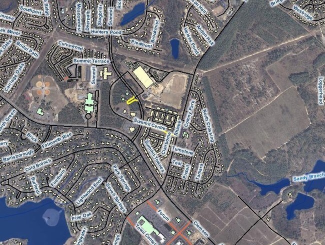
Summit Pkwy
Columbia, SC
Gatewood
23000-03-13
LOT B-1B #PR 56-8993
Commercialnec
Richland
X
South Carolina
45079C0144L
b-1b
2025
0.54 AC
2024
Northeast Columbia
011417
Columbia
DEMOGRAPHICS near Summit Pkwy
1 Mile
3 Mile
5 Mile
2024 Total Population
8,747
60,083
109,333
2029 Population
8,833
60,841
111,353
Pop Growth 2024-2029
+ 0.98%
+ 1.26%
+ 1.85%
Average Age
38
38
38
2024 Total Households
3,300
22,910
41,698
HH Growth 2024-2029
+ 1.33%
+ 1.31%
+ 1.89%
Median Household Inc
$71,781
$72,584
$71,316
Avg Household Size
2.60
2.60
2.60
2024 Avg HH Vehicles
2.00
2.00
2.00
Median Home Value
$194,765
$208,441
$215,381
Median Year Built
2000
2001
2002
Nearby Places
- Restaurants
- Banks
- Shops
- Fitness
- Groceries
PUBLIC TRANSPORTATION
AIRPORT
Columbia Metro
DRIVE
WALK
Distance
Columbia Metro
47 min
27.6 mi
SALE & LEASE HISTORY
LISTING DATE
SALE/LEASE

Sep 24, 2016
For Sale
Nearby Properties
Address
Land Use
TOTAL SIZE
Lot Size
Zoning
Address
Land Use
TOTAL SIZE
Lot Size
Zoning
333,002 SF
8.39 AC
GC
Address
Land Use
TOTAL SIZE
Lot Size
Zoning
244,269 SF
9.54 AC
GC
Address
Land Use
TOTAL SIZE
Lot Size
Zoning
563.44 AC
OI
Address
Land Use
TOTAL SIZE
Lot Size
Zoning
309,478 SF
8.87 AC
PDD
Address
Land Use
TOTAL SIZE
Lot Size
Zoning
329,677 SF
17.12 AC
PDD
Address
Land Use
TOTAL SIZE
Lot Size
Zoning
313,664 SF
33.91 AC
RG-2
Address
Land Use
TOTAL SIZE
Lot Size
Zoning
306,612 SF
20.94 AC
GC
Address
Land Use
TOTAL SIZE
Lot Size
Zoning
232,148 SF
14.16 AC
PDD
Address
Land Use
TOTAL SIZE
Lot Size
Zoning
140,567 SF
16.98 AC
M-1
Address
Land Use
TOTAL SIZE
Lot Size
Zoning
210,926 SF
22 AC
HI
Address
Land Use
TOTAL SIZE
Lot Size
Zoning
147,916 SF
4.69 AC
OI
Address
Land Use
TOTAL SIZE
Lot Size
Zoning
91,672 SF
12.18 AC
GC
Address
Land Use
TOTAL SIZE
Lot Size
Zoning
224,256 SF
25.49 AC
M-1
Address
Land Use
TOTAL SIZE
Lot Size
Zoning
179,808 SF
12.85 AC
RM-HD
Address
Land Use
TOTAL SIZE
Lot Size
Zoning
138,480 SF
23.02 AC
GC
Address
Land Use
TOTAL SIZE
Lot Size
Zoning
66,821 SF
6.32 AC
OI
Address
Land Use
TOTAL SIZE
Lot Size
Zoning
31,625 SF
3.30 AC
GC
Address
Land Use
TOTAL SIZE
Lot Size
Zoning
84,860 SF
5.13 AC
PUD-R
Address
Land Use
TOTAL SIZE
Lot Size
Zoning
73,192 SF
6.12 AC
GC
Address
Land Use
TOTAL SIZE
Lot Size
Zoning
81,951 SF
11.81 AC
M-1
Address
Land Use
TOTAL SIZE
Lot Size
Zoning
161,727 SF
13.25 AC
GC
Address
Land Use
TOTAL SIZE
Lot Size
Zoning
143,072 SF
12.61 AC
PDD
Address
Land Use
TOTAL SIZE
Lot Size
Zoning
93,560 SF
9.39 AC
M-1
Address
Land Use
TOTAL SIZE
Lot Size
Zoning
87,363 SF
10.61 AC
M-1
Address
Land Use
TOTAL SIZE
Lot Size
Zoning
118,547 SF
10.64 AC
GC
Address
Land Use
TOTAL SIZE
Lot Size
Zoning
126,352 SF
10.43 AC
M-1
Address
Land Use
TOTAL SIZE
Lot Size
Zoning
68,091 SF
4.35 AC
OI
Address
Land Use
TOTAL SIZE
Lot Size
Zoning
78,282 SF
8.52 AC
M-1
Address
Land Use
TOTAL SIZE
Lot Size
Zoning
125,894 SF
7.77 AC
PDD
Address
Land Use
TOTAL SIZE
Lot Size
Zoning
14.77 AC
RM-MD
The World's #1 Commercial Real Estate Marketplace
Connect with us
© 2025 CoStar Group
The information above has been obtained from sources believed reliable. While we do not doubt its accuracy we have not verified it and make no guarantee, warranty or representation about it. It is your responsibility to independently confirm its accuracy and completeness. Any projections, opinions, assumptions, or estimates used are for example only and do not represent the current or future performance of the property. The value of this transaction to you depends on tax and other factors which should be evaluated by your tax, financial, and legal advisors. You and your advisors should conduct a careful, independent investigation of the property to determine to your satisfaction the suitability of the property for your needs.