Property Record
Sutton Rd, Warwick, NY 10990

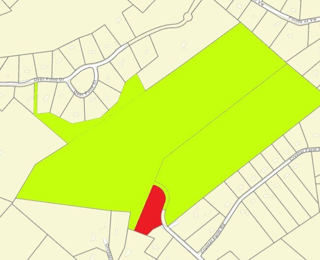
Property Detail
Sutton Rd
Kiryas Joel-Poughkeepsie-Newburgh, NY
LT 4 G VAIL SUB
335489-041-000-0001-037.500-0000
ORANGE
Recreationalacreage
New York
00220
37.50
B and X Area of moderate flood hazard, usually the area between the limits of the 100-year and 500-year floods.
47.10 AC
2024
Monroe
2024
Northern New Jersey
014602
NEARBY LISTINGS FOR SALE OR LEASE
-
-
View all Warwick listings for sale on LoopNet.com
DEMOGRAPHICS near Sutton Rd
1 mile
3 mile
5 mile
2024 Total Population
997
7,654
21,706
2029 Population
1,009
7,744
21,935
Pop Growth 2024-2029
+ 1.20%
+ 1.18%
+ 1.06%
Average Age
43
43
44
2024 Total Households
342
2,851
8,321
HH Growth 2024-2029
+ 1.17%
+ 1.26%
+ 1.13%
Median Household Inc
$198,809
$143,844
$122,767
Avg Household Size
2.80
2.60
2.60
2024 Avg HH Vehicles
3.00
2.00
2.00
Median Home Value
$496,249
$465,317
$381,387
Median Year Built
1974
1975
1976
Nearby Places
Map Layers
Map Styles
 Street
 Aerial
Transit
 Traffic
 Biking
Places
Listings with unknown addresses are not visible on the map
- Restaurants
- Banks
- Shops
- Fitness
- Groceries
PUBLIC TRANSPORTATION
AIRPORT
New York Stewart International
Drive
Walk
Distance
New York Stewart International
54 min
32.1 mi
Freight Ports
Port Newark Container Terminal
Drive
Walk
Distance
Port Newark Container Terminal
85 min
56.9 mi
SALE & LEASE HISTORY
LISTING DATE
SALE/LEASE

Feb 04, 2021
For Sale
Nearby Properties
Address
Land Use
TOTAL SIZE
Lot Size
Zoning
Address
Land Use
TOTAL SIZE
Lot Size
Zoning
272,000 SF
52.10 AC
00215
Address
Land Use
TOTAL SIZE
Lot Size
Zoning
127,993 SF
11.80 AC
00401
Address
Land Use
TOTAL SIZE
Lot Size
Zoning
63,516 SF
12.30 AC
00401
Address
Land Use
TOTAL SIZE
Lot Size
Zoning
104,100 SF
117.60 AC
00215
Address
Land Use
TOTAL SIZE
Lot Size
Zoning
179,474 SF
31.50 AC
00215
Address
Land Use
TOTAL SIZE
Lot Size
Zoning
390 SF
2.10 AC
205
Address
Land Use
TOTAL SIZE
Lot Size
Zoning
96,621 SF
10.20 AC
00450
Address
Land Use
TOTAL SIZE
Lot Size
Zoning
134.80 AC
Address
Land Use
TOTAL SIZE
Lot Size
Zoning
47,951 SF
15.90 AC
00215
Address
Land Use
TOTAL SIZE
Lot Size
Zoning
63,094 SF
22.70 AC
00450
Address
Land Use
TOTAL SIZE
Lot Size
Zoning
67,401 SF
389.20 AC
00230
Address
Land Use
TOTAL SIZE
Lot Size
Zoning
91.08 AC
AET
Address
Land Use
TOTAL SIZE
Lot Size
Zoning
477 SF
0.97 AC
00710
Address
Land Use
TOTAL SIZE
Lot Size
Zoning
7,669 SF
6 AC
Address
Land Use
TOTAL SIZE
Lot Size
Zoning
4,827 SF
3.33 AC
Address
Land Use
TOTAL SIZE
Lot Size
Zoning
5,244 SF
4.91 AC
Address
Land Use
TOTAL SIZE
Lot Size
Zoning
0.30 AC
00215
Address
Land Use
TOTAL SIZE
Lot Size
Zoning
33,394 SF
3.40 AC
00210
Address
Land Use
TOTAL SIZE
Lot Size
Zoning
87,168 SF
5.30 AC
00210
Address
Land Use
TOTAL SIZE
Lot Size
Zoning
84,367 SF
7.60 AC
00210
Address
Land Use
TOTAL SIZE
Lot Size
Zoning
84,858 SF
4.10 AC
00210
Address
Land Use
TOTAL SIZE
Lot Size
Zoning
3,375 SF
1 AC
Address
Land Use
TOTAL SIZE
Lot Size
Zoning
3,172 SF
2.83 AC
R2
Address
Land Use
TOTAL SIZE
Lot Size
Zoning
0.28 AC
00215
Address
Land Use
TOTAL SIZE
Lot Size
Zoning
1,972 SF
2.03 AC
R2
Address
Land Use
TOTAL SIZE
Lot Size
Zoning
81 AC
P
Address
Land Use
TOTAL SIZE
Lot Size
Zoning
67.24 AC
Address
Land Use
TOTAL SIZE
Lot Size
Zoning
20,948 SF
20.40 AC
00450
Address
Land Use
TOTAL SIZE
Lot Size
Zoning
74.48 AC
P
Address
Land Use
TOTAL SIZE
Lot Size
Zoning
2,144 SF
1 AC
AET
The World's #1 Commercial Real Estate Marketplace
Connect with us
© 2026 CoStar Group
The information above has been obtained from sources believed reliable. While we do not doubt its accuracy we have not verified it and make no guarantee, warranty or representation about it. It is your responsibility to independently confirm its accuracy and completeness. Any projections, opinions, assumptions, or estimates used are for example only and do not represent the current or future performance of the property. The value of this transaction to you depends on tax and other factors which should be evaluated by your tax, financial, and legal advisors. You and your advisors should conduct a careful, independent investigation of the property to determine to your satisfaction the suitability of the property for your needs.