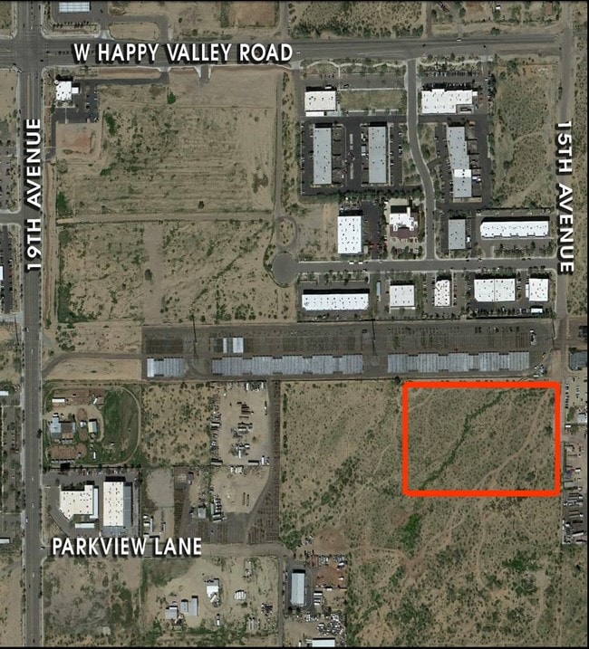
Property Record
26814 N 66Th Ln, Phoenix, AZ 85083


NEARBY LISTINGS FOR SALE OR LEASE
Property Detail
26814 N 66Th Ln
Phoenix-Mesa-Scottsdale, AZ
Eagle Highlands North
201-07-017
Maricopa
Sfr
Arizona
X
0.14 AC
04013C1255L
Deer Valley/Airport
2,456 SF
Phoenix
DEMOGRAPHICS near 26814 N 66Th Ln
1 Mile
3 Mile
5 Mile
2024 Total Population
3,299
41,208
161,709
2029 Population
3,744
45,090
175,209
Pop Growth 2024-2029
+ 13.49%
+ 9.42%
+ 8.35%
Average Age
35
36
38
2024 Total Households
1,459
15,853
63,817
HH Growth 2024-2029
+ 13.91%
+ 9.62%
+ 8.47%
Median Household Inc
$83,096
$85,652
$79,683
Avg Household Size
2.30
2.50
2.50
2024 Avg HH Vehicles
2.00
2.00
2.00
Median Home Value
$584,487
$371,610
$354,009
Median Year Built
2010
1999
1992
Nearby Places
Map Layers
Map Styles
 Street
 Aerial
- Restaurants
- Banks
- Shops
- Fitness
- Groceries
PUBLIC TRANSPORTATION
AIRPORT
Phoenix Sky Harbor International
DRIVE
WALK
Distance
Phoenix Sky Harbor International
46 min
31.5 mi
Freight Ports
Port of San Diego
DRIVE
WALK
Distance
Port of San Diego
408 min
363.9 mi
SALE & LEASE HISTORY
LISTING DATE
SALE/LEASE

Mar 05, 2019
For Sale
Nearby Properties
Address
Land Use
TOTAL SIZE
Lot Size
Zoning
Address
Land Use
TOTAL SIZE
Lot Size
Zoning
239,750 SF
85.34 AC
SR43
Address
Land Use
TOTAL SIZE
Lot Size
Zoning
291,137 SF
38.49 AC
AG
Address
Land Use
TOTAL SIZE
Lot Size
Zoning
89,875 SF
72.52 AC
R-43AG
Address
Land Use
TOTAL SIZE
Lot Size
Zoning
103,384 SF
15.25 AC
PAD
Address
Land Use
TOTAL SIZE
Lot Size
Zoning
127,100 SF
3.57 AC
PAD
Address
Land Use
TOTAL SIZE
Lot Size
Zoning
96,016 SF
4.47 AC
PAD
Address
Land Use
TOTAL SIZE
Lot Size
Zoning
102,816 SF
35.12 AC
AG
Address
Land Use
TOTAL SIZE
Lot Size
Zoning
88,542 SF
14.50 AC
R-10
Address
Land Use
TOTAL SIZE
Lot Size
Zoning
84,341 SF
14.58 AC
R-43
Address
Land Use
TOTAL SIZE
Lot Size
Zoning
128,321 SF
6.69 AC
PAD
Address
Land Use
TOTAL SIZE
Lot Size
Zoning
57,952 SF
5.19 AC
R-35
Address
Land Use
TOTAL SIZE
Lot Size
Zoning
73,841 SF
14.13 AC
R-43AG
Address
Land Use
TOTAL SIZE
Lot Size
Zoning
61,713 SF
5.88 AC
C-C
Address
Land Use
TOTAL SIZE
Lot Size
Zoning
25,950 SF
37.51 AC
S-1
Address
Land Use
TOTAL SIZE
Lot Size
Zoning
21,784 SF
6.70 AC
R-18
Address
Land Use
TOTAL SIZE
Lot Size
Zoning
39,729 SF
5.50 AC
C-C
Address
Land Use
TOTAL SIZE
Lot Size
Zoning
24,200 SF
4.12 AC
C-C
Address
Land Use
TOTAL SIZE
Lot Size
Zoning
36,686 SF
4.62 AC
RR45
Address
Land Use
TOTAL SIZE
Lot Size
Zoning
32,025 SF
3.32 AC
PCD
Address
Land Use
TOTAL SIZE
Lot Size
Zoning
553 SF
407.81 AC
S1
Address
Land Use
TOTAL SIZE
Lot Size
Zoning
26,606 SF
2.86 AC
O1
Address
Land Use
TOTAL SIZE
Lot Size
Zoning
20,355 SF
3.83 AC
PAD
Address
Land Use
TOTAL SIZE
Lot Size
Zoning
6,400 SF
2.31 AC
CC
Address
Land Use
TOTAL SIZE
Lot Size
Zoning
29,569 SF
4.50 AC
R-43
Address
Land Use
TOTAL SIZE
Lot Size
Zoning
18,666 SF
4.50 AC
RR-45
Address
Land Use
TOTAL SIZE
Lot Size
Zoning
15,910 SF
3.40 AC
C-C
Address
Land Use
TOTAL SIZE
Lot Size
Zoning
14,742 SF
1.90 AC
C-C
Address
Land Use
TOTAL SIZE
Lot Size
Zoning
15,552 SF
3.27 AC
RR-45
The World's #1 Commercial Real Estate Marketplace
Connect with us
© 2025 CoStar Group
The information above has been obtained from sources believed reliable. While we do not doubt its accuracy we have not verified it and make no guarantee, warranty or representation about it. It is your responsibility to independently confirm its accuracy and completeness. Any projections, opinions, assumptions, or estimates used are for example only and do not represent the current or future performance of the property. The value of this transaction to you depends on tax and other factors which should be evaluated by your tax, financial, and legal advisors. You and your advisors should conduct a careful, independent investigation of the property to determine to your satisfaction the suitability of the property for your needs.