Property Record
Taylor Rd, Dania, FL 33004
Property Detail
Taylor Rd
Fort Lauderdale-Pompano Beach-Sunrise, FL
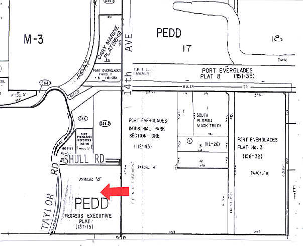
B & S PLAT 132-18 B PARCEL A
50-42-27-10-0010
BROWARD
Vacantlandnec
Florida
AT
a
AE The base floodplain where base flood elevations are provided. AE Zones are now used on new format FIRMs instead of A1-A30 Zones.
6.87 AC
0
Fort Lauderdale
2026
South Florida
080105
NEARBY LISTINGS FOR SALE OR LEASE
DEMOGRAPHICS near Taylor Rd
1 mile
3 mile
5 mile
2025 Total Population
60
67,294
245,537
2030 Population
62
73,156
262,703
Pop Growth 2025-2030
+ 3.33%
+ 8.71%
+ 6.99%
Average Age
39
45
42
2025 Total Households
25
32,294
107,231
HH Growth 2025-2030
+ 4.00%
+ 8.56%
+ 6.90%
Median Household Inc
$91,666
$97,874
$78,862
Avg Household Size
2.10
2.00
2.20
2025 Avg HH Vehicles
2.00
2.00
2.00
Median Home Value
$433,333
$733,706
$596,004
Median Year Built
1950
1976
1973
Nearby Places
Map Layers
Map Styles
 Street
 Aerial
Transit
 Traffic
 Biking
Places
Listings with unknown addresses are not visible on the map
- Restaurants
- Banks
- Shops
- Fitness
- Groceries
PUBLIC TRANSPORTATION
COMMUTER RAIL
Fort Lauderdale Airport Station (Mangonia Park - Miami Airport - Tri-Rail, West Palm Beach - MiamiCentral - Tri-Rail)
Drive
Walk
Distance
Fort Lauderdale Airport Station (Mangonia Park - Miami Airport - Tri-Rail, West Palm Beach - MiamiCentral - Tri-Rail)
5 min
2.4 mi
Sheridan Street (Tri-County Commuter - South Florida Regional Transportation Authority (Tri-Rail))
Drive
Walk
Distance
Sheridan Street (Tri-County Commuter - South Florida Regional Transportation Authority (Tri-Rail))
9 min
4.5 mi
AIRPORT
Fort Lauderdale/Hollywood International
Drive
Walk
Distance
Fort Lauderdale/Hollywood International
7 min
3.3 mi
Miami International
Drive
Walk
Distance
Miami International
45 min
28.4 mi
Freight Ports
Port Everglades
Drive
Walk
Distance
Port Everglades
5 min
2.9 mi
Nearby Properties
Address
Land Use
TOTAL SIZE
Lot Size
Zoning
Address
Land Use
TOTAL SIZE
Lot Size
Zoning
4,536,477 SF
887.02 AC
AT
Address
Land Use
TOTAL SIZE
Lot Size
Zoning
3,629,204 SF
159.43 AC
AT
Address
Land Use
TOTAL SIZE
Lot Size
Zoning
964,376 SF
258.71 AC
AT
Address
Land Use
TOTAL SIZE
Lot Size
Zoning
1,503,015 SF
13.03 AC
CF
Address
Land Use
TOTAL SIZE
Lot Size
Zoning
384,573 SF
4 AC
PEDD
Address
Land Use
TOTAL SIZE
Lot Size
Zoning
387,521 SF
9.83 AC
RMH-60
Address
Land Use
TOTAL SIZE
Lot Size
Zoning
1,838,905 SF
94.56 AC
PEDD
Address
Land Use
TOTAL SIZE
Lot Size
Zoning
615,595 SF
8.50 AC
PMUD
Address
Land Use
TOTAL SIZE
Lot Size
Zoning
656,281 SF
3.81 AC
B-1
Address
Land Use
TOTAL SIZE
Lot Size
Zoning
631,381 SF
3.26 AC
B-1
Address
Land Use
TOTAL SIZE
Lot Size
Zoning
654,212 SF
3.59 AC
Address
Land Use
TOTAL SIZE
Lot Size
Zoning
835,943 SF
42.65 AC
PMUD
Address
Land Use
TOTAL SIZE
Lot Size
Zoning
103,053 SF
175.58 AC
PEDD
Address
Land Use
TOTAL SIZE
Lot Size
Zoning
311,472 SF
136.47 AC
PEDD
Address
Land Use
TOTAL SIZE
Lot Size
Zoning
272,634 SF
32.39 AC
PMUD
Address
Land Use
TOTAL SIZE
Lot Size
Zoning
543,212 SF
3.21 AC
PMUD
Address
Land Use
TOTAL SIZE
Lot Size
Zoning
596,640 SF
3.08 AC
B-2
Address
Land Use
TOTAL SIZE
Lot Size
Zoning
615,846 SF
2.06 AC
CC
Address
Land Use
TOTAL SIZE
Lot Size
Zoning
376,559 SF
14.53 AC
PD
Address
Land Use
TOTAL SIZE
Lot Size
Zoning
434,698 SF
4.10 AC
GTWY-MU
Address
Land Use
TOTAL SIZE
Lot Size
Zoning
241,796 SF
1.64 AC
BRT-25-C
Address
Land Use
TOTAL SIZE
Lot Size
Zoning
218,137 SF
7.13 AC
RM-2
Address
Land Use
TOTAL SIZE
Lot Size
Zoning
296,691 SF
1.86 AC
PMUD
Address
Land Use
TOTAL SIZE
Lot Size
Zoning
429,869 SF
2.43 AC
PMUD-SL
Address
Land Use
TOTAL SIZE
Lot Size
Zoning
161,298 SF
31.25 AC
B-3
Address
Land Use
TOTAL SIZE
Lot Size
Zoning
349,904 SF
4.88 AC
B-1
Address
Land Use
TOTAL SIZE
Lot Size
Zoning
271,598 SF
74.62 AC
PEDD
Address
Land Use
TOTAL SIZE
Lot Size
Zoning
235,568 SF
14.30 AC
IM-3
Address
Land Use
TOTAL SIZE
Lot Size
Zoning
37,854 SF
171.28 AC
GU
Address
Land Use
TOTAL SIZE
Lot Size
Zoning
313,850 SF
0.80 AC
The World's #1 Commercial Real Estate Marketplace
Connect with us
© 2026 CoStar Group
The information above has been obtained from sources believed reliable. While we do not doubt its accuracy we have not verified it and make no guarantee, warranty or representation about it. It is your responsibility to independently confirm its accuracy and completeness. Any projections, opinions, assumptions, or estimates used are for example only and do not represent the current or future performance of the property. The value of this transaction to you depends on tax and other factors which should be evaluated by your tax, financial, and legal advisors. You and your advisors should conduct a careful, independent investigation of the property to determine to your satisfaction the suitability of the property for your needs.