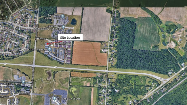
Property Record
Tehan Ct, Springfield, OH 45503


Property Detail
Tehan Ct
Springfield, OH
CABOTS MILL SUBD 3
22-00300-02020-0001
CLARK
Recreationalacreage
Ohio
R-4S
1
B and X Area of moderate flood hazard, usually the area between the limits of the 100-year and 500-year floods.
3.35 AC
2024
Northeast Dayton
2025
Cincinnati/Dayton
002403
NEARBY LISTINGS FOR SALE OR LEASE
-
-
View all Springfield listings for sale on LoopNet.com
DEMOGRAPHICS near Tehan Ct
1 mile
3 mile
5 mile
2025 Total Population
5,585
23,553
60,197
2030 Population
5,516
23,265
60,027
Pop Growth 2025-2030
(1.24%)
(1.22%)
(0.28%)
Average Age
48
45
42
2025 Total Households
2,549
10,687
25,656
HH Growth 2025-2030
(1.10%)
(1.18%)
(0.27%)
Median Household Inc
$70,063
$58,604
$55,720
Avg Household Size
2.10
2.10
2.20
2025 Avg HH Vehicles
2.00
2.00
2.00
Median Home Value
$175,766
$186,966
$167,315
Median Year Built
1976
1974
1961
Nearby Places
Map Layers
Map Styles
 Street
 Aerial
Layers
 Traffic
 Biking
Places
Listings with unknown addresses are not visible on the map
- Restaurants
- Banks
- Shops
- Fitness
- Groceries
PUBLIC TRANSPORTATION
AIRPORT
James M Cox Dayton International
Drive
Walk
Distance
James M Cox Dayton International
40 min
32.0 mi
Freight Ports
Port of Toledo
Drive
Walk
Distance
Port of Toledo
183 min
128.7 mi
SALE & LEASE HISTORY
LISTING DATE
SALE/LEASE

Apr 19, 2018
For Sale
Nearby Properties
Address
Land Use
TOTAL SIZE
Lot Size
Zoning
Address
Land Use
TOTAL SIZE
Lot Size
Zoning
107.87 AC
Address
Land Use
TOTAL SIZE
Lot Size
Zoning
3,360 SF
96.84 AC
Address
Land Use
TOTAL SIZE
Lot Size
Zoning
193,701 SF
16.31 AC
Address
Land Use
TOTAL SIZE
Lot Size
Zoning
61,376 SF
3.95 AC
Address
Land Use
TOTAL SIZE
Lot Size
Zoning
25.44 AC
Address
Land Use
TOTAL SIZE
Lot Size
Zoning
1,582 SF
42.13 AC
Address
Land Use
TOTAL SIZE
Lot Size
Zoning
1,667,526 SF
104.07 AC
I-1
Address
Land Use
TOTAL SIZE
Lot Size
Zoning
48,514 SF
9.72 AC
R-4S
Address
Land Use
TOTAL SIZE
Lot Size
Zoning
62,085 SF
6.05 AC
A-1
Address
Land Use
TOTAL SIZE
Lot Size
Zoning
6,521 SF
94.30 AC
Address
Land Use
TOTAL SIZE
Lot Size
Zoning
79,187 SF
7.70 AC
Address
Land Use
TOTAL SIZE
Lot Size
Zoning
36,172 SF
2.14 AC
Address
Land Use
TOTAL SIZE
Lot Size
Zoning
12.76 AC
Address
Land Use
TOTAL SIZE
Lot Size
Zoning
399,308 SF
31.78 AC
Address
Land Use
TOTAL SIZE
Lot Size
Zoning
28,228 SF
7.47 AC
A-1
Address
Land Use
TOTAL SIZE
Lot Size
Zoning
41,710 SF
5.25 AC
Address
Land Use
TOTAL SIZE
Lot Size
Zoning
20,448 SF
7.35 AC
Address
Land Use
TOTAL SIZE
Lot Size
Zoning
36,858 SF
17.81 AC
Address
Land Use
TOTAL SIZE
Lot Size
Zoning
16,860 SF
18.13 AC
Address
Land Use
TOTAL SIZE
Lot Size
Zoning
6,636 SF
5.53 AC
Address
Land Use
TOTAL SIZE
Lot Size
Zoning
Address
Land Use
TOTAL SIZE
Lot Size
Zoning
137,420 SF
5.45 AC
Address
Land Use
TOTAL SIZE
Lot Size
Zoning
65,174 SF
4.06 AC
Address
Land Use
TOTAL SIZE
Lot Size
Zoning
137,420 SF
5.45 AC
Address
Land Use
TOTAL SIZE
Lot Size
Zoning
191,825 SF
9.23 AC
Address
Land Use
TOTAL SIZE
Lot Size
Zoning
96,300 SF
11.57 AC
Address
Land Use
TOTAL SIZE
Lot Size
Zoning
60,518 SF
5.18 AC
Address
Land Use
TOTAL SIZE
Lot Size
Zoning
25,824 SF
3.32 AC
Address
Land Use
TOTAL SIZE
Lot Size
Zoning
1,912 SF
321.57 AC
Address
Land Use
TOTAL SIZE
Lot Size
Zoning
14,900 SF
5.91 AC
The World's #1 Commercial Real Estate Marketplace
Connect with us
© 2026 CoStar Group
The information above has been obtained from sources believed reliable. While we do not doubt its accuracy we have not verified it and make no guarantee, warranty or representation about it. It is your responsibility to independently confirm its accuracy and completeness. Any projections, opinions, assumptions, or estimates used are for example only and do not represent the current or future performance of the property. The value of this transaction to you depends on tax and other factors which should be evaluated by your tax, financial, and legal advisors. You and your advisors should conduct a careful, independent investigation of the property to determine to your satisfaction the suitability of the property for your needs.