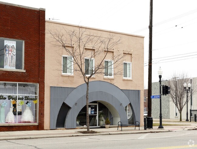
Property Record
Third St, Trenton, MI 48183

NEARBY LISTINGS FOR SALE OR LEASE
Property Detail
Third St
Detroit-Warren-Dearborn, MI
Assrs Trenton
54-014-03-0331-000
18P341 LOT 341 ASSESSORS TRENTON PLAT NO. 3 T4S R11E L66 P49 WCR
Residentialacreage
Wayne
X
Michigan
26163C0418F
341
2025
0.12 AC
2025
Downriver South
594000
Detroit
DEMOGRAPHICS near Third St
1 Mile
3 Mile
5 Mile
2024 Total Population
5,753
40,152
104,634
2029 Population
5,513
38,495
100,361
Pop Growth 2024-2029
(4.17%)
(4.13%)
(4.08%)
Average Age
45
45
43
2024 Total Households
2,718
17,161
44,743
HH Growth 2024-2029
(4.16%)
(4.18%)
(4.12%)
Median Household Inc
$67,396
$82,011
$71,804
Avg Household Size
2.10
2.30
2.30
2024 Avg HH Vehicles
2.00
2.00
2.00
Median Home Value
$202,103
$211,415
$188,830
Median Year Built
1961
1966
1968
Nearby Places
Map Layers
Map Styles
 Street
 Aerial
- Restaurants
- Banks
- Shops
- Fitness
- Groceries
PUBLIC TRANSPORTATION
AIRPORT
Detroit Metro Wayne County
DRIVE
WALK
Distance
Detroit Metro Wayne County
26 min
15.0 mi
Windsor International
DRIVE
WALK
Distance
Windsor International
49 min
26.7 mi
Freight Ports
Port of Toledo
DRIVE
WALK
Distance
Port of Toledo
58 min
43.4 mi
SALE & LEASE HISTORY
LISTING DATE
SALE/LEASE

Aug 29, 2019
For Sale
Nearby Properties
Address
Land Use
TOTAL SIZE
Lot Size
Zoning
Address
Land Use
TOTAL SIZE
Lot Size
Zoning
2,651,867 SF
137.23 AC
I-3
Address
Land Use
TOTAL SIZE
Lot Size
Zoning
2,193,696 SF
182.23 AC
Address
Land Use
TOTAL SIZE
Lot Size
Zoning
155,600 SF
83.84 AC
R1
Address
Land Use
TOTAL SIZE
Lot Size
Zoning
150,224 SF
15.45 AC
RM-1
Address
Land Use
TOTAL SIZE
Lot Size
Zoning
122,430 SF
22.24 AC
Address
Land Use
TOTAL SIZE
Lot Size
Zoning
209,221 SF
21.80 AC
Address
Land Use
TOTAL SIZE
Lot Size
Zoning
211,389 SF
41.38 AC
Address
Land Use
TOTAL SIZE
Lot Size
Zoning
42.98 AC
Address
Land Use
TOTAL SIZE
Lot Size
Zoning
178,682 SF
19.23 AC
Address
Land Use
TOTAL SIZE
Lot Size
Zoning
92,397 SF
12.63 AC
PUD
Address
Land Use
TOTAL SIZE
Lot Size
Zoning
125,828 SF
8.17 AC
B-2 COM
Address
Land Use
TOTAL SIZE
Lot Size
Zoning
2,160 SF
334.88 AC
I1
Address
Land Use
TOTAL SIZE
Lot Size
Zoning
143,496 SF
3.73 AC
RM-2
Address
Land Use
TOTAL SIZE
Lot Size
Zoning
169,192 SF
11.90 AC
R1
Address
Land Use
TOTAL SIZE
Lot Size
Zoning
196,714 SF
20.43 AC
Address
Land Use
TOTAL SIZE
Lot Size
Zoning
2,368 SF
32.58 AC
Address
Land Use
TOTAL SIZE
Lot Size
Zoning
48,760 SF
4.86 AC
Address
Land Use
TOTAL SIZE
Lot Size
Zoning
18,678 SF
3.10 AC
R1-ONE
Address
Land Use
TOTAL SIZE
Lot Size
Zoning
498,367 SF
R1-SING
Address
Land Use
TOTAL SIZE
Lot Size
Zoning
74,362 SF
6.94 AC
RM1-MUL
Address
Land Use
TOTAL SIZE
Lot Size
Zoning
58,149 SF
11.40 AC
B2-COM
Address
Land Use
TOTAL SIZE
Lot Size
Zoning
62,039 SF
Address
Land Use
TOTAL SIZE
Lot Size
Zoning
44,733 SF
10.51 AC
Address
Land Use
TOTAL SIZE
Lot Size
Zoning
54,064 SF
5.05 AC
B-2
Address
Land Use
TOTAL SIZE
Lot Size
Zoning
131,935 SF
6.71 AC
RM1-MUL
Address
Land Use
TOTAL SIZE
Lot Size
Zoning
144,188 SF
8.56 AC
RM1-MUL
Address
Land Use
TOTAL SIZE
Lot Size
Zoning
60 SF
3.83 AC
PCA
Address
Land Use
TOTAL SIZE
Lot Size
Zoning
551,184 SF
RESIDE
Address
Land Use
TOTAL SIZE
Lot Size
Zoning
114,610 SF
7.65 AC
Address
Land Use
TOTAL SIZE
Lot Size
Zoning
124,602 SF
10.20 AC
The World's #1 Commercial Real Estate Marketplace
Connect with us
© 2026 CoStar Group
The information above has been obtained from sources believed reliable. While we do not doubt its accuracy we have not verified it and make no guarantee, warranty or representation about it. It is your responsibility to independently confirm its accuracy and completeness. Any projections, opinions, assumptions, or estimates used are for example only and do not represent the current or future performance of the property. The value of this transaction to you depends on tax and other factors which should be evaluated by your tax, financial, and legal advisors. You and your advisors should conduct a careful, independent investigation of the property to determine to your satisfaction the suitability of the property for your needs.