Property Record
Thornberry Rd, Del Valle, TX 78617


Property Detail
Thornberry Rd
Austin-Round Rock-San Marcos, TX
ABS 24 DELVALLE S ACR 32.9341
292196
TRAVIS
Farms
Texas
AE The base floodplain where base flood elevations are provided. AE Zones are now used on new format FIRMs instead of A1-A30 Zones.
32.93 AC
2025
Southeast
2025
Austin
002453
NEARBY LISTINGS FOR SALE OR LEASE
DEMOGRAPHICS near Thornberry Rd
1 mile
3 mile
5 mile
2025 Total Population
2,121
29,534
155,090
2030 Population
2,240
31,816
165,018
Pop Growth 2025-2030
+ 5.61%
+ 7.73%
+ 6.40%
Average Age
34
35
35
2025 Total Households
601
10,515
63,299
HH Growth 2025-2030
+ 6.16%
+ 8.71%
+ 7.04%
Median Household Inc
$47,954
$82,883
$82,250
Avg Household Size
3.10
2.70
2.30
2025 Avg HH Vehicles
2.00
2.00
2.00
Median Home Value
$83,439
$388,728
$455,917
Median Year Built
1992
2009
2004
Nearby Places
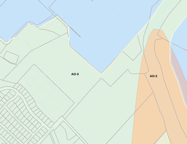
Map Layers
Map Styles
 Street
 Aerial
Layers
 Traffic
 Biking
Places
Listings with unknown addresses are not visible on the map
- Restaurants
- Banks
- Shops
- Fitness
- Groceries
PUBLIC TRANSPORTATION
COMMUTER RAIL
Austin (Texas Eagle - Amtrak)
Drive
Walk
Distance
Austin (Texas Eagle - Amtrak)
15 min
7.8 mi
AIRPORT
Austin-Bergstrom International
Drive
Walk
Distance
Austin-Bergstrom International
17 min
7.7 mi
Freight Ports
Calhoun Port
Drive
Walk
Distance
Calhoun Port
183 min
151.2 mi
SALE & LEASE HISTORY
LISTING DATE
SALE/LEASE

Feb 29, 2024
For Sale
Nearby Properties
Address
Land Use
TOTAL SIZE
Lot Size
Zoning
Address
Land Use
TOTAL SIZE
Lot Size
Zoning
9,768 SF
386.80 AC
Address
Land Use
TOTAL SIZE
Lot Size
Zoning
307,610 SF
8.95 AC
Address
Land Use
TOTAL SIZE
Lot Size
Zoning
91,639 SF
35.97 AC
Address
Land Use
TOTAL SIZE
Lot Size
Zoning
558,324 SF
45.12 AC
Address
Land Use
TOTAL SIZE
Lot Size
Zoning
255,483 SF
35 AC
Address
Land Use
TOTAL SIZE
Lot Size
Zoning
301,125 SF
5.23 AC
Address
Land Use
TOTAL SIZE
Lot Size
Zoning
354,664 SF
16.80 AC
Address
Land Use
TOTAL SIZE
Lot Size
Zoning
84,920 SF
74.13 AC
Address
Land Use
TOTAL SIZE
Lot Size
Zoning
215,109 SF
4.09 AC
Address
Land Use
TOTAL SIZE
Lot Size
Zoning
193,788 SF
107.16 AC
Address
Land Use
TOTAL SIZE
Lot Size
Zoning
270,688 SF
8.37 AC
Address
Land Use
TOTAL SIZE
Lot Size
Zoning
206,608 SF
10.61 AC
Address
Land Use
TOTAL SIZE
Lot Size
Zoning
278,730 SF
19.78 AC
Address
Land Use
TOTAL SIZE
Lot Size
Zoning
451,140 SF
26.32 AC
Address
Land Use
TOTAL SIZE
Lot Size
Zoning
256,256 SF
9.79 AC
Address
Land Use
TOTAL SIZE
Lot Size
Zoning
231,473 SF
6.87 AC
Address
Land Use
TOTAL SIZE
Lot Size
Zoning
262,576 SF
15.68 AC
Address
Land Use
TOTAL SIZE
Lot Size
Zoning
231,634 SF
2.78 AC
Address
Land Use
TOTAL SIZE
Lot Size
Zoning
179,800 SF
442.94 AC
Address
Land Use
TOTAL SIZE
Lot Size
Zoning
237,900 SF
9.22 AC
Address
Land Use
TOTAL SIZE
Lot Size
Zoning
162,000 SF
12.62 AC
Address
Land Use
TOTAL SIZE
Lot Size
Zoning
368,244 SF
93.34 AC
Address
Land Use
TOTAL SIZE
Lot Size
Zoning
353,770 SF
23.97 AC
Address
Land Use
TOTAL SIZE
Lot Size
Zoning
183,150 SF
2.54 AC
Address
Land Use
TOTAL SIZE
Lot Size
Zoning
345,600 SF
49.73 AC
Address
Land Use
TOTAL SIZE
Lot Size
Zoning
480 SF
27.36 AC
Address
Land Use
TOTAL SIZE
Lot Size
Zoning
214,303 SF
11.32 AC
Address
Land Use
TOTAL SIZE
Lot Size
Zoning
135,004 SF
19.84 AC
Address
Land Use
TOTAL SIZE
Lot Size
Zoning
257,600 SF
26.83 AC
Address
Land Use
TOTAL SIZE
Lot Size
Zoning
221,646 SF
6.71 AC
The World's #1 Commercial Real Estate Marketplace
Connect with us
© 2026 CoStar Group
The information above has been obtained from sources believed reliable. While we do not doubt its accuracy we have not verified it and make no guarantee, warranty or representation about it. It is your responsibility to independently confirm its accuracy and completeness. Any projections, opinions, assumptions, or estimates used are for example only and do not represent the current or future performance of the property. The value of this transaction to you depends on tax and other factors which should be evaluated by your tax, financial, and legal advisors. You and your advisors should conduct a careful, independent investigation of the property to determine to your satisfaction the suitability of the property for your needs.