Property Record
Unassigned, Rosemount, MN 55068

Property Detail
Unassigned
Minneapolis-St. Paul-Bloomington, MN-WI
SECTION 26 TWN 115 RANGE 19 26 115 19 E 1/2 OF NW 1/4 EX BEG SE COR N 350 FT W 500 FT S TO S LINE E ON S LINE TO BEG
34-02600-25-011
DAKOTA
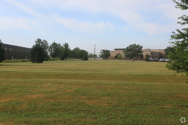
Agriculturalland
Minnesota
B and X Area of moderate flood hazard, usually the area between the limits of the 100-year and 500-year floods.
11
2024
75.70 AC
2024
Dakota County Outlying
061009
Minneapolis/St Paul
NEARBY LISTINGS FOR SALE OR LEASE
DEMOGRAPHICS near Unassigned
1 mile
3 mile
5 mile
2025 Total Population
4,406
17,721
51,874
2030 Population
4,800
18,811
53,761
Pop Growth 2025-2030
+ 8.94%
+ 6.15%
+ 3.64%
Average Age
35
37
39
2025 Total Households
1,366
6,017
18,200
HH Growth 2025-2030
+ 9.22%
+ 6.17%
+ 3.65%
Median Household Inc
$176,201
$135,917
$130,434
Avg Household Size
3.20
2.90
2.80
2025 Avg HH Vehicles
2.00
2.00
2.00
Median Home Value
$553,218
$466,361
$445,174
Median Year Built
2010
2006
1995
Nearby Places
Map Layers
Map Styles
 Street
 Aerial
Transit
 Traffic
 Biking
Places
Listings with unknown addresses are not visible on the map
- Restaurants
- Banks
- Shops
- Fitness
- Groceries
PUBLIC TRANSPORTATION
AIRPORT
Minneapolis-St Paul International/Wold-Chamberlain
Drive
Walk
Distance
Minneapolis-St Paul International/Wold-Chamberlain
27 min
19.3 mi
Freight Ports
Port Milwaukee
Drive
Walk
Distance
Port Milwaukee
377 min
341.7 mi
Nearby Properties
Address
Land Use
TOTAL SIZE
Lot Size
Zoning
Address
Land Use
TOTAL SIZE
Lot Size
Zoning
595.66 AC
Address
Land Use
TOTAL SIZE
Lot Size
Zoning
569,250 SF
97.05 AC
Address
Land Use
TOTAL SIZE
Lot Size
Zoning
6,566 SF
48.32 AC
Address
Land Use
TOTAL SIZE
Lot Size
Zoning
181,250 SF
2.68 AC
Address
Land Use
TOTAL SIZE
Lot Size
Zoning
183,197 SF
2.20 AC
Address
Land Use
TOTAL SIZE
Lot Size
Zoning
210,772 SF
15.28 AC
Address
Land Use
TOTAL SIZE
Lot Size
Zoning
267,085 SF
84.38 AC
Address
Land Use
TOTAL SIZE
Lot Size
Zoning
600 SF
348.83 AC
Address
Land Use
TOTAL SIZE
Lot Size
Zoning
136,416 SF
1.99 AC
Address
Land Use
TOTAL SIZE
Lot Size
Zoning
275,535 SF
7.52 AC
Address
Land Use
TOTAL SIZE
Lot Size
Zoning
114,778 SF
27.86 AC
Address
Land Use
TOTAL SIZE
Lot Size
Zoning
58,566 SF
29.59 AC
Address
Land Use
TOTAL SIZE
Lot Size
Zoning
129,102 SF
10.16 AC
Address
Land Use
TOTAL SIZE
Lot Size
Zoning
73,200 SF
8.08 AC
Address
Land Use
TOTAL SIZE
Lot Size
Zoning
200,768 SF
4.49 AC
Address
Land Use
TOTAL SIZE
Lot Size
Zoning
100,904 SF
9.88 AC
Address
Land Use
TOTAL SIZE
Lot Size
Zoning
77,284 SF
15.64 AC
Address
Land Use
TOTAL SIZE
Lot Size
Zoning
434.99 AC
Address
Land Use
TOTAL SIZE
Lot Size
Zoning
90,050 SF
28.65 AC
Address
Land Use
TOTAL SIZE
Lot Size
Zoning
172,581 SF
10.49 AC
Address
Land Use
TOTAL SIZE
Lot Size
Zoning
54,798 SF
8.09 AC
Address
Land Use
TOTAL SIZE
Lot Size
Zoning
52,092 SF
10.01 AC
Address
Land Use
TOTAL SIZE
Lot Size
Zoning
4,400 SF
33.14 AC
Address
Land Use
TOTAL SIZE
Lot Size
Zoning
470.06 AC
Address
Land Use
TOTAL SIZE
Lot Size
Zoning
0.35 AC
Address
Land Use
TOTAL SIZE
Lot Size
Zoning
0.35 AC
Address
Land Use
TOTAL SIZE
Lot Size
Zoning
159,414 SF
25.25 AC
The World's #1 Commercial Real Estate Marketplace
Connect with us
© 2026 CoStar Group
The information above has been obtained from sources believed reliable. While we do not doubt its accuracy we have not verified it and make no guarantee, warranty or representation about it. It is your responsibility to independently confirm its accuracy and completeness. Any projections, opinions, assumptions, or estimates used are for example only and do not represent the current or future performance of the property. The value of this transaction to you depends on tax and other factors which should be evaluated by your tax, financial, and legal advisors. You and your advisors should conduct a careful, independent investigation of the property to determine to your satisfaction the suitability of the property for your needs.