Property Record
Us-75 Highway, Netawaka, KS 66516


NEARBY LISTINGS FOR SALE OR LEASE
-
-
View all Netawaka listings for sale on LoopNet.com
Property Detail
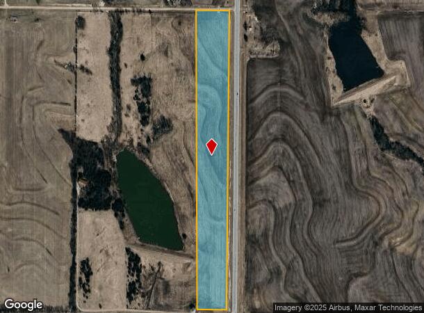
Us-75 Highway
Topeka, KS
S03, T05, R15E, ACRES 16.3, LOT 2 SW/4 LESS RD ROW
022-03-0-00-00-006.00-0
Jackson
Agriculturalland
Kansas
X
2
20085C0050E
16.30 AC
2024
Topeka
2025
Kansas City
082600
DEMOGRAPHICS near Us-75 Highway
1 Mile
3 Mile
5 Mile
2024 Total Population
13
274
1,044
2029 Population
13
277
1,037
Pop Growth 2024-2029
0.00%
+ 1.09%
(0.67%)
Average Age
40
42
40
2024 Total Households
5
96
378
HH Growth 2024-2029
0.00%
+ 1.04%
(0.79%)
Median Household Inc
$99,999
$88,157
$75,216
Avg Household Size
2.40
2.70
2.70
2024 Avg HH Vehicles
3.00
3.00
3.00
Median Home Value
$99,999
$131,818
$139,473
Median Year Built
1949
1956
1958
Nearby Places
Map Layers
Map Styles
 Street
 Aerial
- Restaurants
- Banks
- Shops
- Fitness
- Groceries
SALE & LEASE HISTORY
LISTING DATE
SALE/LEASE

Oct 02, 2019
For Sale
Nearby Properties
Address
Land Use
TOTAL SIZE
Lot Size
Zoning
Address
Land Use
TOTAL SIZE
Lot Size
Zoning
39,236 SF
1.52 AC
Address
Land Use
TOTAL SIZE
Lot Size
Zoning
233.70 AC
Address
Land Use
TOTAL SIZE
Lot Size
Zoning
156.80 AC
Address
Land Use
TOTAL SIZE
Lot Size
Zoning
145.80 AC
Address
Land Use
TOTAL SIZE
Lot Size
Zoning
78.90 AC
Address
Land Use
TOTAL SIZE
Lot Size
Zoning
77.70 AC
Address
Land Use
TOTAL SIZE
Lot Size
Zoning
77.10 AC
Address
Land Use
TOTAL SIZE
Lot Size
Zoning
1,200 SF
76.20 AC
Address
Land Use
TOTAL SIZE
Lot Size
Zoning
3,400 SF
1.52 AC
Address
Land Use
TOTAL SIZE
Lot Size
Zoning
5,028 SF
0.38 AC
Address
Land Use
TOTAL SIZE
Lot Size
Zoning
1,868 SF
0.13 AC
Address
Land Use
TOTAL SIZE
Lot Size
Zoning
2,800 SF
0.30 AC
Address
Land Use
TOTAL SIZE
Lot Size
Zoning
13,862 SF
79 AC
Address
Land Use
TOTAL SIZE
Lot Size
Zoning
621.20 AC
Address
Land Use
TOTAL SIZE
Lot Size
Zoning
472.47 AC
Address
Land Use
TOTAL SIZE
Lot Size
Zoning
200.50 AC
Address
Land Use
TOTAL SIZE
Lot Size
Zoning
471.94 AC
Address
Land Use
TOTAL SIZE
Lot Size
Zoning
1.51 AC
Address
Land Use
TOTAL SIZE
Lot Size
Zoning
139.90 AC
Address
Land Use
TOTAL SIZE
Lot Size
Zoning
775 SF
0.53 AC
Address
Land Use
TOTAL SIZE
Lot Size
Zoning
11.44 AC
Address
Land Use
TOTAL SIZE
Lot Size
Zoning
3.20 AC
Address
Land Use
TOTAL SIZE
Lot Size
Zoning
77.80 AC
Address
Land Use
TOTAL SIZE
Lot Size
Zoning
800 SF
12.84 AC
Address
Land Use
TOTAL SIZE
Lot Size
Zoning
218.20 AC
Address
Land Use
TOTAL SIZE
Lot Size
Zoning
116.30 AC
Address
Land Use
TOTAL SIZE
Lot Size
Zoning
Address
Land Use
TOTAL SIZE
Lot Size
Zoning
76.50 AC
Address
Land Use
TOTAL SIZE
Lot Size
Zoning
198 AC
Address
Land Use
TOTAL SIZE
Lot Size
Zoning
156.60 AC
The World's #1 Commercial Real Estate Marketplace
Connect with us
© 2026 CoStar Group
The information above has been obtained from sources believed reliable. While we do not doubt its accuracy we have not verified it and make no guarantee, warranty or representation about it. It is your responsibility to independently confirm its accuracy and completeness. Any projections, opinions, assumptions, or estimates used are for example only and do not represent the current or future performance of the property. The value of this transaction to you depends on tax and other factors which should be evaluated by your tax, financial, and legal advisors. You and your advisors should conduct a careful, independent investigation of the property to determine to your satisfaction the suitability of the property for your needs.