Property Record
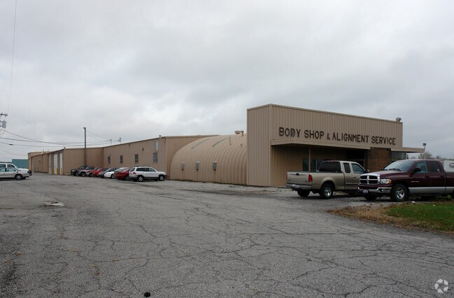
Us Highway 20, Monroeville, OH 44847

Property Detail
Us Highway 20
42-045B-A1-022-0100
HURON
Publicstorage
Ohio
B and X Area of moderate flood hazard, usually the area between the limits of the 100-year and 500-year floods.
3.01 AC
2025
Huron County
2025
Cleveland
915900
Norwalk, OH
6,000 SF
NEARBY LISTINGS FOR SALE OR LEASE
-
-
View all Monroeville listings for sale on LoopNet.com
DEMOGRAPHICS near Us Highway 20
1 mile
3 mile
5 mile
2025 Total Population
1,267
2,003
14,639
2030 Population
1,239
1,958
14,470
Pop Growth 2025-2030
(2.21%)
(2.25%)
(1.15%)
Average Age
41
41
41
2025 Total Households
507
802
5,935
HH Growth 2025-2030
(2.17%)
(2.24%)
(1.20%)
Median Household Inc
$71,249
$71,999
$60,227
Avg Household Size
2.50
2.50
2.40
2025 Avg HH Vehicles
2.00
2.00
2.00
Median Home Value
$160,755
$166,349
$176,514
Median Year Built
1948
1948
1964
Nearby Places
Map Layers
Map Styles
 Street
 Aerial
Layers
 Traffic
 Biking
Places
Listings with unknown addresses are not visible on the map
- Restaurants
- Banks
- Shops
- Fitness
- Groceries
Nearby Properties
Address
Land Use
TOTAL SIZE
Lot Size
Zoning
Address
Land Use
TOTAL SIZE
Lot Size
Zoning
28,380 SF
1.46 AC
Address
Land Use
TOTAL SIZE
Lot Size
Zoning
3,994 SF
2.54 AC
Address
Land Use
TOTAL SIZE
Lot Size
Zoning
414.96 AC
Address
Land Use
TOTAL SIZE
Lot Size
Zoning
226.95 AC
Address
Land Use
TOTAL SIZE
Lot Size
Zoning
5,865 SF
5.30 AC
Address
Land Use
TOTAL SIZE
Lot Size
Zoning
35,997 SF
8.28 AC
Address
Land Use
TOTAL SIZE
Lot Size
Zoning
9.32 AC
Address
Land Use
TOTAL SIZE
Lot Size
Zoning
Address
Land Use
TOTAL SIZE
Lot Size
Zoning
48.73 AC
Address
Land Use
TOTAL SIZE
Lot Size
Zoning
126.59 AC
Address
Land Use
TOTAL SIZE
Lot Size
Zoning
130.25 AC
Address
Land Use
TOTAL SIZE
Lot Size
Zoning
4,645 SF
1.96 AC
Address
Land Use
TOTAL SIZE
Lot Size
Zoning
1,520 SF
1.26 AC
Address
Land Use
TOTAL SIZE
Lot Size
Zoning
127.42 AC
Address
Land Use
TOTAL SIZE
Lot Size
Zoning
2,218 SF
105 AC
Address
Land Use
TOTAL SIZE
Lot Size
Zoning
1,808 SF
88 AC
Address
Land Use
TOTAL SIZE
Lot Size
Zoning
112.27 AC
Address
Land Use
TOTAL SIZE
Lot Size
Zoning
1,902 SF
137 AC
Address
Land Use
TOTAL SIZE
Lot Size
Zoning
2,946 SF
86.48 AC
Address
Land Use
TOTAL SIZE
Lot Size
Zoning
3,032 SF
90.96 AC
Address
Land Use
TOTAL SIZE
Lot Size
Zoning
107.13 AC
Address
Land Use
TOTAL SIZE
Lot Size
Zoning
138.94 AC
Address
Land Use
TOTAL SIZE
Lot Size
Zoning
1,280 SF
10 AC
Address
Land Use
TOTAL SIZE
Lot Size
Zoning
1,868 SF
90 AC
Address
Land Use
TOTAL SIZE
Lot Size
Zoning
36.78 AC
Address
Land Use
TOTAL SIZE
Lot Size
Zoning
15,688 SF
6.24 AC
Address
Land Use
TOTAL SIZE
Lot Size
Zoning
1,260 SF
97.77 AC
Address
Land Use
TOTAL SIZE
Lot Size
Zoning
134.07 AC
Address
Land Use
TOTAL SIZE
Lot Size
Zoning
1,560 SF
116.67 AC
Address
Land Use
TOTAL SIZE
Lot Size
Zoning
2,113 SF
109.62 AC
The World's #1 Commercial Real Estate Marketplace
Connect with us
© 2026 CoStar Group
The information above has been obtained from sources believed reliable. While we do not doubt its accuracy we have not verified it and make no guarantee, warranty or representation about it. It is your responsibility to independently confirm its accuracy and completeness. Any projections, opinions, assumptions, or estimates used are for example only and do not represent the current or future performance of the property. The value of this transaction to you depends on tax and other factors which should be evaluated by your tax, financial, and legal advisors. You and your advisors should conduct a careful, independent investigation of the property to determine to your satisfaction the suitability of the property for your needs.