Property Record
Us Highway 280 E, Smiths Station, AL 36877


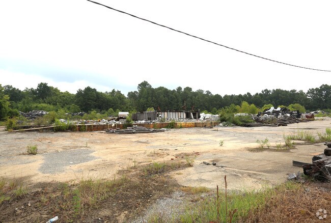
Property Detail
Us Highway 280 E
Auburn-Opelika, AL
PARCEL B-1 BOUNDARY SURVEY & REPLAT OF PARCEL B FROM A SURVEY FOR SUNGAS SERVICE CO INC PLAT 28-53 SEC 31 T18N R30E
14-09-31-0-001-066.000
LEE
Vacantlandnec
Alabama
B and X Area of moderate flood hazard, usually the area between the limits of the 100-year and 500-year floods.
9 AC
2025
Lee County
2025
Columbus GA
042004
NEARBY LISTINGS FOR SALE OR LEASE
DEMOGRAPHICS near Us Highway 280 E
1 mile
3 mile
5 mile
2025 Total Population
3,431
32,672
77,202
2030 Population
3,639
33,866
78,822
Pop Growth 2025-2030
+ 6.06%
+ 3.65%
+ 2.10%
Average Age
40
39
39
2025 Total Households
1,346
12,932
31,495
HH Growth 2025-2030
+ 6.32%
+ 3.60%
+ 2.13%
Median Household Inc
$58,705
$68,148
$56,847
Avg Household Size
2.50
2.50
2.40
2025 Avg HH Vehicles
2.00
2.00
2.00
Median Home Value
$202,789
$226,772
$200,959
Median Year Built
1997
1995
1989
Nearby Places
Map Layers
Map Styles
 Street
 Aerial
Layers
 Traffic
 Biking
Places
Listings with unknown addresses are not visible on the map
- Restaurants
- Banks
- Shops
- Fitness
- Groceries
PUBLIC TRANSPORTATION
AIRPORT
Columbus
Drive
Walk
Distance
Columbus
17 min
9.9 mi
Freight Ports
Port of Panama City
Drive
Walk
Distance
Port of Panama City
236 min
186.7 mi
SALE & LEASE HISTORY
LISTING DATE
SALE/LEASE

Aug 01, 2018
For Lease
Aug 01, 2018
For Sale
Nearby Properties
Address
Land Use
TOTAL SIZE
Lot Size
Zoning
Address
Land Use
TOTAL SIZE
Lot Size
Zoning
Address
Land Use
TOTAL SIZE
Lot Size
Zoning
24.20 AC
Address
Land Use
TOTAL SIZE
Lot Size
Zoning
21,584 SF
28.11 AC
Address
Land Use
TOTAL SIZE
Lot Size
Zoning
23,488 SF
26 AC
Address
Land Use
TOTAL SIZE
Lot Size
Zoning
17,000 SF
6 AC
O
Address
Land Use
TOTAL SIZE
Lot Size
Zoning
24,094 SF
8 AC
O
Address
Land Use
TOTAL SIZE
Lot Size
Zoning
11,124 SF
5 AC
Address
Land Use
TOTAL SIZE
Lot Size
Zoning
58,094 SF
8.27 AC
Address
Land Use
TOTAL SIZE
Lot Size
Zoning
30,120 SF
7 AC
Address
Land Use
TOTAL SIZE
Lot Size
Zoning
43,056 SF
4 AC
O
Address
Land Use
TOTAL SIZE
Lot Size
Zoning
9,506 SF
15 AC
O
Address
Land Use
TOTAL SIZE
Lot Size
Zoning
10,160 SF
16.26 AC
O
Address
Land Use
TOTAL SIZE
Lot Size
Zoning
57,826 SF
7 AC
O
Address
Land Use
TOTAL SIZE
Lot Size
Zoning
3,420 SF
16 AC
O
Address
Land Use
TOTAL SIZE
Lot Size
Zoning
11,768 SF
16.80 AC
Address
Land Use
TOTAL SIZE
Lot Size
Zoning
3,150 SF
2.39 AC
O
Address
Land Use
TOTAL SIZE
Lot Size
Zoning
10,672 SF
5.55 AC
Address
Land Use
TOTAL SIZE
Lot Size
Zoning
9,000 SF
2.40 AC
Address
Land Use
TOTAL SIZE
Lot Size
Zoning
2,816 SF
6 AC
O
Address
Land Use
TOTAL SIZE
Lot Size
Zoning
104,950 SF
6 AC
C
Address
Land Use
TOTAL SIZE
Lot Size
Zoning
9,000 SF
10 AC
O
Address
Land Use
TOTAL SIZE
Lot Size
Zoning
81,850 SF
7 AC
O
Address
Land Use
TOTAL SIZE
Lot Size
Zoning
73,270 SF
4.41 AC
O
Address
Land Use
TOTAL SIZE
Lot Size
Zoning
41,937 SF
14 AC
Address
Land Use
TOTAL SIZE
Lot Size
Zoning
1,800 SF
13 AC
O
Address
Land Use
TOTAL SIZE
Lot Size
Zoning
Address
Land Use
TOTAL SIZE
Lot Size
Zoning
50,000 SF
5 AC
O
Address
Land Use
TOTAL SIZE
Lot Size
Zoning
122,139 SF
10 AC
The World's #1 Commercial Real Estate Marketplace
Connect with us
© 2026 CoStar Group
The information above has been obtained from sources believed reliable. While we do not doubt its accuracy we have not verified it and make no guarantee, warranty or representation about it. It is your responsibility to independently confirm its accuracy and completeness. Any projections, opinions, assumptions, or estimates used are for example only and do not represent the current or future performance of the property. The value of this transaction to you depends on tax and other factors which should be evaluated by your tax, financial, and legal advisors. You and your advisors should conduct a careful, independent investigation of the property to determine to your satisfaction the suitability of the property for your needs.