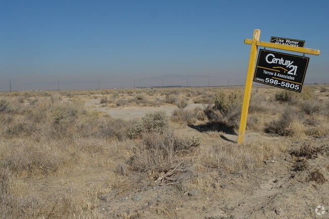
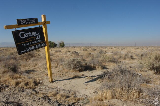
Property Record
Vac Sierra Highway Vic Ave, Lancaster, CA 93536
NEARBY LISTINGS FOR SALE OR LEASE
Property Detail
Vac Sierra Highway Vic Ave
3118-001-007
POR OF S 1/2 OF NW 1/4 OF SEC 34 T8N R12W
Desertorbarrenland
Los Angeles
AO
California
06037C0410F
17.50 AC
2024
Antelope Valley
2025
Los Angeles
901214
Los Angeles-Long Beach-Glendale, CA
DEMOGRAPHICS near Vac Sierra Highway Vic Ave
1 Mile
3 Mile
5 Mile
2024 Total Population
198
23,298
102,998
2029 Population
200
22,532
100,027
Pop Growth 2024-2029
+ 1.01%
(3.29%)
(2.88%)
Average Age
40
36
36
2024 Total Households
66
7,454
32,267
HH Growth 2024-2029
0.00%
(3.43%)
(3.09%)
Median Household Inc
$56,249
$44,712
$51,997
Avg Household Size
2.90
3.00
3.10
2024 Avg HH Vehicles
3.00
2.00
2.00
Median Home Value
$342,857
$232,309
$260,801
Median Year Built
1981
1977
1982
Nearby Places
Map Layers
Map Styles
 Street
 Aerial
- Restaurants
- Banks
- Shops
- Fitness
- Groceries
PUBLIC TRANSPORTATION
COMMUTER RAIL
Lancaster (Antelope Valley Line - Southern California Regional Rail Authority (Metrolink))
DRIVE
WALK
Distance
Lancaster (Antelope Valley Line - Southern California Regional Rail Authority (Metrolink))
5 min
3.2 mi
Freight Ports
Port of Long Beach
DRIVE
WALK
Distance
Port of Long Beach
115 min
98.4 mi
Nearby Properties
Address
Land Use
TOTAL SIZE
Lot Size
Zoning
Address
Land Use
TOTAL SIZE
Lot Size
Zoning
2,922,905 SF
85.01 AC
LRLI
Address
Land Use
TOTAL SIZE
Lot Size
Zoning
552,178 SF
17.77 AC
LRHI*
Address
Land Use
TOTAL SIZE
Lot Size
Zoning
145,593 SF
5.18 AC
LRC3*
Address
Land Use
TOTAL SIZE
Lot Size
Zoning
76,093 SF
1.37 AC
LRC3*
Address
Land Use
TOTAL SIZE
Lot Size
Zoning
73,248 SF
3.56 AC
LRR325UDP*
Address
Land Use
TOTAL SIZE
Lot Size
Zoning
51,233 SF
3.22 AC
LRC3*
Address
Land Use
TOTAL SIZE
Lot Size
Zoning
71,300 SF
5.25 AC
LRMDRZ*
Address
Land Use
TOTAL SIZE
Lot Size
Zoning
49,891 SF
1.62 AC
LRC3*
Address
Land Use
TOTAL SIZE
Lot Size
Zoning
106,485 SF
1.09 AC
LRC3*
Address
Land Use
TOTAL SIZE
Lot Size
Zoning
52,478 SF
5.07 AC
LRCPD
Address
Land Use
TOTAL SIZE
Lot Size
Zoning
Address
Land Use
TOTAL SIZE
Lot Size
Zoning
83,194 SF
5.82 AC
LRSP80-03*
Address
Land Use
TOTAL SIZE
Lot Size
Zoning
59,384 SF
13.56 AC
LRHI*
Address
Land Use
TOTAL SIZE
Lot Size
Zoning
48,943 SF
2.99 AC
LRP*
Address
Land Use
TOTAL SIZE
Lot Size
Zoning
57,442 SF
3.11 AC
LRHDR
Address
Land Use
TOTAL SIZE
Lot Size
Zoning
100,856 SF
2.74 AC
LRC3*
Address
Land Use
TOTAL SIZE
Lot Size
Zoning
42,052 SF
0.56 AC
LRR2*
Address
Land Use
TOTAL SIZE
Lot Size
Zoning
552,178 SF
4.70 AC
LRHI
Address
Land Use
TOTAL SIZE
Lot Size
Zoning
27,070 SF
17.12 AC
LRHI
Address
Land Use
TOTAL SIZE
Lot Size
Zoning
57,050 SF
4.28 AC
LRLI
Address
Land Use
TOTAL SIZE
Lot Size
Zoning
44,015 SF
7.16 AC
LRHI
Address
Land Use
TOTAL SIZE
Lot Size
Zoning
37.45 AC
LRSP
Address
Land Use
TOTAL SIZE
Lot Size
Zoning
Address
Land Use
TOTAL SIZE
Lot Size
Zoning
45,404 SF
0.40 AC
LRC2
Address
Land Use
TOTAL SIZE
Lot Size
Zoning
24,622 SF
0.84 AC
LRC3*
Address
Land Use
TOTAL SIZE
Lot Size
Zoning
39,600 SF
2.85 AC
LRHI
Address
Land Use
TOTAL SIZE
Lot Size
Zoning
40,526 SF
4.10 AC
LRCPD
Address
Land Use
TOTAL SIZE
Lot Size
Zoning
58.68 AC
LCD22*
The World's #1 Commercial Real Estate Marketplace
Connect with us
© 2025 CoStar Group
The information above has been obtained from sources believed reliable. While we do not doubt its accuracy we have not verified it and make no guarantee, warranty or representation about it. It is your responsibility to independently confirm its accuracy and completeness. Any projections, opinions, assumptions, or estimates used are for example only and do not represent the current or future performance of the property. The value of this transaction to you depends on tax and other factors which should be evaluated by your tax, financial, and legal advisors. You and your advisors should conduct a careful, independent investigation of the property to determine to your satisfaction the suitability of the property for your needs.