Property Record
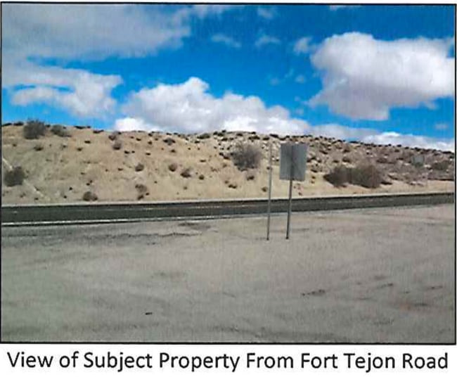
Vac Vic Fort Tejon Rd, Pearblossom, CA 93553
NEARBY LISTINGS FOR SALE OR LEASE
Property Detail
Vac Vic Fort Tejon Rd
Los Angeles-Long Beach-Glendale, CA
*LOT (EX OF STS) COM AT INTERSECTION OF W LINE OF SEC 35 T 5N R 10W WITH C/L OF HOMER RD (PER C S 8061-2) TH SE ON SD C/L TO C/L OF LONGVIEW RD (PER OR 34576- 322) TH NE THEREON TO SW LINE OF LAND POR OF W 1/2 OF SEC 34 T 5N R 10W
3060-024-019
Los Angeles
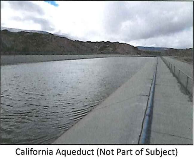
Desertorbarrenland
California
A
34
06037C0950F
145.26 AC
2024
NE LA County Outlying
2025
Los Angeles
911001
DEMOGRAPHICS near Vac Vic Fort Tejon Rd
1 Mile
3 Mile
5 Mile
2024 Total Population
384
1,782
3,169
2029 Population
358
1,678
3,007
Pop Growth 2024-2029
(6.77%)
(5.84%)
(5.11%)
Average Age
43
44
45
2024 Total Households
144
675
1,192
HH Growth 2024-2029
(6.94%)
(6.07%)
(5.54%)
Median Household Inc
$43,749
$65,437
$66,975
Avg Household Size
2.60
2.50
2.50
2024 Avg HH Vehicles
2.00
2.00
2.00
Median Home Value
$264,062
$307,979
$328,437
Median Year Built
1974
1975
1976
Nearby Places
Map Layers
Map Styles
 Street
 Aerial
- Restaurants
- Banks
- Shops
- Fitness
- Groceries
SALE & LEASE HISTORY
LISTING DATE
SALE/LEASE

Sep 11, 2020
For Sale
Nearby Properties
Address
Land Use
TOTAL SIZE
Lot Size
Zoning
Address
Land Use
TOTAL SIZE
Lot Size
Zoning
9,100 SF
1.16 AC
LCC3*
Address
Land Use
TOTAL SIZE
Lot Size
Zoning
13,869 SF
79.83 AC
LCA21*
Address
Land Use
TOTAL SIZE
Lot Size
Zoning
8,344 SF
39.79 AC
LCA22*
Address
Land Use
TOTAL SIZE
Lot Size
Zoning
5,127 SF
12.51 AC
LCA11*
Address
Land Use
TOTAL SIZE
Lot Size
Zoning
27,490 SF
41.06 AC
LCA21*
Address
Land Use
TOTAL SIZE
Lot Size
Zoning
4,191 SF
1.18 AC
LCC3*
Address
Land Use
TOTAL SIZE
Lot Size
Zoning
9,125 SF
0.48 AC
LCC3*
Address
Land Use
TOTAL SIZE
Lot Size
Zoning
132.63 AC
LCRA7500-C
Address
Land Use
TOTAL SIZE
Lot Size
Zoning
4,440 SF
0.78 AC
LCR3*
Address
Land Use
TOTAL SIZE
Lot Size
Zoning
4,440 SF
0.80 AC
LCR3*
Address
Land Use
TOTAL SIZE
Lot Size
Zoning
1,887 SF
0.62 AC
LCC3*
Address
Land Use
TOTAL SIZE
Lot Size
Zoning
7,095 SF
1.44 AC
LCRA7500*
Address
Land Use
TOTAL SIZE
Lot Size
Zoning
1,971 SF
0.82 AC
LCC3*
Address
Land Use
TOTAL SIZE
Lot Size
Zoning
1 SF
274.77 AC
LCA11-A120
Address
Land Use
TOTAL SIZE
Lot Size
Zoning
139.65 AC
LCA22*
Address
Land Use
TOTAL SIZE
Lot Size
Zoning
2,701 SF
0.41 AC
LCC3*
Address
Land Use
TOTAL SIZE
Lot Size
Zoning
4,256 SF
0.85 AC
LCR3*
Address
Land Use
TOTAL SIZE
Lot Size
Zoning
77.42 AC
LCRA10000*
Address
Land Use
TOTAL SIZE
Lot Size
Zoning
44.45 AC
LCRA1*
Address
Land Use
TOTAL SIZE
Lot Size
Zoning
1,101 SF
0.26 AC
LCC3*
Address
Land Use
TOTAL SIZE
Lot Size
Zoning
11,622 SF
1.29 AC
LCC3
Address
Land Use
TOTAL SIZE
Lot Size
Zoning
4,400 SF
0.82 AC
LCC3*
Address
Land Use
TOTAL SIZE
Lot Size
Zoning
3,442 SF
1.23 AC
LCC3*
Address
Land Use
TOTAL SIZE
Lot Size
Zoning
16.55 AC
LCC3-R3-RA
Address
Land Use
TOTAL SIZE
Lot Size
Zoning
900 SF
4.64 AC
LCC3-RA100
Address
Land Use
TOTAL SIZE
Lot Size
Zoning
20.01 AC
LCA11*
Address
Land Use
TOTAL SIZE
Lot Size
Zoning
Address
Land Use
TOTAL SIZE
Lot Size
Zoning
155.46 AC
LCA11*
Address
Land Use
TOTAL SIZE
Lot Size
Zoning
44.78 AC
LCA22*
Address
Land Use
TOTAL SIZE
Lot Size
Zoning
1 SF
80.17 AC
LCA21*
The World's #1 Commercial Real Estate Marketplace
Connect with us
© 2025 CoStar Group
The information above has been obtained from sources believed reliable. While we do not doubt its accuracy we have not verified it and make no guarantee, warranty or representation about it. It is your responsibility to independently confirm its accuracy and completeness. Any projections, opinions, assumptions, or estimates used are for example only and do not represent the current or future performance of the property. The value of this transaction to you depends on tax and other factors which should be evaluated by your tax, financial, and legal advisors. You and your advisors should conduct a careful, independent investigation of the property to determine to your satisfaction the suitability of the property for your needs.