Property Record
Venture Dr, Eau Claire, WI 54703
Property Detail
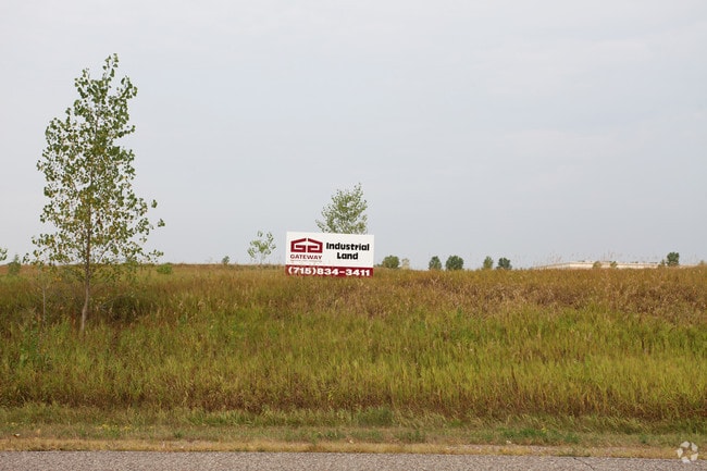
Venture Dr
Eau Claire, WI
PCL LAND LOC SW SW SEC 1-27-10 BOUNDED ON N BY VENTURE DR ON THE S BY THE UNION PACIFIC RR R/W ON THE E BY THE W LN & W LN EX
14-1521
EAU CLAIRE
Taxexempt
Wisconsin
I1P
1
B and X Area of moderate flood hazard, usually the area between the limits of the 100-year and 500-year floods.
13.62 AC
0
Eau Claire/Menomonie
2024
Other Market Areas
000600
NEARBY LISTINGS FOR SALE OR LEASE
-
-
View all Eau Claire listings for sale on LoopNet.com
DEMOGRAPHICS near Venture Dr
1 mile
3 mile
5 mile
2025 Total Population
873
21,614
63,032
2030 Population
918
22,302
64,631
Pop Growth 2025-2030
+ 5.15%
+ 3.18%
+ 2.54%
Average Age
41
39
37
2025 Total Households
367
9,113
25,757
HH Growth 2025-2030
+ 5.18%
+ 3.27%
+ 2.69%
Median Household Inc
$79,435
$73,935
$69,765
Avg Household Size
2.30
2.30
2.20
2025 Avg HH Vehicles
2.00
2.00
2.00
Median Home Value
$289,246
$244,635
$244,481
Median Year Built
2004
1977
1972
Nearby Places
Map Layers
Map Styles
 Street
 Aerial
Transit
 Traffic
 Biking
Places
Listings with unknown addresses are not visible on the map
- Restaurants
- Banks
- Shops
- Fitness
- Groceries
Nearby Properties
Address
Land Use
TOTAL SIZE
Lot Size
Zoning
Address
Land Use
TOTAL SIZE
Lot Size
Zoning
119.93 AC
Address
Land Use
TOTAL SIZE
Lot Size
Zoning
33.32 AC
I1
Address
Land Use
TOTAL SIZE
Lot Size
Zoning
40.76 AC
I1P
Address
Land Use
TOTAL SIZE
Lot Size
Zoning
61.27 AC
C2
Address
Land Use
TOTAL SIZE
Lot Size
Zoning
21.83 AC
I1
Address
Land Use
TOTAL SIZE
Lot Size
Zoning
66.12 AC
I1
Address
Land Use
TOTAL SIZE
Lot Size
Zoning
169,740 SF
19.59 AC
C3P
Address
Land Use
TOTAL SIZE
Lot Size
Zoning
163,428 SF
30.30 AC
I1P
Address
Land Use
TOTAL SIZE
Lot Size
Zoning
36.59 AC
I1
Address
Land Use
TOTAL SIZE
Lot Size
Zoning
207,960 SF
9.22 AC
I1P
Address
Land Use
TOTAL SIZE
Lot Size
Zoning
10.68 AC
I1P
Address
Land Use
TOTAL SIZE
Lot Size
Zoning
38,808 SF
11.65 AC
I1P
Address
Land Use
TOTAL SIZE
Lot Size
Zoning
103,890 SF
6.30 AC
R4P
Address
Land Use
TOTAL SIZE
Lot Size
Zoning
Address
Land Use
TOTAL SIZE
Lot Size
Zoning
14.28 AC
I1P
Address
Land Use
TOTAL SIZE
Lot Size
Zoning
73,414 SF
2.46 AC
C3P
Address
Land Use
TOTAL SIZE
Lot Size
Zoning
84.65 AC
Address
Land Use
TOTAL SIZE
Lot Size
Zoning
38.99 AC
I1
Address
Land Use
TOTAL SIZE
Lot Size
Zoning
25.27 AC
I2
Address
Land Use
TOTAL SIZE
Lot Size
Zoning
50,980 SF
1.99 AC
R3P
Address
Land Use
TOTAL SIZE
Lot Size
Zoning
42.25 AC
I1
Address
Land Use
TOTAL SIZE
Lot Size
Zoning
69,320 SF
5.98 AC
Address
Land Use
TOTAL SIZE
Lot Size
Zoning
22.53 AC
I1
Address
Land Use
TOTAL SIZE
Lot Size
Zoning
187,686 SF
68.56 AC
I1P
Address
Land Use
TOTAL SIZE
Lot Size
Zoning
64,850 SF
8.01 AC
I1P
Address
Land Use
TOTAL SIZE
Lot Size
Zoning
100,800 SF
10.25 AC
I1P
Address
Land Use
TOTAL SIZE
Lot Size
Zoning
2.68 AC
Address
Land Use
TOTAL SIZE
Lot Size
Zoning
5.44 AC
Address
Land Use
TOTAL SIZE
Lot Size
Zoning
42,544 SF
3.73 AC
C2P
Address
Land Use
TOTAL SIZE
Lot Size
Zoning
7,454 SF
7.71 AC
R3P
The World's #1 Commercial Real Estate Marketplace
Connect with us
© 2026 CoStar Group
The information above has been obtained from sources believed reliable. While we do not doubt its accuracy we have not verified it and make no guarantee, warranty or representation about it. It is your responsibility to independently confirm its accuracy and completeness. Any projections, opinions, assumptions, or estimates used are for example only and do not represent the current or future performance of the property. The value of this transaction to you depends on tax and other factors which should be evaluated by your tax, financial, and legal advisors. You and your advisors should conduct a careful, independent investigation of the property to determine to your satisfaction the suitability of the property for your needs.