Property Record
W Britton Rd, Perry, MI 48872
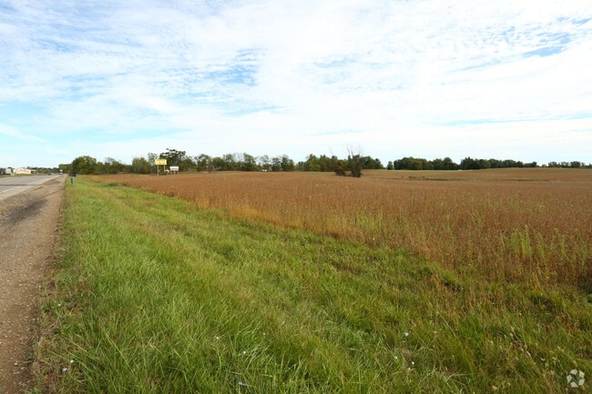

Property Detail
W Britton Rd
Owosso, MI
CITY OF PERRY SEC 10, T5N, R2E COM AT PT WHICH IS W ON S LN OF SEC 330.55 FT & N0145'50!W 1160.66 FT & N8814'10!E 198 FT FROM
024-60-006-001-03
SHIAWASSEE
Commercialacreage
Michigan
B and X Area of moderate flood hazard, usually the area between the limits of the 100-year and 500-year floods.
14.91 AC
2025
Midland/Flint
2025
Other Market Areas
031501
NEARBY LISTINGS FOR SALE OR LEASE
-
-
View all Perry listings for sale on LoopNet.com
DEMOGRAPHICS near W Britton Rd
1 mile
3 mile
5 mile
2025 Total Population
1,321
5,506
10,200
2030 Population
1,322
5,530
10,214
Pop Growth 2025-2030
+ 0.08%
+ 0.44%
+ 0.14%
Average Age
41
40
41
2025 Total Households
517
2,110
3,900
HH Growth 2025-2030
0.00%
+ 0.33%
+ 0.05%
Median Household Inc
$63,214
$72,764
$82,425
Avg Household Size
2.50
2.60
2.60
2025 Avg HH Vehicles
2.00
2.00
2.00
Median Home Value
$161,494
$182,182
$211,391
Median Year Built
1970
1978
1978
Nearby Places
Map Layers
Map Styles
 Street
 Aerial
Transit
 Traffic
 Biking
Places
Listings with unknown addresses are not visible on the map
- Restaurants
- Banks
- Shops
- Fitness
- Groceries
PUBLIC TRANSPORTATION
AIRPORT
Capital Region International
Drive
Walk
Distance
Capital Region International
33 min
26.9 mi
Bishop International
Drive
Walk
Distance
Bishop International
42 min
30.3 mi
Freight Ports
Port of Toledo
Drive
Walk
Distance
Port of Toledo
142 min
116.8 mi
SALE & LEASE HISTORY
LISTING DATE
SALE/LEASE

Oct 02, 2017
For Sale
Nearby Properties
Address
Land Use
TOTAL SIZE
Lot Size
Zoning
Address
Land Use
TOTAL SIZE
Lot Size
Zoning
120 AC
Address
Land Use
TOTAL SIZE
Lot Size
Zoning
45,000 SF
1.70 AC
B-2
Address
Land Use
TOTAL SIZE
Lot Size
Zoning
198 AC
Address
Land Use
TOTAL SIZE
Lot Size
Zoning
2.06 AC
Address
Land Use
TOTAL SIZE
Lot Size
Zoning
5,264 SF
1 AC
Address
Land Use
TOTAL SIZE
Lot Size
Zoning
6.50 AC
Address
Land Use
TOTAL SIZE
Lot Size
Zoning
7,286 SF
8 AC
Address
Land Use
TOTAL SIZE
Lot Size
Zoning
2.24 AC
Address
Land Use
TOTAL SIZE
Lot Size
Zoning
4.66 AC
Address
Land Use
TOTAL SIZE
Lot Size
Zoning
4.69 AC
Address
Land Use
TOTAL SIZE
Lot Size
Zoning
18.30 AC
Address
Land Use
TOTAL SIZE
Lot Size
Zoning
5.10 AC
Address
Land Use
TOTAL SIZE
Lot Size
Zoning
15,992 SF
1.38 AC
R-M
Address
Land Use
TOTAL SIZE
Lot Size
Zoning
1.20 AC
Address
Land Use
TOTAL SIZE
Lot Size
Zoning
5.60 AC
Address
Land Use
TOTAL SIZE
Lot Size
Zoning
Address
Land Use
TOTAL SIZE
Lot Size
Zoning
7,788 SF
1.84 AC
R-M
Address
Land Use
TOTAL SIZE
Lot Size
Zoning
8,836 SF
1.90 AC
Address
Land Use
TOTAL SIZE
Lot Size
Zoning
1.60 AC
Address
Land Use
TOTAL SIZE
Lot Size
Zoning
Address
Land Use
TOTAL SIZE
Lot Size
Zoning
Address
Land Use
TOTAL SIZE
Lot Size
Zoning
9,600 SF
1.26 AC
Address
Land Use
TOTAL SIZE
Lot Size
Zoning
24,658 SF
1.86 AC
Address
Land Use
TOTAL SIZE
Lot Size
Zoning
Address
Land Use
TOTAL SIZE
Lot Size
Zoning
195.68 AC
Address
Land Use
TOTAL SIZE
Lot Size
Zoning
3,476 SF
2.95 AC
Address
Land Use
TOTAL SIZE
Lot Size
Zoning
56.20 AC
Address
Land Use
TOTAL SIZE
Lot Size
Zoning
Address
Land Use
TOTAL SIZE
Lot Size
Zoning
98 AC
Address
Land Use
TOTAL SIZE
Lot Size
Zoning
98.40 AC
The World's #1 Commercial Real Estate Marketplace
Connect with us
© 2026 CoStar Group
The information above has been obtained from sources believed reliable. While we do not doubt its accuracy we have not verified it and make no guarantee, warranty or representation about it. It is your responsibility to independently confirm its accuracy and completeness. Any projections, opinions, assumptions, or estimates used are for example only and do not represent the current or future performance of the property. The value of this transaction to you depends on tax and other factors which should be evaluated by your tax, financial, and legal advisors. You and your advisors should conduct a careful, independent investigation of the property to determine to your satisfaction the suitability of the property for your needs.