Property Record
W Loop 335 N, Amarillo, TX 79124


NEARBY LISTINGS FOR SALE OR LEASE
Property Detail
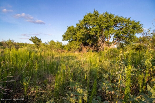
W Loop 335 N
Amarillo, TX
B S & F
R-370-0460-0520-0
SECT 46 B S & F BLK 0009, IRREG TR BEG 1059.63FT S OF NE COR OF SECT, 11.0500 ACRES
Vacantlandnec
Potter
A
Texas
48375C0510C
11.05 AC
2024
Amarillo
2025
Other Market Areas
014300
DEMOGRAPHICS near W Loop 335 N
1 Mile
3 Mile
5 Mile
2024 Total Population
500
7,625
45,843
2029 Population
479
7,451
45,289
Pop Growth 2024-2029
(4.20%)
(2.28%)
(1.21%)
Average Age
41
44
39
2024 Total Households
184
2,853
18,789
HH Growth 2024-2029
(4.35%)
(2.73%)
(1.50%)
Median Household Inc
$110,526
$95,224
$54,176
Avg Household Size
2.70
2.50
2.30
2024 Avg HH Vehicles
2.00
2.00
2.00
Median Home Value
$372,413
$349,846
$160,516
Median Year Built
2001
1997
1970
Nearby Places
Map Layers
Map Styles
 Street
 Aerial
- Restaurants
- Banks
- Shops
- Fitness
- Groceries
PUBLIC TRANSPORTATION
AIRPORT
Rick Husband Amarillo International
DRIVE
WALK
Distance
Rick Husband Amarillo International
24 min
18.7 mi
Freight Ports
Tulsa Port Of Catoosa
DRIVE
WALK
Distance
Tulsa Port Of Catoosa
405 min
385.4 mi
SALE & LEASE HISTORY
LISTING DATE
SALE/LEASE

Jun 09, 2020
For Sale
Nearby Properties
Address
Land Use
TOTAL SIZE
Lot Size
Zoning
Address
Land Use
TOTAL SIZE
Lot Size
Zoning
247,218 SF
39.36 AC
O
Address
Land Use
TOTAL SIZE
Lot Size
Zoning
108,219 SF
21.87 AC
Address
Land Use
TOTAL SIZE
Lot Size
Zoning
96,942 SF
14.98 AC
PD
Address
Land Use
TOTAL SIZE
Lot Size
Zoning
67,312 SF
13.82 AC
Address
Land Use
TOTAL SIZE
Lot Size
Zoning
54,962 SF
10.94 AC
R2
Address
Land Use
TOTAL SIZE
Lot Size
Zoning
95,337 SF
10.47 AC
I1
Address
Land Use
TOTAL SIZE
Lot Size
Zoning
206,486 SF
31.47 AC
GR
Address
Land Use
TOTAL SIZE
Lot Size
Zoning
50,351 SF
4.44 AC
Address
Land Use
TOTAL SIZE
Lot Size
Zoning
41,600 SF
10.39 AC
Address
Land Use
TOTAL SIZE
Lot Size
Zoning
128,873 SF
7.64 AC
MF1
Address
Land Use
TOTAL SIZE
Lot Size
Zoning
139,785 SF
15.45 AC
Address
Land Use
TOTAL SIZE
Lot Size
Zoning
42,799 SF
10.89 AC
Address
Land Use
TOTAL SIZE
Lot Size
Zoning
36,887 SF
4.13 AC
O2
Address
Land Use
TOTAL SIZE
Lot Size
Zoning
144,210 SF
11.47 AC
PD
Address
Land Use
TOTAL SIZE
Lot Size
Zoning
63,545 SF
6.81 AC
O
Address
Land Use
TOTAL SIZE
Lot Size
Zoning
30,130 SF
5 AC
PD
Address
Land Use
TOTAL SIZE
Lot Size
Zoning
51,545 SF
7.03 AC
GR
Address
Land Use
TOTAL SIZE
Lot Size
Zoning
25,782 SF
3.22 AC
PD
Address
Land Use
TOTAL SIZE
Lot Size
Zoning
35,580 SF
8 AC
PD
Address
Land Use
TOTAL SIZE
Lot Size
Zoning
32,198 SF
9.60 AC
Address
Land Use
TOTAL SIZE
Lot Size
Zoning
10,392 SF
5.01 AC
Address
Land Use
TOTAL SIZE
Lot Size
Zoning
31,684 SF
2.75 AC
MF1
Address
Land Use
TOTAL SIZE
Lot Size
Zoning
12,712 SF
1.18 AC
O
Address
Land Use
TOTAL SIZE
Lot Size
Zoning
Address
Land Use
TOTAL SIZE
Lot Size
Zoning
108,268 SF
2.95 AC
MF2
Address
Land Use
TOTAL SIZE
Lot Size
Zoning
18,417 SF
5 AC
R2
Address
Land Use
TOTAL SIZE
Lot Size
Zoning
11,050 SF
0.92 AC
Address
Land Use
TOTAL SIZE
Lot Size
Zoning
26,275 SF
5.01 AC
R2
Address
Land Use
TOTAL SIZE
Lot Size
Zoning
68,590 SF
3.78 AC
Address
Land Use
TOTAL SIZE
Lot Size
Zoning
16,830 SF
5.11 AC
A
The World's #1 Commercial Real Estate Marketplace
Connect with us
© 2026 CoStar Group
The information above has been obtained from sources believed reliable. While we do not doubt its accuracy we have not verified it and make no guarantee, warranty or representation about it. It is your responsibility to independently confirm its accuracy and completeness. Any projections, opinions, assumptions, or estimates used are for example only and do not represent the current or future performance of the property. The value of this transaction to you depends on tax and other factors which should be evaluated by your tax, financial, and legal advisors. You and your advisors should conduct a careful, independent investigation of the property to determine to your satisfaction the suitability of the property for your needs.