Property Record
W Main St, Glen Carbon, IL 62034

Save to a Folder
{{folder.Name}}
{{folder.ListingIds.length}} Properties
{{folder.ListingIds.length}} Property
Create a New Folder
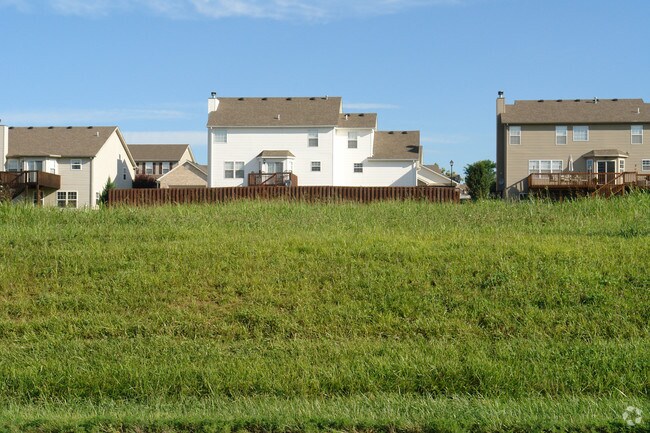
Property Detail
W Main St
St. Louis, MO-IL
SE PT SUR 510 CL 338 NW
13-1-21-04-00-000-002.001
MADISON
Commercialacreage
Illinois
2025
2.33 AC
2025
Illinois
403121
St. Louis
NEARBY LISTINGS FOR SALE OR LEASE
DEMOGRAPHICS near W Main St
1 mile
3 mile
5 mile
2025 Total Population
2,721
20,473
70,994
2030 Population
2,714
20,206
70,430
Pop Growth 2025-2030
(0.26%)
(1.30%)
(0.79%)
Average Age
44
42
41
2025 Total Households
1,059
8,112
27,696
HH Growth 2025-2030
(0.38%)
(1.39%)
(0.89%)
Median Household Inc
$97,088
$95,876
$85,699
Avg Household Size
2.50
2.40
2.40
2025 Avg HH Vehicles
2.00
2.00
2.00
Median Home Value
$308,849
$285,878
$253,220
Median Year Built
1991
1990
1985
Nearby Places
Map Layers
Map Styles
 Street
 Aerial
Layers
 Traffic
 Biking
Places
Listings with unknown addresses are not visible on the map
- Restaurants
- Banks
- Shops
- Fitness
- Groceries
PUBLIC TRANSPORTATION
AIRPORT
St Louis Lambert International
Drive
Walk
Distance
St Louis Lambert International
31 min
22.4 mi
Scott AFB/Midamerica St Louis
Drive
Walk
Distance
Scott AFB/Midamerica St Louis
42 min
26.6 mi
Freight Ports
Port Milwaukee
Drive
Walk
Distance
Port Milwaukee
402 min
356.6 mi
Nearby Properties
Address
Land Use
TOTAL SIZE
Lot Size
Zoning
Address
Land Use
TOTAL SIZE
Lot Size
Zoning
717,060 SF
53.39 AC
Address
Land Use
TOTAL SIZE
Lot Size
Zoning
674,750 SF
58.72 AC
Address
Land Use
TOTAL SIZE
Lot Size
Zoning
520,980 SF
47.38 AC
Address
Land Use
TOTAL SIZE
Lot Size
Zoning
593,940 SF
54.05 AC
Address
Land Use
TOTAL SIZE
Lot Size
Zoning
4.40 AC
Address
Land Use
TOTAL SIZE
Lot Size
Zoning
28,164 SF
9.31 AC
Address
Land Use
TOTAL SIZE
Lot Size
Zoning
10.83 AC
Address
Land Use
TOTAL SIZE
Lot Size
Zoning
3,209 SF
8.62 AC
Address
Land Use
TOTAL SIZE
Lot Size
Zoning
Address
Land Use
TOTAL SIZE
Lot Size
Zoning
2,724 SF
11.26 AC
Address
Land Use
TOTAL SIZE
Lot Size
Zoning
85,519 SF
10.09 AC
Address
Land Use
TOTAL SIZE
Lot Size
Zoning
13,104 SF
5.80 AC
Address
Land Use
TOTAL SIZE
Lot Size
Zoning
58,359 SF
5 AC
Address
Land Use
TOTAL SIZE
Lot Size
Zoning
5,280 SF
3.69 AC
Address
Land Use
TOTAL SIZE
Lot Size
Zoning
30,968 SF
6.32 AC
Address
Land Use
TOTAL SIZE
Lot Size
Zoning
48,241 SF
2.03 AC
Address
Land Use
TOTAL SIZE
Lot Size
Zoning
32,800 SF
3.81 AC
Address
Land Use
TOTAL SIZE
Lot Size
Zoning
35,046 SF
6.82 AC
Address
Land Use
TOTAL SIZE
Lot Size
Zoning
16,910 SF
129.11 AC
Address
Land Use
TOTAL SIZE
Lot Size
Zoning
15,124 SF
2.83 AC
Address
Land Use
TOTAL SIZE
Lot Size
Zoning
25,320 SF
1.34 AC
Address
Land Use
TOTAL SIZE
Lot Size
Zoning
26,055 SF
1.36 AC
Address
Land Use
TOTAL SIZE
Lot Size
Zoning
Address
Land Use
TOTAL SIZE
Lot Size
Zoning
5,280 SF
2.72 AC
Address
Land Use
TOTAL SIZE
Lot Size
Zoning
86,935 SF
8.02 AC
Address
Land Use
TOTAL SIZE
Lot Size
Zoning
27,600 SF
3.71 AC
Address
Land Use
TOTAL SIZE
Lot Size
Zoning
16,680 SF
1.20 AC
Address
Land Use
TOTAL SIZE
Lot Size
Zoning
40,826 SF
3.51 AC
Address
Land Use
TOTAL SIZE
Lot Size
Zoning
33,476 SF
Address
Land Use
TOTAL SIZE
Lot Size
Zoning
7,150 SF
7.63 AC
The World's #1 Commercial Real Estate Marketplace
Connect with us
© 2026 CoStar Group
The information above has been obtained from sources believed reliable. While we do not doubt its accuracy we have not verified it and make no guarantee, warranty or representation about it. It is your responsibility to independently confirm its accuracy and completeness. Any projections, opinions, assumptions, or estimates used are for example only and do not represent the current or future performance of the property. The value of this transaction to you depends on tax and other factors which should be evaluated by your tax, financial, and legal advisors. You and your advisors should conduct a careful, independent investigation of the property to determine to your satisfaction the suitability of the property for your needs.