Property Record
W New Bern Rd, Kinston, NC 28504

Save to a Folder
{{folder.Name}}
{{folder.ListingIds.length}} Properties
{{folder.ListingIds.length}} Property
Create a New Folder
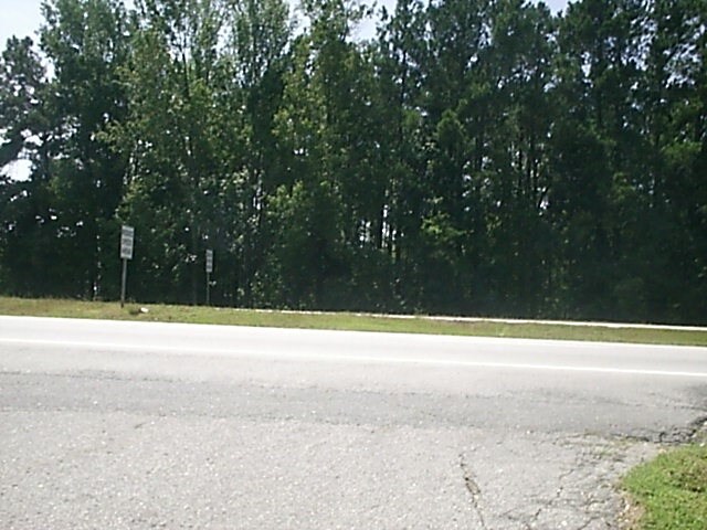
Property Detail
W New Bern Rd
451504518223
W NEW BERN RD L 25K 12/16
Vacantlandnec
LENOIR
B1
North Carolina
AE The base floodplain where base flood elevations are provided. AE Zones are now used on new format FIRMs instead of A1-A30 Zones.
1.89 AC
2025
North Carolina Southeast Area
2025
Other Market Areas
011001
Kinston, NC
NEARBY LISTINGS FOR SALE OR LEASE
DEMOGRAPHICS near W New Bern Rd
1 mile
3 mile
5 mile
2025 Total Population
476
19,824
28,748
2030 Population
489
20,258
29,253
Pop Growth 2025-2030
+ 2.73%
+ 2.19%
+ 1.76%
Average Age
42
42
43
2025 Total Households
200
8,618
12,361
HH Growth 2025-2030
+ 2.50%
+ 2.30%
+ 1.84%
Median Household Inc
$46,250
$36,920
$41,035
Avg Household Size
2.20
2.20
2.20
2025 Avg HH Vehicles
1.00
1.00
2.00
Median Home Value
$128,788
$125,913
$127,097
Median Year Built
1973
1967
1972
Nearby Places
Map Layers
Map Styles
 Street
 Aerial
Layers
 Traffic
 Biking
Places
Listings with unknown addresses are not visible on the map
- Restaurants
- Banks
- Shops
- Fitness
- Groceries
PUBLIC TRANSPORTATION
AIRPORT
Albert J Ellis
Drive
Walk
Distance
Albert J Ellis
60 min
34.3 mi
Pitt-Greenville
Drive
Walk
Distance
Pitt-Greenville
47 min
36.5 mi
Freight Ports
Port of Morehead City
Drive
Walk
Distance
Port of Morehead City
108 min
76.7 mi
SALE & LEASE HISTORY
LISTING DATE
SALE/LEASE

Sep 24, 2016
For Sale
Nearby Properties
Address
Land Use
TOTAL SIZE
Lot Size
Zoning
Address
Land Use
TOTAL SIZE
Lot Size
Zoning
274,824 SF
54.92 AC
OI
Address
Land Use
TOTAL SIZE
Lot Size
Zoning
22,420 SF
762.37 AC
RA6
Address
Land Use
TOTAL SIZE
Lot Size
Zoning
185,181 SF
12.24 AC
SC
Address
Land Use
TOTAL SIZE
Lot Size
Zoning
107,460 SF
17.70 AC
I2
Address
Land Use
TOTAL SIZE
Lot Size
Zoning
247,376 SF
99.63 AC
I1
Address
Land Use
TOTAL SIZE
Lot Size
Zoning
64,008 SF
24 AC
I1
Address
Land Use
TOTAL SIZE
Lot Size
Zoning
20,042 SF
77.79 AC
O&I
Address
Land Use
TOTAL SIZE
Lot Size
Zoning
191,518 SF
20.71 AC
SC
Address
Land Use
TOTAL SIZE
Lot Size
Zoning
144,099 SF
23.48 AC
RA8
Address
Land Use
TOTAL SIZE
Lot Size
Zoning
525,504 SF
76.02 AC
I1
Address
Land Use
TOTAL SIZE
Lot Size
Zoning
7,700 SF
16.52 AC
RA6
Address
Land Use
TOTAL SIZE
Lot Size
Zoning
45,675 SF
2.89 AC
IB
Address
Land Use
TOTAL SIZE
Lot Size
Zoning
118,696 SF
15.62 AC
IB
Address
Land Use
TOTAL SIZE
Lot Size
Zoning
234.71 AC
I1
Address
Land Use
TOTAL SIZE
Lot Size
Zoning
77,100 SF
1.91 AC
B2
Address
Land Use
TOTAL SIZE
Lot Size
Zoning
119,634 SF
1.86 AC
B2
Address
Land Use
TOTAL SIZE
Lot Size
Zoning
51,934 SF
0.32 AC
B2
Address
Land Use
TOTAL SIZE
Lot Size
Zoning
73,800 SF
5.38 AC
B1
Address
Land Use
TOTAL SIZE
Lot Size
Zoning
18,213 SF
159.12 AC
OI
Address
Land Use
TOTAL SIZE
Lot Size
Zoning
23,086 SF
7.39 AC
RA5
Address
Land Use
TOTAL SIZE
Lot Size
Zoning
424,443 SF
104.04 AC
SC
Address
Land Use
TOTAL SIZE
Lot Size
Zoning
10,900 SF
9.14 AC
SC
Address
Land Use
TOTAL SIZE
Lot Size
Zoning
39,537 SF
1.58 AC
SC
Address
Land Use
TOTAL SIZE
Lot Size
Zoning
44,800 SF
9.75 AC
O&I
Address
Land Use
TOTAL SIZE
Lot Size
Zoning
6,178 SF
6.33 AC
RA5
Address
Land Use
TOTAL SIZE
Lot Size
Zoning
108,816 SF
1.30 AC
B2
Address
Land Use
TOTAL SIZE
Lot Size
Zoning
11,270 SF
112 AC
RA6
Address
Land Use
TOTAL SIZE
Lot Size
Zoning
8,640 SF
8.03 AC
RA5
Address
Land Use
TOTAL SIZE
Lot Size
Zoning
83,088 SF
1.19 AC
B2
Address
Land Use
TOTAL SIZE
Lot Size
Zoning
14,706 SF
2.62 AC
B1
The World's #1 Commercial Real Estate Marketplace
Connect with us
© 2026 CoStar Group
The information above has been obtained from sources believed reliable. While we do not doubt its accuracy we have not verified it and make no guarantee, warranty or representation about it. It is your responsibility to independently confirm its accuracy and completeness. Any projections, opinions, assumptions, or estimates used are for example only and do not represent the current or future performance of the property. The value of this transaction to you depends on tax and other factors which should be evaluated by your tax, financial, and legal advisors. You and your advisors should conduct a careful, independent investigation of the property to determine to your satisfaction the suitability of the property for your needs.