Property Record
W Orchard Dr, Twin Falls, ID 83301

Property Detail
W Orchard Dr
RPT00107204800A
TWIN FALLS ACRES INSIDE SW14, EXC W 1.60A OF SW 418 SE SE SW & EXC PHEASANT COVE ESTATES SUBD #1 (20-10-17)
Miscellaneous
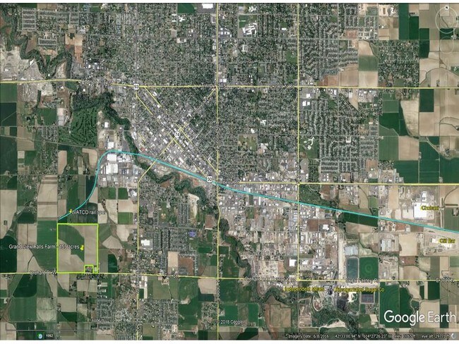
TWIN FALLS
C-1
Idaho
B and X Area of moderate flood hazard, usually the area between the limits of the 100-year and 500-year floods.
154.94 AC
2025
Idaho South Area
2025
Other Market Areas
001100
Twin Falls, ID
NEARBY LISTINGS FOR SALE OR LEASE
DEMOGRAPHICS near W Orchard Dr
1 mile
3 mile
5 mile
2025 Total Population
1,591
29,986
64,969
2030 Population
1,685
31,617
68,568
Pop Growth 2025-2030
+ 5.91%
+ 5.44%
+ 5.54%
Average Age
36
37
38
2025 Total Households
624
11,519
24,071
HH Growth 2025-2030
+ 5.93%
+ 5.52%
+ 5.63%
Median Household Inc
$63,860
$58,117
$65,618
Avg Household Size
2.50
2.50
2.60
2025 Avg HH Vehicles
2.00
2.00
2.00
Median Home Value
$279,656
$286,465
$327,147
Median Year Built
2001
1975
1986
Nearby Places
Map Layers
Map Styles
 Street
 Aerial
Layers
 Traffic
 Biking
Places
Listings with unknown addresses are not visible on the map
- Restaurants
- Banks
- Shops
- Fitness
- Groceries
SALE & LEASE HISTORY
LISTING DATE
SALE/LEASE

Mar 26, 2018
For Sale
Nearby Properties
Address
Land Use
TOTAL SIZE
Lot Size
Zoning
Address
Land Use
TOTAL SIZE
Lot Size
Zoning
6,384 SF
5.89 AC
M-2
Address
Land Use
TOTAL SIZE
Lot Size
Zoning
382,261 SF
11.44 AC
M-2
Address
Land Use
TOTAL SIZE
Lot Size
Zoning
167,708 SF
14.90 AC
C-1
Address
Land Use
TOTAL SIZE
Lot Size
Zoning
240,740 SF
6.74 AC
M-2
Address
Land Use
TOTAL SIZE
Lot Size
Zoning
127,520 SF
16.82 AC
M-2
Address
Land Use
TOTAL SIZE
Lot Size
Zoning
20,016 SF
4.40 AC
R-6
Address
Land Use
TOTAL SIZE
Lot Size
Zoning
40,730 SF
0.36 AC
O-T
Address
Land Use
TOTAL SIZE
Lot Size
Zoning
78,849 SF
18.66 AC
M-2
Address
Land Use
TOTAL SIZE
Lot Size
Zoning
233,304 SF
6.01 AC
M-2
Address
Land Use
TOTAL SIZE
Lot Size
Zoning
52,095 SF
0.22 AC
C-B
Address
Land Use
TOTAL SIZE
Lot Size
Zoning
36,192 SF
0.34 AC
C-B
Address
Land Use
TOTAL SIZE
Lot Size
Zoning
157,403 SF
14.69 AC
M-1
Address
Land Use
TOTAL SIZE
Lot Size
Zoning
52,068 SF
0.86 AC
R-4
Address
Land Use
TOTAL SIZE
Lot Size
Zoning
14,913 SF
104.49 AC
M-2
Address
Land Use
TOTAL SIZE
Lot Size
Zoning
5,906 SF
3.28 AC
R-4
Address
Land Use
TOTAL SIZE
Lot Size
Zoning
33,600 SF
0.94 AC
C-1
Address
Land Use
TOTAL SIZE
Lot Size
Zoning
54,800 SF
6.65 AC
M-2
Address
Land Use
TOTAL SIZE
Lot Size
Zoning
8,192 SF
4.21 AC
R-6
Address
Land Use
TOTAL SIZE
Lot Size
Zoning
21,100 SF
4.05 AC
M-2
Address
Land Use
TOTAL SIZE
Lot Size
Zoning
8,120 SF
2.31 AC
R-4
Address
Land Use
TOTAL SIZE
Lot Size
Zoning
40,800 SF
8.40 AC
M-2
Address
Land Use
TOTAL SIZE
Lot Size
Zoning
48,160 SF
4.11 AC
M-2
Address
Land Use
TOTAL SIZE
Lot Size
Zoning
123,873 SF
4.82 AC
M-2
Address
Land Use
TOTAL SIZE
Lot Size
Zoning
48,300 SF
7.15 AC
Address
Land Use
TOTAL SIZE
Lot Size
Zoning
19,225 SF
0.92 AC
C-B
Address
Land Use
TOTAL SIZE
Lot Size
Zoning
71,579 SF
5.71 AC
C-1
Address
Land Use
TOTAL SIZE
Lot Size
Zoning
43,624 SF
1.76 AC
C-1
Address
Land Use
TOTAL SIZE
Lot Size
Zoning
34,075 SF
2.27 AC
M-2
The World's #1 Commercial Real Estate Marketplace
Connect with us
© 2026 CoStar Group
The information above has been obtained from sources believed reliable. While we do not doubt its accuracy we have not verified it and make no guarantee, warranty or representation about it. It is your responsibility to independently confirm its accuracy and completeness. Any projections, opinions, assumptions, or estimates used are for example only and do not represent the current or future performance of the property. The value of this transaction to you depends on tax and other factors which should be evaluated by your tax, financial, and legal advisors. You and your advisors should conduct a careful, independent investigation of the property to determine to your satisfaction the suitability of the property for your needs.