Property Record
W Parkway St, Groves, TX 77619
NEARBY LISTINGS FOR SALE OR LEASE
Property Detail
W Parkway St
Port Arthur
Palco - P.N.
Beaumont/Port Arthur
Jefferson
Beaumont-Port Arthur, TX
Texas
049402-000-004910-00000
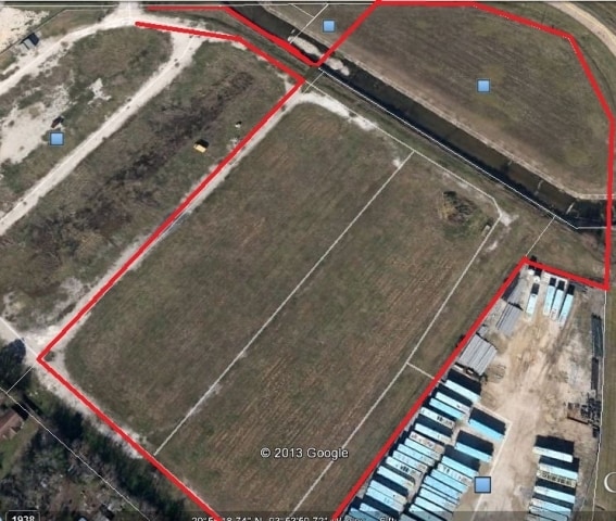
2.25 AC
Residentialacreage
DEMOGRAPHICS near W Parkway St
1 Mile
3 Mile
5 Mile
2024 Total Population
6,221
37,380
63,821
2029 Population
5,977
36,065
61,976
Pop Growth 2024-2029
(3.92%)
(3.52%)
(2.89%)
Average Age
35
36
37
2024 Total Households
2,271
13,126
23,653
HH Growth 2024-2029
(4.14%)
(3.69%)
(3.03%)
Median Household Inc
$56,178
$55,561
$54,477
Avg Household Size
2.60
2.80
2.60
2024 Avg HH Vehicles
2.00
2.00
2.00
Median Home Value
$145,358
$125,768
$126,650
Median Year Built
1972
1966
1970
Nearby Places
Map Layers
Map Styles
 Street
 Aerial
- Restaurants
- Banks
- Shops
- Fitness
- Groceries
Nearby Properties
Address
Land Use
TOTAL SIZE
Lot Size
Zoning
Address
Land Use
TOTAL SIZE
Lot Size
Zoning
157,411 SF
38.21 AC
Address
Land Use
TOTAL SIZE
Lot Size
Zoning
130,420 SF
6.78 AC
Address
Land Use
TOTAL SIZE
Lot Size
Zoning
157,188 SF
8.70 AC
Address
Land Use
TOTAL SIZE
Lot Size
Zoning
97,588 SF
2.81 AC
Address
Land Use
TOTAL SIZE
Lot Size
Zoning
183,963 SF
23.46 AC
Address
Land Use
TOTAL SIZE
Lot Size
Zoning
86,567 SF
5 AC
Address
Land Use
TOTAL SIZE
Lot Size
Zoning
151,121 SF
9.04 AC
Address
Land Use
TOTAL SIZE
Lot Size
Zoning
81,420 SF
7.16 AC
Address
Land Use
TOTAL SIZE
Lot Size
Zoning
137,317 SF
3.64 AC
Address
Land Use
TOTAL SIZE
Lot Size
Zoning
86,911 SF
4.61 AC
Address
Land Use
TOTAL SIZE
Lot Size
Zoning
39,290 SF
3.21 AC
Address
Land Use
TOTAL SIZE
Lot Size
Zoning
25,199 SF
14.75 AC
Address
Land Use
TOTAL SIZE
Lot Size
Zoning
77,552 SF
23.03 AC
Address
Land Use
TOTAL SIZE
Lot Size
Zoning
116,500 SF
11.82 AC
Address
Land Use
TOTAL SIZE
Lot Size
Zoning
48,452 SF
4.78 AC
Address
Land Use
TOTAL SIZE
Lot Size
Zoning
173,069 SF
25.79 AC
Address
Land Use
TOTAL SIZE
Lot Size
Zoning
33,090 SF
32.42 AC
Address
Land Use
TOTAL SIZE
Lot Size
Zoning
206,139 SF
14.36 AC
Address
Land Use
TOTAL SIZE
Lot Size
Zoning
123,570 SF
6.91 AC
Address
Land Use
TOTAL SIZE
Lot Size
Zoning
421.82 AC
Address
Land Use
TOTAL SIZE
Lot Size
Zoning
143,921 SF
7.15 AC
Address
Land Use
TOTAL SIZE
Lot Size
Zoning
70,065 SF
21.23 AC
Address
Land Use
TOTAL SIZE
Lot Size
Zoning
106,193 SF
9.02 AC
Address
Land Use
TOTAL SIZE
Lot Size
Zoning
35,372 SF
3.14 AC
Address
Land Use
TOTAL SIZE
Lot Size
Zoning
113,185 SF
5.65 AC
Address
Land Use
TOTAL SIZE
Lot Size
Zoning
72,926 SF
3.30 AC
Address
Land Use
TOTAL SIZE
Lot Size
Zoning
4.34 AC
Address
Land Use
TOTAL SIZE
Lot Size
Zoning
25,769 SF
10.38 AC
Address
Land Use
TOTAL SIZE
Lot Size
Zoning
41,380 SF
2.73 AC
Address
Land Use
TOTAL SIZE
Lot Size
Zoning
97,485 SF
5.94 AC
The World's #1 Commercial Real Estate Marketplace
Connect with us
© 2026 CoStar Group
The information above has been obtained from sources believed reliable. While we do not doubt its accuracy we have not verified it and make no guarantee, warranty or representation about it. It is your responsibility to independently confirm its accuracy and completeness. Any projections, opinions, assumptions, or estimates used are for example only and do not represent the current or future performance of the property. The value of this transaction to you depends on tax and other factors which should be evaluated by your tax, financial, and legal advisors. You and your advisors should conduct a careful, independent investigation of the property to determine to your satisfaction the suitability of the property for your needs.