Property Record
W Slaughter Ln, Austin, TX 78749
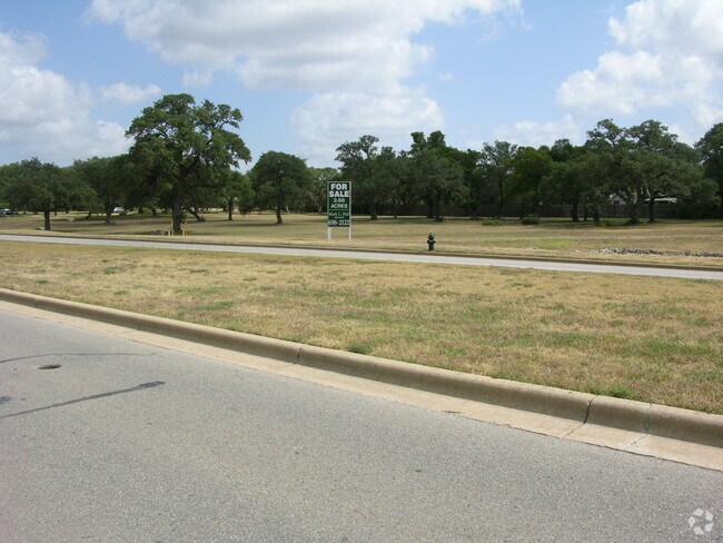

Property Detail
W Slaughter Ln
Austin-Round Rock-San Marcos, TX
ABS 788 SUR 62 WILLIAMS J ABS 340 SUR 16 HAMILTON S 1.3336 AC
381259
TRAVIS
Farms
Texas
B and X Area of moderate flood hazard, usually the area between the limits of the 100-year and 500-year floods.
82
2025
1.33 AC
2025
Southwest
031200
Austin
NEARBY LISTINGS FOR SALE OR LEASE
DEMOGRAPHICS near W Slaughter Ln
1 mile
3 mile
5 mile
2025 Total Population
7,345
64,473
139,523
2030 Population
7,531
66,375
144,669
Pop Growth 2025-2030
+ 2.53%
+ 2.95%
+ 3.69%
Average Age
39
40
40
2025 Total Households
2,650
24,762
56,673
HH Growth 2025-2030
+ 3.25%
+ 3.70%
+ 4.38%
Median Household Inc
$158,933
$137,854
$125,534
Avg Household Size
2.80
2.50
2.40
2025 Avg HH Vehicles
2.00
2.00
2.00
Median Home Value
$729,948
$702,545
$675,445
Median Year Built
1998
1998
1998
Nearby Places
Map Layers
Map Styles
 Street
 Aerial
Transit
 Traffic
 Biking
Places
Listings with unknown addresses are not visible on the map
- Restaurants
- Banks
- Shops
- Fitness
- Groceries
PUBLIC TRANSPORTATION
AIRPORT
Austin-Bergstrom International
Drive
Walk
Distance
Austin-Bergstrom International
32 min
18.0 mi
Nearby Properties
Address
Land Use
TOTAL SIZE
Lot Size
Zoning
Address
Land Use
TOTAL SIZE
Lot Size
Zoning
474,907 SF
36.94 AC
Address
Land Use
TOTAL SIZE
Lot Size
Zoning
441,209 SF
64.41 AC
Address
Land Use
TOTAL SIZE
Lot Size
Zoning
400,301 SF
22.65 AC
Address
Land Use
TOTAL SIZE
Lot Size
Zoning
355,651 SF
31.86 AC
Address
Land Use
TOTAL SIZE
Lot Size
Zoning
258,600 SF
36.81 AC
Address
Land Use
TOTAL SIZE
Lot Size
Zoning
324,135 SF
53.12 AC
Address
Land Use
TOTAL SIZE
Lot Size
Zoning
399,828 SF
50.10 AC
Address
Land Use
TOTAL SIZE
Lot Size
Zoning
327,886 SF
23.91 AC
Address
Land Use
TOTAL SIZE
Lot Size
Zoning
267,928 SF
18.13 AC
Address
Land Use
TOTAL SIZE
Lot Size
Zoning
339,456 SF
32.70 AC
Address
Land Use
TOTAL SIZE
Lot Size
Zoning
253,902 SF
28.21 AC
Address
Land Use
TOTAL SIZE
Lot Size
Zoning
345,632 SF
25.21 AC
Address
Land Use
TOTAL SIZE
Lot Size
Zoning
246,854 SF
19.40 AC
Address
Land Use
TOTAL SIZE
Lot Size
Zoning
240,640 SF
14.36 AC
Address
Land Use
TOTAL SIZE
Lot Size
Zoning
262,421 SF
33.65 AC
Address
Land Use
TOTAL SIZE
Lot Size
Zoning
126.95 AC
Address
Land Use
TOTAL SIZE
Lot Size
Zoning
183,198 SF
23 AC
Address
Land Use
TOTAL SIZE
Lot Size
Zoning
82,326 SF
53.78 AC
Address
Land Use
TOTAL SIZE
Lot Size
Zoning
189,756 SF
28.77 AC
Address
Land Use
TOTAL SIZE
Lot Size
Zoning
1,759,639 SF
153.30 AC
Address
Land Use
TOTAL SIZE
Lot Size
Zoning
194,230 SF
11.25 AC
Address
Land Use
TOTAL SIZE
Lot Size
Zoning
90,244 SF
23.03 AC
Address
Land Use
TOTAL SIZE
Lot Size
Zoning
129,313 SF
7.45 AC
Address
Land Use
TOTAL SIZE
Lot Size
Zoning
105,662 SF
37.54 AC
Address
Land Use
TOTAL SIZE
Lot Size
Zoning
148,331 SF
19.98 AC
Address
Land Use
TOTAL SIZE
Lot Size
Zoning
134,076 SF
8.54 AC
Address
Land Use
TOTAL SIZE
Lot Size
Zoning
119,556 SF
16.84 AC
Address
Land Use
TOTAL SIZE
Lot Size
Zoning
27.45 AC
Address
Land Use
TOTAL SIZE
Lot Size
Zoning
111,085 SF
14.17 AC
Address
Land Use
TOTAL SIZE
Lot Size
Zoning
102,256 SF
25.42 AC
The World's #1 Commercial Real Estate Marketplace
Connect with us
© 2026 CoStar Group
The information above has been obtained from sources believed reliable. While we do not doubt its accuracy we have not verified it and make no guarantee, warranty or representation about it. It is your responsibility to independently confirm its accuracy and completeness. Any projections, opinions, assumptions, or estimates used are for example only and do not represent the current or future performance of the property. The value of this transaction to you depends on tax and other factors which should be evaluated by your tax, financial, and legal advisors. You and your advisors should conduct a careful, independent investigation of the property to determine to your satisfaction the suitability of the property for your needs.