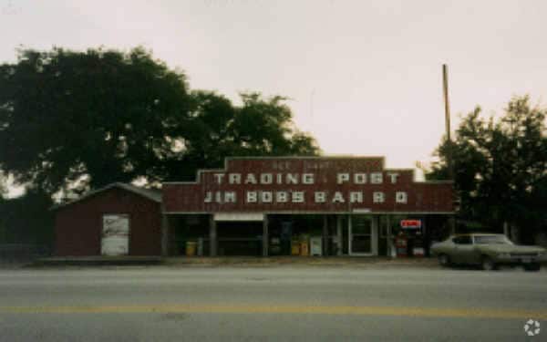
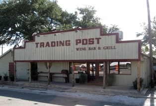
Property Record
W State Hy 71, Austin, TX 78745


Property Detail
W State Hy 71
Austin-Round Rock-San Marcos, TX
LOT 10 BLK A SHOPS AT THE GALLERIA
726653
TRAVIS
Vacantlandnec
Texas
AE The base floodplain where base flood elevations are provided. AE Zones are now used on new format FIRMs instead of A1-A30 Zones.
10
2025
6.78 AC
2025
Southwest
002409
Austin
NEARBY LISTINGS FOR SALE OR LEASE
DEMOGRAPHICS near W State Hy 71
1 mile
3 mile
5 mile
2025 Total Population
3,538
17,942
63,952
2030 Population
3,670
18,569
66,649
Pop Growth 2025-2030
+ 3.73%
+ 3.49%
+ 4.22%
Average Age
40
40
42
2025 Total Households
1,294
6,537
23,767
HH Growth 2025-2030
+ 4.48%
+ 4.15%
+ 4.90%
Median Household Inc
$106,434
$169,194
$163,302
Avg Household Size
2.70
2.70
2.60
2025 Avg HH Vehicles
2.00
2.00
2.00
Median Home Value
$908,095
$926,632
$870,558
Median Year Built
2007
2010
2007
Nearby Places
Map Layers
Map Styles
 Street
 Aerial
Transit
 Traffic
 Biking
Places
Listings with unknown addresses are not visible on the map
- Restaurants
- Banks
- Shops
- Fitness
- Groceries
PUBLIC TRANSPORTATION
AIRPORT
Austin-Bergstrom International
Drive
Walk
Distance
Austin-Bergstrom International
37 min
22.2 mi
Freight Ports
Calhoun Port
Drive
Walk
Distance
Calhoun Port
202 min
165.7 mi
Nearby Properties
Address
Land Use
TOTAL SIZE
Lot Size
Zoning
Address
Land Use
TOTAL SIZE
Lot Size
Zoning
826,410 SF
154.43 AC
Address
Land Use
TOTAL SIZE
Lot Size
Zoning
904,909 SF
39.39 AC
Address
Land Use
TOTAL SIZE
Lot Size
Zoning
554,062 SF
77.58 AC
Address
Land Use
TOTAL SIZE
Lot Size
Zoning
270,509 SF
8.84 AC
Address
Land Use
TOTAL SIZE
Lot Size
Zoning
329,638 SF
40.10 AC
Address
Land Use
TOTAL SIZE
Lot Size
Zoning
390.72 AC
Address
Land Use
TOTAL SIZE
Lot Size
Zoning
293,295 SF
9.54 AC
Address
Land Use
TOTAL SIZE
Lot Size
Zoning
267,540 SF
17.53 AC
Address
Land Use
TOTAL SIZE
Lot Size
Zoning
4,580 SF
213 AC
Address
Land Use
TOTAL SIZE
Lot Size
Zoning
278,823 SF
19.52 AC
Address
Land Use
TOTAL SIZE
Lot Size
Zoning
8,711 SF
16.94 AC
Address
Land Use
TOTAL SIZE
Lot Size
Zoning
209,936 SF
5.79 AC
Address
Land Use
TOTAL SIZE
Lot Size
Zoning
267,877 SF
16.14 AC
Address
Land Use
TOTAL SIZE
Lot Size
Zoning
59,882 SF
12.04 AC
Address
Land Use
TOTAL SIZE
Lot Size
Zoning
91,140 SF
16.47 AC
Address
Land Use
TOTAL SIZE
Lot Size
Zoning
157,030 SF
8.91 AC
Address
Land Use
TOTAL SIZE
Lot Size
Zoning
119,164 SF
23.21 AC
Address
Land Use
TOTAL SIZE
Lot Size
Zoning
150,000 SF
13.52 AC
Address
Land Use
TOTAL SIZE
Lot Size
Zoning
265,650 SF
12.15 AC
Address
Land Use
TOTAL SIZE
Lot Size
Zoning
Address
Land Use
TOTAL SIZE
Lot Size
Zoning
110,000 SF
8.37 AC
Address
Land Use
TOTAL SIZE
Lot Size
Zoning
132,793 SF
2.76 AC
Address
Land Use
TOTAL SIZE
Lot Size
Zoning
4,580 SF
171.59 AC
Address
Land Use
TOTAL SIZE
Lot Size
Zoning
55,468 SF
Address
Land Use
TOTAL SIZE
Lot Size
Zoning
90,648 SF
8.60 AC
Address
Land Use
TOTAL SIZE
Lot Size
Zoning
42,000 SF
4.62 AC
Address
Land Use
TOTAL SIZE
Lot Size
Zoning
86,673 SF
8.19 AC
Address
Land Use
TOTAL SIZE
Lot Size
Zoning
84,916 SF
17.89 AC
Address
Land Use
TOTAL SIZE
Lot Size
Zoning
95,248 SF
3.97 AC
Address
Land Use
TOTAL SIZE
Lot Size
Zoning
333.32 AC
The World's #1 Commercial Real Estate Marketplace
Connect with us
© 2026 CoStar Group
The information above has been obtained from sources believed reliable. While we do not doubt its accuracy we have not verified it and make no guarantee, warranty or representation about it. It is your responsibility to independently confirm its accuracy and completeness. Any projections, opinions, assumptions, or estimates used are for example only and do not represent the current or future performance of the property. The value of this transaction to you depends on tax and other factors which should be evaluated by your tax, financial, and legal advisors. You and your advisors should conduct a careful, independent investigation of the property to determine to your satisfaction the suitability of the property for your needs.