Property Record
W State St, Eagle, ID 83616

Property Detail
W State St
R1527450120
PAR #5460 OF NW4SW4 SEC 12 4N 1W PARCEL 1 R/S 5499 OUT FLD DIST #325450-S
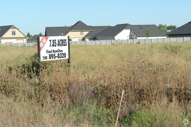
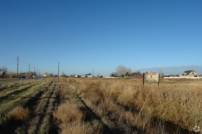
Commercialacreage
ADA
C-1-DA
Idaho
B and X Area of moderate flood hazard, usually the area between the limits of the 100-year and 500-year floods.
3.88 AC
2025
Eagle
2025
Boise City/Nampa
010232
Boise City, ID
NEARBY LISTINGS FOR SALE OR LEASE
-
-
-
No Photo
-
-
3251 N Linder Rd & 3622 N Fry Homestead
Eagle, ID 83616
$2,750,000 - $19,250,000
10 - 63.91 AC Lot
Land
-
-
-
View all Eagle listings for sale on LoopNet.com
DEMOGRAPHICS near W State St
1 mile
3 mile
5 mile
2025 Total Population
4,782
35,421
127,923
2030 Population
5,152
37,799
135,544
Pop Growth 2025-2030
+ 7.74%
+ 6.71%
+ 5.96%
Average Age
44
43
41
2025 Total Households
1,643
12,166
44,686
HH Growth 2025-2030
+ 8.16%
+ 7.19%
+ 6.39%
Median Household Inc
$124,204
$124,164
$111,152
Avg Household Size
2.90
2.90
2.80
2025 Avg HH Vehicles
2.00
2.00
2.00
Median Home Value
$842,893
$806,136
$661,894
Median Year Built
2011
2010
2007
Nearby Places
Map Layers
Map Styles
 Street
 Aerial
Transit
 Traffic
 Biking
Places
Listings with unknown addresses are not visible on the map
- Restaurants
- Banks
- Shops
- Fitness
- Groceries
PUBLIC TRANSPORTATION
AIRPORT
Boise Air Trml/Gowen Field
Drive
Walk
Distance
Boise Air Trml/Gowen Field
40 min
21.8 mi
Freight Ports
Port of Portland
Drive
Walk
Distance
Port of Portland
466 min
421.3 mi
Nearby Properties
Address
Land Use
TOTAL SIZE
Lot Size
Zoning
Address
Land Use
TOTAL SIZE
Lot Size
Zoning
342,567 SF
19.16 AC
MU-DA
Address
Land Use
TOTAL SIZE
Lot Size
Zoning
15.16 AC
R-14-DA
Address
Land Use
TOTAL SIZE
Lot Size
Zoning
178,710 SF
13.47 AC
R-13
Address
Land Use
TOTAL SIZE
Lot Size
Zoning
265.60 AC
R-2-DA
Address
Land Use
TOTAL SIZE
Lot Size
Zoning
126,466 SF
5.29 AC
R-40
Address
Land Use
TOTAL SIZE
Lot Size
Zoning
227,392 SF
4.40 AC
L-O
Address
Land Use
TOTAL SIZE
Lot Size
Zoning
96,860 SF
12.62 AC
LI-DA
Address
Land Use
TOTAL SIZE
Lot Size
Zoning
170,333 SF
14.65 AC
C-3-DA
Address
Land Use
TOTAL SIZE
Lot Size
Zoning
152,895 SF
14.29 AC
C-G
Address
Land Use
TOTAL SIZE
Lot Size
Zoning
59,778 SF
3.68 AC
C-3-DA
Address
Land Use
TOTAL SIZE
Lot Size
Zoning
68,707 SF
2.83 AC
C-3-DA
Address
Land Use
TOTAL SIZE
Lot Size
Zoning
2,496 SF
222.96 AC
R-2-DA
Address
Land Use
TOTAL SIZE
Lot Size
Zoning
80,913 SF
8 AC
C-C
Address
Land Use
TOTAL SIZE
Lot Size
Zoning
174,428 SF
10 AC
MU
Address
Land Use
TOTAL SIZE
Lot Size
Zoning
246,075 SF
11.16 AC
C-2
Address
Land Use
TOTAL SIZE
Lot Size
Zoning
20,595 SF
2.32 AC
MU
Address
Land Use
TOTAL SIZE
Lot Size
Zoning
93,791 SF
6.41 AC
MU-DA
Address
Land Use
TOTAL SIZE
Lot Size
Zoning
56,382 SF
3.94 AC
C-C
Address
Land Use
TOTAL SIZE
Lot Size
Zoning
58,267 SF
3.65 AC
MU-DA
Address
Land Use
TOTAL SIZE
Lot Size
Zoning
104,234 SF
8 AC
MU-DA
Address
Land Use
TOTAL SIZE
Lot Size
Zoning
49,508 SF
1.34 AC
MU-DA
Address
Land Use
TOTAL SIZE
Lot Size
Zoning
89.84 AC
R-4-DA
Address
Land Use
TOTAL SIZE
Lot Size
Zoning
3,840 SF
19.22 AC
R-3-DA-P
Address
Land Use
TOTAL SIZE
Lot Size
Zoning
6,237 SF
1.83 AC
C-C
Address
Land Use
TOTAL SIZE
Lot Size
Zoning
40,340 SF
2.63 AC
R-15
Address
Land Use
TOTAL SIZE
Lot Size
Zoning
54,604 SF
2.72 AC
MU-DA
Address
Land Use
TOTAL SIZE
Lot Size
Zoning
32,848 SF
2.09 AC
C-1
Address
Land Use
TOTAL SIZE
Lot Size
Zoning
32,848 SF
1.32 AC
C-1
Address
Land Use
TOTAL SIZE
Lot Size
Zoning
51,307 SF
4.66 AC
CBD-DA
Address
Land Use
TOTAL SIZE
Lot Size
Zoning
26,096 SF
1.84 AC
CBD
The World's #1 Commercial Real Estate Marketplace
Connect with us
© 2026 CoStar Group
The information above has been obtained from sources believed reliable. While we do not doubt its accuracy we have not verified it and make no guarantee, warranty or representation about it. It is your responsibility to independently confirm its accuracy and completeness. Any projections, opinions, assumptions, or estimates used are for example only and do not represent the current or future performance of the property. The value of this transaction to you depends on tax and other factors which should be evaluated by your tax, financial, and legal advisors. You and your advisors should conduct a careful, independent investigation of the property to determine to your satisfaction the suitability of the property for your needs.