Property Record
W Thomas St, , LA

NEARBY LISTINGS FOR SALE OR LEASE
Property Detail
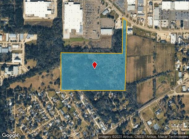
W Thomas St
Hammond, LA
Survey Of Wr Engineering Inc
04516109
27.38A IN SEC 27 T6 SR7E B574 P333 B769 P401 B1071 P561 B1374 P578
Residentialacreage
Tangipahoa
A
Louisiana
22063C0325E
27.38 AC
2024
Louisiana South Area
2024
Other Market Areas
954001
DEMOGRAPHICS near W Thomas St
1 mile
3 mile
5 mile
2024 Total Population
3,747
33,834
63,691
2029 Population
4,065
36,721
68,859
Pop Growth 2024-2029
+ 8.49%
+ 8.53%
+ 8.11%
Average Age
38
36
37
2024 Total Households
1,398
12,928
24,719
HH Growth 2024-2029
+ 8.58%
+ 8.66%
+ 8.18%
Median Household Inc
$43,333
$41,384
$51,371
Avg Household Size
2.50
2.40
2.40
2024 Avg HH Vehicles
2.00
2.00
2.00
Median Home Value
$169,852
$182,524
$198,062
Median Year Built
1990
1987
1992
Nearby Places
Map Layers
Map Styles
 Street
 Aerial
Transit
 Traffic
 Biking
Places
Listings with unknown addresses are not visible on the map
- Restaurants
- Banks
- Shops
- Fitness
- Groceries
PUBLIC TRANSPORTATION
COMMUTER RAIL
Hammond Amtrak Station (City of New Orleans - Amtrak)
Drive
Walk
Distance
Hammond Amtrak Station (City of New Orleans - Amtrak)
5 min
2.5 mi
Freight Ports
Port of Greater Baton Rouge
Drive
Walk
Distance
Port of Greater Baton Rouge
61 min
46.2 mi
SALE & LEASE HISTORY
LISTING DATE
SALE/LEASE

Sep 24, 2016
For Sale
Mar 09, 2017
For Sale
Jul 12, 2017
For Sale
Nearby Properties
Address
Land Use
TOTAL SIZE
Lot Size
Zoning
Address
Land Use
TOTAL SIZE
Lot Size
Zoning
Address
Land Use
TOTAL SIZE
Lot Size
Zoning
491,200 SF
67.96 AC
Address
Land Use
TOTAL SIZE
Lot Size
Zoning
154,391 SF
12.30 AC
Address
Land Use
TOTAL SIZE
Lot Size
Zoning
Address
Land Use
TOTAL SIZE
Lot Size
Zoning
1.74 AC
Address
Land Use
TOTAL SIZE
Lot Size
Zoning
126,240 SF
17.06 AC
Address
Land Use
TOTAL SIZE
Lot Size
Zoning
57,600 SF
2.07 AC
Address
Land Use
TOTAL SIZE
Lot Size
Zoning
82,860 SF
11.42 AC
Address
Land Use
TOTAL SIZE
Lot Size
Zoning
2,310 SF
13.25 AC
Address
Land Use
TOTAL SIZE
Lot Size
Zoning
24,931 SF
2.67 AC
Address
Land Use
TOTAL SIZE
Lot Size
Zoning
1.56 AC
Address
Land Use
TOTAL SIZE
Lot Size
Zoning
432 SF
14.80 AC
Address
Land Use
TOTAL SIZE
Lot Size
Zoning
0.89 AC
Address
Land Use
TOTAL SIZE
Lot Size
Zoning
127,380 SF
9.70 AC
Address
Land Use
TOTAL SIZE
Lot Size
Zoning
147.07 AC
Address
Land Use
TOTAL SIZE
Lot Size
Zoning
199,026 SF
33 AC
Address
Land Use
TOTAL SIZE
Lot Size
Zoning
73,922 SF
9.99 AC
Address
Land Use
TOTAL SIZE
Lot Size
Zoning
108,000 SF
9.78 AC
Address
Land Use
TOTAL SIZE
Lot Size
Zoning
22,000 SF
5.56 AC
Address
Land Use
TOTAL SIZE
Lot Size
Zoning
135,524 SF
31.08 AC
Address
Land Use
TOTAL SIZE
Lot Size
Zoning
47,960 SF
9.16 AC
Address
Land Use
TOTAL SIZE
Lot Size
Zoning
96,064 SF
5.03 AC
Address
Land Use
TOTAL SIZE
Lot Size
Zoning
85,430 SF
6.44 AC
Address
Land Use
TOTAL SIZE
Lot Size
Zoning
60,480 SF
7.28 AC
Address
Land Use
TOTAL SIZE
Lot Size
Zoning
20,128 SF
20.77 AC
Address
Land Use
TOTAL SIZE
Lot Size
Zoning
22,507 SF
0.63 AC
Address
Land Use
TOTAL SIZE
Lot Size
Zoning
80,506 SF
13.56 AC
Address
Land Use
TOTAL SIZE
Lot Size
Zoning
96,994 SF
4.21 AC
Address
Land Use
TOTAL SIZE
Lot Size
Zoning
43,595 SF
10.17 AC
Address
Land Use
TOTAL SIZE
Lot Size
Zoning
The World's #1 Commercial Real Estate Marketplace
Connect with us
© 2026 CoStar Group
The information above has been obtained from sources believed reliable. While we do not doubt its accuracy we have not verified it and make no guarantee, warranty or representation about it. It is your responsibility to independently confirm its accuracy and completeness. Any projections, opinions, assumptions, or estimates used are for example only and do not represent the current or future performance of the property. The value of this transaction to you depends on tax and other factors which should be evaluated by your tax, financial, and legal advisors. You and your advisors should conduct a careful, independent investigation of the property to determine to your satisfaction the suitability of the property for your needs.