Property Record
W Trenton Ave, , PA
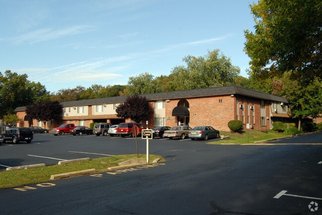


Property Detail
W Trenton Ave
Philadelphia-Camden-Wilmington, PA-NJ-DE-MD
@13-35-77 8.73A N S W TRENTON AVE 205 W DECOU DR
20-052-110
BUCKS
Commercialnec
Pennsylvania
R2
1.22 AC
2024
Lower Bucks County
2025
Philadelphia
105704
NEARBY LISTINGS FOR SALE OR LEASE
DEMOGRAPHICS near W Trenton Ave
1 mile
3 mile
5 mile
2024 Total Population
11,735
132,169
266,078
2029 Population
11,715
135,723
271,975
Pop Growth 2024-2029
(0.17%)
+ 2.69%
+ 2.22%
Average Age
41
38
40
2024 Total Households
4,761
47,693
97,595
HH Growth 2024-2029
(0.27%)
+ 2.90%
+ 2.46%
Median Household Inc
$107,021
$63,274
$79,110
Avg Household Size
2.40
2.60
2.60
2024 Avg HH Vehicles
2.00
1.00
2.00
Median Home Value
$371,428
$296,865
$326,374
Median Year Built
1955
1951
1956
Nearby Places
Map Layers
Map Styles
 Street
 Aerial
Transit
 Traffic
 Biking
Places
Listings with unknown addresses are not visible on the map
- Restaurants
- Banks
- Shops
- Fitness
- Groceries
PUBLIC TRANSPORTATION
COMMUTER RAIL
Trenton Transit Center (Trenton Line - SEPTA)
Drive
Walk
Distance
Trenton Transit Center (Trenton Line - SEPTA)
6 min
2.9 mi
Trenton Transit Center (Njt) (Northeast Corridor Line - NJ Transit Commuter Rail (NJ Transit), R7 - NJ Transit Commuter Rail (NJ Transit), River LINE - NJ Transit Commuter Rail (NJ Transit))
Drive
Walk
Distance
Trenton Transit Center (Njt) (Northeast Corridor Line - NJ Transit Commuter Rail (NJ Transit), R7 - NJ Transit Commuter Rail (NJ Transit), River LINE - NJ Transit Commuter Rail (NJ Transit))
8 min
2.9 mi
AIRPORT
Trenton Mercer
Drive
Walk
Distance
Trenton Mercer
14 min
6.6 mi
Freight Ports
Port of Philadelphia
Drive
Walk
Distance
Port of Philadelphia
41 min
27.4 mi
Nearby Properties
Address
Land Use
TOTAL SIZE
Lot Size
Zoning
Address
Land Use
TOTAL SIZE
Lot Size
Zoning
8.23 AC
BA
Address
Land Use
TOTAL SIZE
Lot Size
Zoning
26 AC
HIST
Address
Land Use
TOTAL SIZE
Lot Size
Zoning
6.69 AC
BA
Address
Land Use
TOTAL SIZE
Lot Size
Zoning
13.73 AC
Address
Land Use
TOTAL SIZE
Lot Size
Zoning
Address
Land Use
TOTAL SIZE
Lot Size
Zoning
1,996 SF
125 AC
RA
Address
Land Use
TOTAL SIZE
Lot Size
Zoning
879,376 SF
2.54 AC
BA
Address
Land Use
TOTAL SIZE
Lot Size
Zoning
43,715 SF
49.95 AC
Address
Land Use
TOTAL SIZE
Lot Size
Zoning
125,000 SF
3.68 AC
MU
Address
Land Use
TOTAL SIZE
Lot Size
Zoning
96.60 AC
OP-2
Address
Land Use
TOTAL SIZE
Lot Size
Zoning
117.50 AC
OP-1
Address
Land Use
TOTAL SIZE
Lot Size
Zoning
104,448 SF
8.49 AC
IA
Address
Land Use
TOTAL SIZE
Lot Size
Zoning
5.38 AC
MU
Address
Land Use
TOTAL SIZE
Lot Size
Zoning
288,000 SF
1.23 AC
BA
Address
Land Use
TOTAL SIZE
Lot Size
Zoning
35.83 AC
RB
Address
Land Use
TOTAL SIZE
Lot Size
Zoning
0.24 AC
BA
Address
Land Use
TOTAL SIZE
Lot Size
Zoning
186,960 SF
2.37 AC
BA
Address
Land Use
TOTAL SIZE
Lot Size
Zoning
212,074 SF
0.82 AC
BA
Address
Land Use
TOTAL SIZE
Lot Size
Zoning
23.50 AC
R-2
Address
Land Use
TOTAL SIZE
Lot Size
Zoning
13.85 AC
MU
Address
Land Use
TOTAL SIZE
Lot Size
Zoning
58,620 SF
1.95 AC
PM
Address
Land Use
TOTAL SIZE
Lot Size
Zoning
161,080 SF
2.21 AC
BA
Address
Land Use
TOTAL SIZE
Lot Size
Zoning
64.33 AC
R-2
Address
Land Use
TOTAL SIZE
Lot Size
Zoning
10.29 AC
RB
Address
Land Use
TOTAL SIZE
Lot Size
Zoning
41,000 SF
0.91 AC
HIST
Address
Land Use
TOTAL SIZE
Lot Size
Zoning
8.46 AC
RA
Address
Land Use
TOTAL SIZE
Lot Size
Zoning
7,724 SF
2.06 AC
BA
Address
Land Use
TOTAL SIZE
Lot Size
Zoning
4.07 AC
MU
Address
Land Use
TOTAL SIZE
Lot Size
Zoning
357 SF
0.96 AC
HIST
Address
Land Use
TOTAL SIZE
Lot Size
Zoning
260,160 SF
0.84 AC
BA
The World's #1 Commercial Real Estate Marketplace
Connect with us
© 2026 CoStar Group
The information above has been obtained from sources believed reliable. While we do not doubt its accuracy we have not verified it and make no guarantee, warranty or representation about it. It is your responsibility to independently confirm its accuracy and completeness. Any projections, opinions, assumptions, or estimates used are for example only and do not represent the current or future performance of the property. The value of this transaction to you depends on tax and other factors which should be evaluated by your tax, financial, and legal advisors. You and your advisors should conduct a careful, independent investigation of the property to determine to your satisfaction the suitability of the property for your needs.