No Photo
Property Record
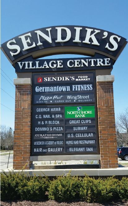
W156n11261 Pilgrim Rd, Germantown, WI 53022


NEARBY LISTINGS FOR SALE OR LEASE
Property Detail
W156n11261 Pilgrim Rd
GTNV-224972
Certified Survey Map No 5131
Drugstorepharmacycvswalgreens
PT OF SE SE PAR 1 CSM 5131 DOC 1528067 (ESMT 836849)
X
Washington
55089C0230G
Wisconsin
2024
1.63 AC
2024
Washington East
470203
Milwaukee/Madison
14,241 SF
Milwaukee-Waukesha-West Allis, WI
DEMOGRAPHICS near W156n11261 Pilgrim Rd
1 Mile
3 Mile
5 Mile
2024 Total Population
7,263
20,421
50,404
2029 Population
7,073
20,171
50,339
Pop Growth 2024-2029
(2.62%)
(1.22%)
(0.13%)
Average Age
42
42
42
2024 Total Households
3,227
8,421
21,030
HH Growth 2024-2029
(2.73%)
(1.45%)
(0.25%)
Median Household Inc
$72,874
$94,720
$83,330
Avg Household Size
2.20
2.40
2.30
2024 Avg HH Vehicles
2.00
2.00
2.00
Median Home Value
$277,364
$301,437
$295,740
Median Year Built
1982
1983
1978
Nearby Places
Map Layers
Map Styles
 Street
 Aerial
- Restaurants
- Banks
- Shops
- Fitness
- Groceries
PUBLIC TRANSPORTATION
AIRPORT
General Mitchell International
DRIVE
WALK
Distance
General Mitchell International
44 min
27.6 mi
Nearby Properties
Address
Land Use
TOTAL SIZE
Lot Size
Zoning
Address
Land Use
TOTAL SIZE
Lot Size
Zoning
36.91 AC
Address
Land Use
TOTAL SIZE
Lot Size
Zoning
Address
Land Use
TOTAL SIZE
Lot Size
Zoning
211,754 SF
30.52 AC
Address
Land Use
TOTAL SIZE
Lot Size
Zoning
222,112 SF
23.49 AC
Address
Land Use
TOTAL SIZE
Lot Size
Zoning
186,372 SF
22.16 AC
Address
Land Use
TOTAL SIZE
Lot Size
Zoning
Address
Land Use
TOTAL SIZE
Lot Size
Zoning
94,698 SF
10.67 AC
Address
Land Use
TOTAL SIZE
Lot Size
Zoning
91,708 SF
6.66 AC
Address
Land Use
TOTAL SIZE
Lot Size
Zoning
147,240 SF
2.53 AC
Address
Land Use
TOTAL SIZE
Lot Size
Zoning
147,240 SF
3.06 AC
Address
Land Use
TOTAL SIZE
Lot Size
Zoning
23.77 AC
Address
Land Use
TOTAL SIZE
Lot Size
Zoning
24.02 AC
Address
Land Use
TOTAL SIZE
Lot Size
Zoning
12.23 AC
Address
Land Use
TOTAL SIZE
Lot Size
Zoning
127,496 SF
2.88 AC
Address
Land Use
TOTAL SIZE
Lot Size
Zoning
147,987 SF
15.23 AC
Address
Land Use
TOTAL SIZE
Lot Size
Zoning
152,006 SF
12.92 AC
Address
Land Use
TOTAL SIZE
Lot Size
Zoning
153,383 SF
17.43 AC
Address
Land Use
TOTAL SIZE
Lot Size
Zoning
45,740 SF
17.54 AC
Address
Land Use
TOTAL SIZE
Lot Size
Zoning
104.57 AC
Address
Land Use
TOTAL SIZE
Lot Size
Zoning
Address
Land Use
TOTAL SIZE
Lot Size
Zoning
Address
Land Use
TOTAL SIZE
Lot Size
Zoning
Address
Land Use
TOTAL SIZE
Lot Size
Zoning
53,681 SF
38.43 AC
Address
Land Use
TOTAL SIZE
Lot Size
Zoning
125,857 SF
13.99 AC
Address
Land Use
TOTAL SIZE
Lot Size
Zoning
63,916 SF
1.99 AC
Address
Land Use
TOTAL SIZE
Lot Size
Zoning
13,912 SF
10.30 AC
Address
Land Use
TOTAL SIZE
Lot Size
Zoning
202,250 SF
9.80 AC
Address
Land Use
TOTAL SIZE
Lot Size
Zoning
62,936 SF
2.71 AC
Address
Land Use
TOTAL SIZE
Lot Size
Zoning
99,710 SF
9.55 AC
Address
Land Use
TOTAL SIZE
Lot Size
Zoning
The World's #1 Commercial Real Estate Marketplace
Connect with us
© 2026 CoStar Group
The information above has been obtained from sources believed reliable. While we do not doubt its accuracy we have not verified it and make no guarantee, warranty or representation about it. It is your responsibility to independently confirm its accuracy and completeness. Any projections, opinions, assumptions, or estimates used are for example only and do not represent the current or future performance of the property. The value of this transaction to you depends on tax and other factors which should be evaluated by your tax, financial, and legal advisors. You and your advisors should conduct a careful, independent investigation of the property to determine to your satisfaction the suitability of the property for your needs.