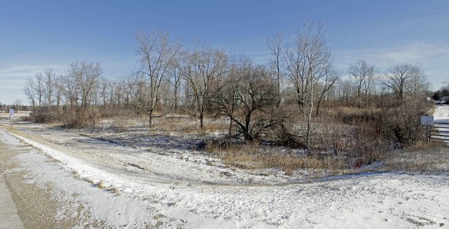
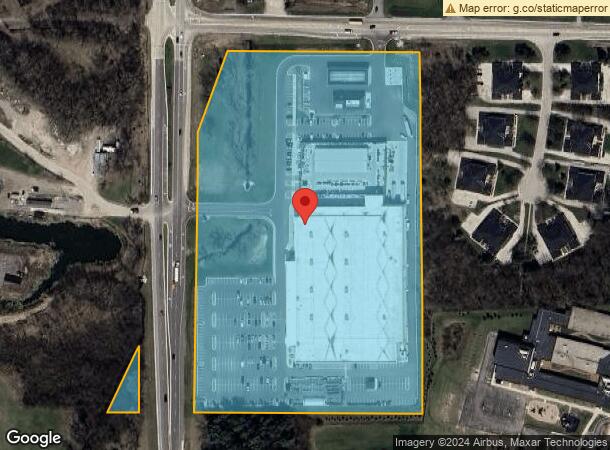
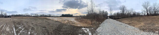
Property Record
W195s6460 Racine Ave, Muskego, WI 53150
NEARBY LISTINGS FOR SALE OR LEASE
Property Detail
W195s6460 Racine Ave
Milwaukee-Waukesha-West Allis, WI
Plat Of College Square Subline Of Colleg
MSKC-2177-996
PT NW 1/4 OF NE 1/4 SEC 5 T5N R20E; COM N1/4 CRNR OF SEC; N890501E ALNG N LINE OF SEC 79.40 FT TO ANGLE PNT IN SEC LINE; N891853E ALNG SEC LINE & CNTRLNE OF COLLEGE AVE 70.00 FT; S004109E 70.00 FT TO S R/W LINE OF COLLEGE AVE TO BGN; N891853E & PARAL
Commercialnec
Waukesha
X
Wisconsin
55133C0341G
5
2024
15.24 AC
2024
SE/Muskego
201701
Milwaukee/Madison
DEMOGRAPHICS near W195s6460 Racine Ave
1 Mile
3 Mile
5 Mile
2024 Total Population
1,980
20,137
58,416
2029 Population
2,019
20,456
59,704
Pop Growth 2024-2029
+ 1.97%
+ 1.58%
+ 2.20%
Average Age
45
44
44
2024 Total Households
812
7,950
23,174
HH Growth 2024-2029
+ 1.97%
+ 1.47%
+ 2.19%
Median Household Inc
$88,352
$99,048
$100,806
Avg Household Size
2.40
2.50
2.50
2024 Avg HH Vehicles
2.00
2.00
2.00
Median Home Value
$350,000
$358,426
$341,905
Median Year Built
1973
1979
1980
Nearby Places
Map Layers
Map Styles
 Street
 Aerial
- Restaurants
- Banks
- Shops
- Fitness
- Groceries
PUBLIC TRANSPORTATION
AIRPORT
General Mitchell International
DRIVE
WALK
Distance
General Mitchell International
23 min
15.0 mi
Freight Ports
Port Milwaukee
DRIVE
WALK
Distance
Port Milwaukee
22 min
16.9 mi
SALE & LEASE HISTORY
LISTING DATE
SALE/LEASE

Sep 24, 2016
For Sale
Apr 18, 2021
For Sale
Nearby Properties
Address
Land Use
TOTAL SIZE
Lot Size
Zoning
Address
Land Use
TOTAL SIZE
Lot Size
Zoning
464,768 SF
34.90 AC
M1
Address
Land Use
TOTAL SIZE
Lot Size
Zoning
17.68 AC
Address
Land Use
TOTAL SIZE
Lot Size
Zoning
33.26 AC
Address
Land Use
TOTAL SIZE
Lot Size
Zoning
Address
Land Use
TOTAL SIZE
Lot Size
Zoning
154,897 SF
17.51 AC
O2
Address
Land Use
TOTAL SIZE
Lot Size
Zoning
52,000 SF
12.76 AC
I1
Address
Land Use
TOTAL SIZE
Lot Size
Zoning
217,472 SF
21.27 AC
M1
Address
Land Use
TOTAL SIZE
Lot Size
Zoning
171,506 SF
11.85 AC
M1
Address
Land Use
TOTAL SIZE
Lot Size
Zoning
164,440 SF
11.63 AC
M1
Address
Land Use
TOTAL SIZE
Lot Size
Zoning
172,772 SF
13.53 AC
M1
Address
Land Use
TOTAL SIZE
Lot Size
Zoning
97,217 SF
18.38 AC
M1
Address
Land Use
TOTAL SIZE
Lot Size
Zoning
93,776 SF
7.94 AC
M1
Address
Land Use
TOTAL SIZE
Lot Size
Zoning
56,052 SF
8.46 AC
O2
Address
Land Use
TOTAL SIZE
Lot Size
Zoning
122,604 SF
11.12 AC
M1
Address
Land Use
TOTAL SIZE
Lot Size
Zoning
15.88 AC
Address
Land Use
TOTAL SIZE
Lot Size
Zoning
200,160 SF
11.44 AC
M1
Address
Land Use
TOTAL SIZE
Lot Size
Zoning
119,787 SF
10.44 AC
M1
Address
Land Use
TOTAL SIZE
Lot Size
Zoning
Address
Land Use
TOTAL SIZE
Lot Size
Zoning
100,939 SF
8.97 AC
M1
Address
Land Use
TOTAL SIZE
Lot Size
Zoning
Address
Land Use
TOTAL SIZE
Lot Size
Zoning
110,101 SF
8.51 AC
M1
Address
Land Use
TOTAL SIZE
Lot Size
Zoning
91,972 SF
7.01 AC
M1
Address
Land Use
TOTAL SIZE
Lot Size
Zoning
Address
Land Use
TOTAL SIZE
Lot Size
Zoning
Address
Land Use
TOTAL SIZE
Lot Size
Zoning
Address
Land Use
TOTAL SIZE
Lot Size
Zoning
132,478 SF
13.29 AC
M1
Address
Land Use
TOTAL SIZE
Lot Size
Zoning
5.14 AC
Address
Land Use
TOTAL SIZE
Lot Size
Zoning
80,484 SF
6.97 AC
M1
Address
Land Use
TOTAL SIZE
Lot Size
Zoning
79,844 SF
5.90 AC
M1
The World's #1 Commercial Real Estate Marketplace
Connect with us
© 2025 CoStar Group
The information above has been obtained from sources believed reliable. While we do not doubt its accuracy we have not verified it and make no guarantee, warranty or representation about it. It is your responsibility to independently confirm its accuracy and completeness. Any projections, opinions, assumptions, or estimates used are for example only and do not represent the current or future performance of the property. The value of this transaction to you depends on tax and other factors which should be evaluated by your tax, financial, and legal advisors. You and your advisors should conduct a careful, independent investigation of the property to determine to your satisfaction the suitability of the property for your needs.