Property Record
W352s10498 Tuohy Rd, Eagle, WI 53119
NEARBY LISTINGS FOR SALE OR LEASE
-
-
View all Eagle listings for sale on LoopNet.com
Property Detail
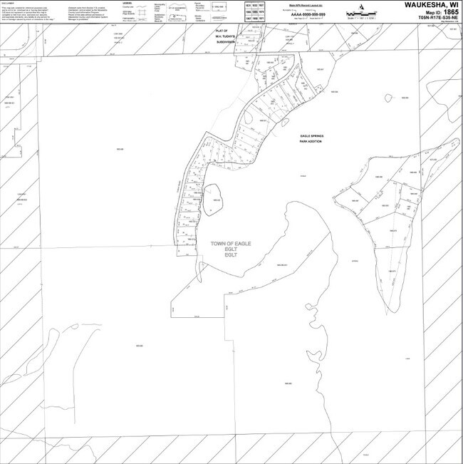
W352s10498 Tuohy Rd
Milwaukee-Waukesha, WI
Reciprocal Easement
EGLT-1865-989-001
PT NE1/4 SEC 35 T5N R17E; COM 20 FT E & 20 FT S OF SW CRNR OF W H TUOHYS SUBD; E & PARALLEL WITH S LINE OF SEC & 20 FT THRFRM 136 FT; S20W 118 FT; N75W 114 FT; N6E 73 FT TO BGN
Vacantlandnec
Waukesha
AE
Wisconsin
55133C0402G
5
2024
6.28 AC
2024
SW/Mukwonago
204002
Milwaukee/Madison
DEMOGRAPHICS near W352s10498 Tuohy Rd
1 mile
3 mile
5 mile
2024 Total Population
234
5,959
13,995
2029 Population
236
5,866
13,938
Pop Growth 2024-2029
+ 0.85%
(1.56%)
(0.41%)
Average Age
42
43
43
2024 Total Households
83
2,243
5,230
HH Growth 2024-2029
0.00%
(1.69%)
(0.65%)
Median Household Inc
$144,444
$110,907
$111,861
Avg Household Size
2.80
2.60
2.60
2024 Avg HH Vehicles
3.00
2.00
2.00
Median Home Value
$406,522
$364,650
$353,372
Median Year Built
1989
1985
1984
Nearby Places
Map Layers
Map Styles
 Street
 Aerial
Transit
 Traffic
 Biking
Places
Listings with unknown addresses are not visible on the map
- Restaurants
- Banks
- Shops
- Fitness
- Groceries
PUBLIC TRANSPORTATION
AIRPORT
General Mitchell International
Drive
Walk
Distance
General Mitchell International
51 min
33.9 mi
Freight Ports
Port Milwaukee
Drive
Walk
Distance
Port Milwaukee
50 min
35.8 mi
Nearby Properties
Address
Land Use
TOTAL SIZE
Lot Size
Zoning
Address
Land Use
TOTAL SIZE
Lot Size
Zoning
19.35 AC
Address
Land Use
TOTAL SIZE
Lot Size
Zoning
14.53 AC
Address
Land Use
TOTAL SIZE
Lot Size
Zoning
3.06 AC
Address
Land Use
TOTAL SIZE
Lot Size
Zoning
5.43 AC
Address
Land Use
TOTAL SIZE
Lot Size
Zoning
6.02 AC
Address
Land Use
TOTAL SIZE
Lot Size
Zoning
Address
Land Use
TOTAL SIZE
Lot Size
Zoning
Address
Land Use
TOTAL SIZE
Lot Size
Zoning
Address
Land Use
TOTAL SIZE
Lot Size
Zoning
Address
Land Use
TOTAL SIZE
Lot Size
Zoning
Address
Land Use
TOTAL SIZE
Lot Size
Zoning
Address
Land Use
TOTAL SIZE
Lot Size
Zoning
Address
Land Use
TOTAL SIZE
Lot Size
Zoning
Address
Land Use
TOTAL SIZE
Lot Size
Zoning
11.29 AC
Address
Land Use
TOTAL SIZE
Lot Size
Zoning
Address
Land Use
TOTAL SIZE
Lot Size
Zoning
Address
Land Use
TOTAL SIZE
Lot Size
Zoning
21.83 AC
A1
Address
Land Use
TOTAL SIZE
Lot Size
Zoning
4.14 AC
Address
Land Use
TOTAL SIZE
Lot Size
Zoning
2.98 AC
Address
Land Use
TOTAL SIZE
Lot Size
Zoning
Address
Land Use
TOTAL SIZE
Lot Size
Zoning
Address
Land Use
TOTAL SIZE
Lot Size
Zoning
Address
Land Use
TOTAL SIZE
Lot Size
Zoning
34.10 AC
Address
Land Use
TOTAL SIZE
Lot Size
Zoning
128.10 AC
Address
Land Use
TOTAL SIZE
Lot Size
Zoning
Address
Land Use
TOTAL SIZE
Lot Size
Zoning
2.04 AC
Address
Land Use
TOTAL SIZE
Lot Size
Zoning
Address
Land Use
TOTAL SIZE
Lot Size
Zoning
2.02 AC
Address
Land Use
TOTAL SIZE
Lot Size
Zoning
Address
Land Use
TOTAL SIZE
Lot Size
Zoning
1.02 AC
The World's #1 Commercial Real Estate Marketplace
Connect with us
© 2026 CoStar Group
The information above has been obtained from sources believed reliable. While we do not doubt its accuracy we have not verified it and make no guarantee, warranty or representation about it. It is your responsibility to independently confirm its accuracy and completeness. Any projections, opinions, assumptions, or estimates used are for example only and do not represent the current or future performance of the property. The value of this transaction to you depends on tax and other factors which should be evaluated by your tax, financial, and legal advisors. You and your advisors should conduct a careful, independent investigation of the property to determine to your satisfaction the suitability of the property for your needs.