Property Record
Walla Walla Rd, Junction City, KS 66441
Property Detail
Walla Walla Rd
048-33-0-40-01-002.00-0
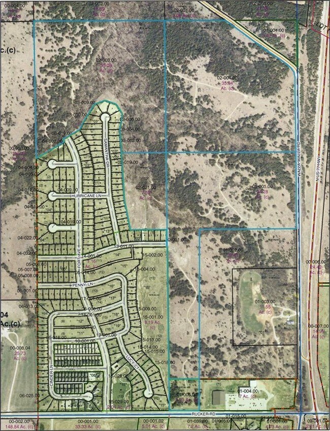
S33, T11, R05, ACRES 34.8, SW 1/4 OF NE 1/4 LESS OLIVIA FARMS ADD
Agriculturalland
GEARY
A
Kansas
B and X Area of moderate flood hazard, usually the area between the limits of the 100-year and 500-year floods.
25.09 AC
2024
I-70 Corridor
2025
Other Market Areas
000402
Manhattan, KS
NEARBY LISTINGS FOR SALE OR LEASE
-
-
View all Junction City listings for sale on LoopNet.com
DEMOGRAPHICS near Walla Walla Rd
1 mile
3 mile
5 mile
2025 Total Population
1,763
21,134
35,212
2030 Population
1,728
20,703
34,589
Pop Growth 2025-2030
(1.99%)
(2.04%)
(1.77%)
Average Age
32
33
31
2025 Total Households
645
7,806
12,161
HH Growth 2025-2030
(2.48%)
(2.14%)
(1.93%)
Median Household Inc
$66,142
$57,689
$57,076
Avg Household Size
2.70
2.60
2.60
2025 Avg HH Vehicles
2.00
2.00
2.00
Median Home Value
$192,519
$163,961
$169,355
Median Year Built
2003
1982
1988
Nearby Places
Map Layers
Map Styles
 Street
 Aerial
Layers
 Traffic
 Biking
Places
Listings with unknown addresses are not visible on the map
- Restaurants
- Banks
- Shops
- Fitness
- Groceries
PUBLIC TRANSPORTATION
AIRPORT
Manhattan Regional
Drive
Walk
Distance
Manhattan Regional
28 min
19.6 mi
Freight Ports
Tulsa Port Of Catoosa
Drive
Walk
Distance
Tulsa Port Of Catoosa
330 min
257.2 mi
SALE & LEASE HISTORY
LISTING DATE
SALE/LEASE

Sep 24, 2016
For Sale
Nearby Properties
Address
Land Use
TOTAL SIZE
Lot Size
Zoning
Address
Land Use
TOTAL SIZE
Lot Size
Zoning
402,268 SF
157.50 AC
A
Address
Land Use
TOTAL SIZE
Lot Size
Zoning
67,133 SF
15.71 AC
RG
Address
Land Use
TOTAL SIZE
Lot Size
Zoning
177,550 SF
68.20 AC
A
Address
Land Use
TOTAL SIZE
Lot Size
Zoning
60,167 SF
15.68 AC
Address
Land Use
TOTAL SIZE
Lot Size
Zoning
126,667 SF
3.17 AC
RM
Address
Land Use
TOTAL SIZE
Lot Size
Zoning
18,321 SF
0.67 AC
Address
Land Use
TOTAL SIZE
Lot Size
Zoning
16,850 SF
0.59 AC
CCS
Address
Land Use
TOTAL SIZE
Lot Size
Zoning
11,679 SF
49.73 AC
Address
Land Use
TOTAL SIZE
Lot Size
Zoning
62,043 SF
3.17 AC
CS
Address
Land Use
TOTAL SIZE
Lot Size
Zoning
34,700 SF
1.51 AC
RM
Address
Land Use
TOTAL SIZE
Lot Size
Zoning
17,388 SF
0.44 AC
Address
Land Use
TOTAL SIZE
Lot Size
Zoning
16,320 SF
6.78 AC
Address
Land Use
TOTAL SIZE
Lot Size
Zoning
8,828 SF
6.30 AC
RS
Address
Land Use
TOTAL SIZE
Lot Size
Zoning
56,611 SF
9.20 AC
CR
Address
Land Use
TOTAL SIZE
Lot Size
Zoning
56,546 SF
7.39 AC
RG
Address
Land Use
TOTAL SIZE
Lot Size
Zoning
20,898 SF
5.87 AC
CR
Address
Land Use
TOTAL SIZE
Lot Size
Zoning
29,248 SF
6.20 AC
RS
Address
Land Use
TOTAL SIZE
Lot Size
Zoning
15,452 SF
0.42 AC
Address
Land Use
TOTAL SIZE
Lot Size
Zoning
16,235 SF
5.90 AC
Address
Land Use
TOTAL SIZE
Lot Size
Zoning
36,456 SF
2.72 AC
CS
Address
Land Use
TOTAL SIZE
Lot Size
Zoning
43,404 SF
2.80 AC
Address
Land Use
TOTAL SIZE
Lot Size
Zoning
2,816 SF
297.83 AC
A
Address
Land Use
TOTAL SIZE
Lot Size
Zoning
35,160 SF
2.30 AC
RS
Address
Land Use
TOTAL SIZE
Lot Size
Zoning
13,920 SF
1.47 AC
CCS
Address
Land Use
TOTAL SIZE
Lot Size
Zoning
41,330 SF
3.22 AC
RD
Address
Land Use
TOTAL SIZE
Lot Size
Zoning
832 SF
189 AC
AP
Address
Land Use
TOTAL SIZE
Lot Size
Zoning
633.45 AC
A
Address
Land Use
TOTAL SIZE
Lot Size
Zoning
617.75 AC
A
Address
Land Use
TOTAL SIZE
Lot Size
Zoning
609.95 AC
A
Address
Land Use
TOTAL SIZE
Lot Size
Zoning
23,328 SF
10 AC
RD
The World's #1 Commercial Real Estate Marketplace
Connect with us
© 2026 CoStar Group
The information above has been obtained from sources believed reliable. While we do not doubt its accuracy we have not verified it and make no guarantee, warranty or representation about it. It is your responsibility to independently confirm its accuracy and completeness. Any projections, opinions, assumptions, or estimates used are for example only and do not represent the current or future performance of the property. The value of this transaction to you depends on tax and other factors which should be evaluated by your tax, financial, and legal advisors. You and your advisors should conduct a careful, independent investigation of the property to determine to your satisfaction the suitability of the property for your needs.