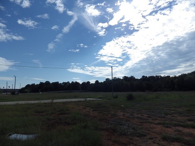
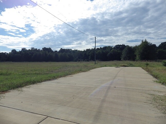
Property Record
Warpath Rd, Columbus, MS 39702

Property Detail
Warpath Rd
Columbus, MS
COMMON AREA ANNANDALE DR
55W20-00-00900
LOWNDES
Realpropertynec
Mississippi
AO River or stream flood hazard areas, and areas with a 1% or greater chance of shallow flooding each year. These areas have a 26% chance of flooding over the life of a 30-year mortgage.
3 AC
2025
Vicksburg/Central Area
2025
Other Market Areas
000406
NEARBY LISTINGS FOR SALE OR LEASE
-
-
View all Columbus listings for sale on LoopNet.com
DEMOGRAPHICS near Warpath Rd
1 mile
3 mile
5 mile
2025 Total Population
1,166
18,874
35,022
2030 Population
1,122
18,518
34,334
Pop Growth 2025-2030
(3.77%)
(1.89%)
(1.96%)
Average Age
46
40
40
2025 Total Households
458
7,502
14,361
HH Growth 2025-2030
(3.93%)
(1.92%)
(1.96%)
Median Household Inc
$64,553
$34,136
$45,863
Avg Household Size
2.20
2.30
2.30
2025 Avg HH Vehicles
2.00
2.00
2.00
Median Home Value
$126,111
$134,731
$162,351
Median Year Built
1982
1977
1978
Nearby Places
Map Layers
Map Styles
 Street
 Aerial
Transit
 Traffic
 Biking
Places
Listings with unknown addresses are not visible on the map
- Restaurants
- Banks
- Shops
- Fitness
- Groceries
PUBLIC TRANSPORTATION
AIRPORT
Golden Triangle Regional
Drive
Walk
Distance
Golden Triangle Regional
29 min
18.0 mi
Freight Ports
Port of Mobile
Drive
Walk
Distance
Port of Mobile
267 min
227.5 mi
SALE & LEASE HISTORY
LISTING DATE
SALE/LEASE

Dec 07, 2016
For Sale
Nearby Properties
Address
Land Use
TOTAL SIZE
Lot Size
Zoning
Address
Land Use
TOTAL SIZE
Lot Size
Zoning
13,500 SF
12.20 AC
Address
Land Use
TOTAL SIZE
Lot Size
Zoning
11,402 SF
30.30 AC
Address
Land Use
TOTAL SIZE
Lot Size
Zoning
16,589 SF
47.50 AC
Address
Land Use
TOTAL SIZE
Lot Size
Zoning
134,799 SF
15.29 AC
Address
Land Use
TOTAL SIZE
Lot Size
Zoning
2,044 SF
12.90 AC
Address
Land Use
TOTAL SIZE
Lot Size
Zoning
5,280 SF
9.70 AC
Address
Land Use
TOTAL SIZE
Lot Size
Zoning
10,512 SF
1.31 AC
Address
Land Use
TOTAL SIZE
Lot Size
Zoning
2,703 SF
3 AC
Address
Land Use
TOTAL SIZE
Lot Size
Zoning
1,976 SF
15.90 AC
Address
Land Use
TOTAL SIZE
Lot Size
Zoning
2,778 SF
11.80 AC
Address
Land Use
TOTAL SIZE
Lot Size
Zoning
2,503 SF
13.80 AC
Address
Land Use
TOTAL SIZE
Lot Size
Zoning
12.20 AC
Address
Land Use
TOTAL SIZE
Lot Size
Zoning
12,092 SF
1.70 AC
Address
Land Use
TOTAL SIZE
Lot Size
Zoning
14,000 SF
5 AC
Address
Land Use
TOTAL SIZE
Lot Size
Zoning
24,000 SF
18.30 AC
Address
Land Use
TOTAL SIZE
Lot Size
Zoning
2,856 SF
28.60 AC
Address
Land Use
TOTAL SIZE
Lot Size
Zoning
42,666 SF
2 AC
Address
Land Use
TOTAL SIZE
Lot Size
Zoning
160,360 SF
6.50 AC
Address
Land Use
TOTAL SIZE
Lot Size
Zoning
45,816 SF
7.66 AC
Address
Land Use
TOTAL SIZE
Lot Size
Zoning
6,202 SF
6.50 AC
Address
Land Use
TOTAL SIZE
Lot Size
Zoning
Address
Land Use
TOTAL SIZE
Lot Size
Zoning
33,366 SF
0.03 AC
Address
Land Use
TOTAL SIZE
Lot Size
Zoning
3,120 SF
5 AC
Address
Land Use
TOTAL SIZE
Lot Size
Zoning
10,592 SF
7.50 AC
Address
Land Use
TOTAL SIZE
Lot Size
Zoning
3.70 AC
Address
Land Use
TOTAL SIZE
Lot Size
Zoning
11,005 SF
1.18 AC
Address
Land Use
TOTAL SIZE
Lot Size
Zoning
26,716 SF
6.75 AC
Address
Land Use
TOTAL SIZE
Lot Size
Zoning
13,200 SF
1.65 AC
Address
Land Use
TOTAL SIZE
Lot Size
Zoning
5,608 SF
5.40 AC
Address
Land Use
TOTAL SIZE
Lot Size
Zoning
22,024 SF
5 AC
The World's #1 Commercial Real Estate Marketplace
Connect with us
© 2026 CoStar Group
The information above has been obtained from sources believed reliable. While we do not doubt its accuracy we have not verified it and make no guarantee, warranty or representation about it. It is your responsibility to independently confirm its accuracy and completeness. Any projections, opinions, assumptions, or estimates used are for example only and do not represent the current or future performance of the property. The value of this transaction to you depends on tax and other factors which should be evaluated by your tax, financial, and legal advisors. You and your advisors should conduct a careful, independent investigation of the property to determine to your satisfaction the suitability of the property for your needs.