Property Record
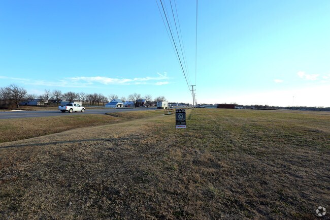
Us 75 Hwy, Bartlesville, OK 74006

Property Detail
Us 75 Hwy
Bartlesville, OK
PART SECT 32-27-13 BEG AT INTERSECTION OF N LINE OF NE SE & W R/O/W LINE OF US H/W 75; S ALONG W R/O/W LINE 960'; W 435'; N 9
0005912
WASHINGTON
Taxexempt
Oklahoma
AA1
713
AE The base floodplain where base flood elevations are provided. AE Zones are now used on new format FIRMs instead of A1-A30 Zones.
4.46 AC
0
Bartlesville
2025
Tulsa
000601
NEARBY LISTINGS FOR SALE OR LEASE
DEMOGRAPHICS near Us 75 Hwy
1 mile
3 mile
5 mile
2025 Total Population
2,072
20,590
43,316
2030 Population
2,130
21,129
44,536
Pop Growth 2025-2030
+ 2.80%
+ 2.62%
+ 2.82%
Average Age
42
41
41
2025 Total Households
857
8,578
17,609
HH Growth 2025-2030
+ 2.80%
+ 2.63%
+ 2.81%
Median Household Inc
$57,075
$53,094
$56,904
Avg Household Size
2.30
2.30
2.30
2025 Avg HH Vehicles
2.00
2.00
2.00
Median Home Value
$127,659
$155,115
$167,139
Median Year Built
1971
1968
1968
Nearby Places
Map Layers
Map Styles
 Street
 Aerial
Layers
 Traffic
 Biking
Places
Listings with unknown addresses are not visible on the map
- Restaurants
- Banks
- Shops
- Fitness
- Groceries
SALE & LEASE HISTORY
LISTING DATE
SALE/LEASE

Nov 28, 2018
For Sale
Nearby Properties
Address
Land Use
TOTAL SIZE
Lot Size
Zoning
Address
Land Use
TOTAL SIZE
Lot Size
Zoning
22,593 SF
9 AC
AA1
Address
Land Use
TOTAL SIZE
Lot Size
Zoning
413,189 SF
1.55 AC
AA1
Address
Land Use
TOTAL SIZE
Lot Size
Zoning
13,977 SF
1.38 AC
AA1
Address
Land Use
TOTAL SIZE
Lot Size
Zoning
60,500 SF
6.72 AC
AA1
Address
Land Use
TOTAL SIZE
Lot Size
Zoning
19,200 SF
2.49 AC
AA1
Address
Land Use
TOTAL SIZE
Lot Size
Zoning
21,230 SF
2.69 AC
AA1
Address
Land Use
TOTAL SIZE
Lot Size
Zoning
116,550 SF
0.32 AC
AA1
Address
Land Use
TOTAL SIZE
Lot Size
Zoning
25,003 SF
4.11 AC
AA1
Address
Land Use
TOTAL SIZE
Lot Size
Zoning
37,400 SF
2.81 AC
AA1
Address
Land Use
TOTAL SIZE
Lot Size
Zoning
24,161 SF
3.34 AC
AA1
Address
Land Use
TOTAL SIZE
Lot Size
Zoning
40,770 SF
2.07 AC
AA1
Address
Land Use
TOTAL SIZE
Lot Size
Zoning
90,510 SF
9.41 AC
Address
Land Use
TOTAL SIZE
Lot Size
Zoning
3,798 SF
3.17 AC
AA1
Address
Land Use
TOTAL SIZE
Lot Size
Zoning
195,856 SF
15.63 AC
AA1
Address
Land Use
TOTAL SIZE
Lot Size
Zoning
4,704 SF
3.44 AC
AA1
Address
Land Use
TOTAL SIZE
Lot Size
Zoning
42,368 SF
24.47 AC
AA1
Address
Land Use
TOTAL SIZE
Lot Size
Zoning
12,000 SF
0.23 AC
AA1
Address
Land Use
TOTAL SIZE
Lot Size
Zoning
92,512 SF
8.25 AC
AA1
Address
Land Use
TOTAL SIZE
Lot Size
Zoning
118,524 SF
13.97 AC
AA1
Address
Land Use
TOTAL SIZE
Lot Size
Zoning
100,000 SF
8.80 AC
AA1
Address
Land Use
TOTAL SIZE
Lot Size
Zoning
903 SF
0.96 AC
AA1
Address
Land Use
TOTAL SIZE
Lot Size
Zoning
6,592 SF
1.10 AC
AA1
Address
Land Use
TOTAL SIZE
Lot Size
Zoning
37,044 SF
0.16 AC
AA1
Address
Land Use
TOTAL SIZE
Lot Size
Zoning
33,550 SF
4.88 AC
AA1
Address
Land Use
TOTAL SIZE
Lot Size
Zoning
29,707 SF
7.36 AC
AA1
Address
Land Use
TOTAL SIZE
Lot Size
Zoning
15,300 SF
0.19 AC
AA1
Address
Land Use
TOTAL SIZE
Lot Size
Zoning
10,775 SF
0.14 AC
AA1
Address
Land Use
TOTAL SIZE
Lot Size
Zoning
4,440 SF
1.99 AC
AA1
Address
Land Use
TOTAL SIZE
Lot Size
Zoning
51,000 SF
1.29 AC
AA1
Address
Land Use
TOTAL SIZE
Lot Size
Zoning
8,845 SF
0.25 AC
AA1
The World's #1 Commercial Real Estate Marketplace
Connect with us
© 2026 CoStar Group
The information above has been obtained from sources believed reliable. While we do not doubt its accuracy we have not verified it and make no guarantee, warranty or representation about it. It is your responsibility to independently confirm its accuracy and completeness. Any projections, opinions, assumptions, or estimates used are for example only and do not represent the current or future performance of the property. The value of this transaction to you depends on tax and other factors which should be evaluated by your tax, financial, and legal advisors. You and your advisors should conduct a careful, independent investigation of the property to determine to your satisfaction the suitability of the property for your needs.