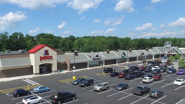
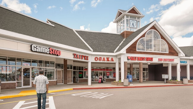
Property Record
White Oaks Rd, Laconia, NH 03246
NEARBY LISTINGS FOR SALE OR LEASE
Property Detail
White Oaks Rd
Laconia, NH
Belknap
282 241 1
New Hampshire
Regionalshoppingcenterormallwithanchorstore
1
2024
5.10 AC
2024
Concord/New Hampshire North Area
966100
Other Market Areas
104,952 SF
DEMOGRAPHICS near White Oaks Rd
1 Mile
3 Mile
5 Mile
2024 Total Population
1,191
17,320
30,023
2029 Population
1,294
18,403
31,764
Pop Growth 2024-2029
+ 8.65%
+ 6.25%
+ 5.80%
Average Age
49
47
46
2024 Total Households
557
7,867
13,288
HH Growth 2024-2029
+ 8.62%
+ 6.20%
+ 5.74%
Median Household Inc
$105,942
$76,451
$76,143
Avg Household Size
2.10
2.10
2.20
2024 Avg HH Vehicles
2.00
2.00
2.00
Median Home Value
$377,999
$329,551
$314,857
Median Year Built
1983
1980
1978
Nearby Places
Map Layers
Map Styles
 Street
 Aerial
- Restaurants
- Banks
- Shops
- Fitness
- Groceries
SALE & LEASE HISTORY
LISTING DATE
SALE/LEASE

Sep 25, 2016
For Lease
Jun 07, 2017
For Lease
Jan 10, 2022
For Lease
Nearby Properties
Address
Land Use
TOTAL SIZE
Lot Size
Zoning
Address
Land Use
TOTAL SIZE
Lot Size
Zoning
Address
Land Use
TOTAL SIZE
Lot Size
Zoning
1,370 SF
92.23 AC
UC
Address
Land Use
TOTAL SIZE
Lot Size
Zoning
147,353 SF
18.97 AC
UC
Address
Land Use
TOTAL SIZE
Lot Size
Zoning
1,600 SF
24 AC
RS
Address
Land Use
TOTAL SIZE
Lot Size
Zoning
57.90 AC
C
Address
Land Use
TOTAL SIZE
Lot Size
Zoning
26 AC
SFR
Address
Land Use
TOTAL SIZE
Lot Size
Zoning
90,077 SF
25 AC
RA
Address
Land Use
TOTAL SIZE
Lot Size
Zoning
1,954 SF
Address
Land Use
TOTAL SIZE
Lot Size
Zoning
21.50 AC
C
Address
Land Use
TOTAL SIZE
Lot Size
Zoning
9.63 AC
C
Address
Land Use
TOTAL SIZE
Lot Size
Zoning
343.45 AC
I
Address
Land Use
TOTAL SIZE
Lot Size
Zoning
53,766 SF
1.30 AC
UC
Address
Land Use
TOTAL SIZE
Lot Size
Zoning
49,398 SF
29.36 AC
RS
Address
Land Use
TOTAL SIZE
Lot Size
Zoning
29,508 SF
6.38 AC
RA
Address
Land Use
TOTAL SIZE
Lot Size
Zoning
4,943 SF
6.71 AC
UC
Address
Land Use
TOTAL SIZE
Lot Size
Zoning
276 SF
21.72 AC
RS
Address
Land Use
TOTAL SIZE
Lot Size
Zoning
30,930 SF
11.11 AC
UC
Address
Land Use
TOTAL SIZE
Lot Size
Zoning
31 AC
SFR
Address
Land Use
TOTAL SIZE
Lot Size
Zoning
0.62 AC
SFR
Address
Land Use
TOTAL SIZE
Lot Size
Zoning
15,086 SF
4.82 AC
CR
Address
Land Use
TOTAL SIZE
Lot Size
Zoning
8,318 SF
0.77 AC
SFR
Address
Land Use
TOTAL SIZE
Lot Size
Zoning
Address
Land Use
TOTAL SIZE
Lot Size
Zoning
37,344 SF
15.35 AC
RS
Address
Land Use
TOTAL SIZE
Lot Size
Zoning
10 AC
C
Address
Land Use
TOTAL SIZE
Lot Size
Zoning
1,600 SF
4.40 AC
CR
Address
Land Use
TOTAL SIZE
Lot Size
Zoning
528 SF
17 AC
UC
Address
Land Use
TOTAL SIZE
Lot Size
Zoning
35,647 SF
38 AC
RS
Address
Land Use
TOTAL SIZE
Lot Size
Zoning
0.92 AC
RC
Address
Land Use
TOTAL SIZE
Lot Size
Zoning
46,544 SF
3.77 AC
UC
The World's #1 Commercial Real Estate Marketplace
Connect with us
© 2025 CoStar Group
The information above has been obtained from sources believed reliable. While we do not doubt its accuracy we have not verified it and make no guarantee, warranty or representation about it. It is your responsibility to independently confirm its accuracy and completeness. Any projections, opinions, assumptions, or estimates used are for example only and do not represent the current or future performance of the property. The value of this transaction to you depends on tax and other factors which should be evaluated by your tax, financial, and legal advisors. You and your advisors should conduct a careful, independent investigation of the property to determine to your satisfaction the suitability of the property for your needs.