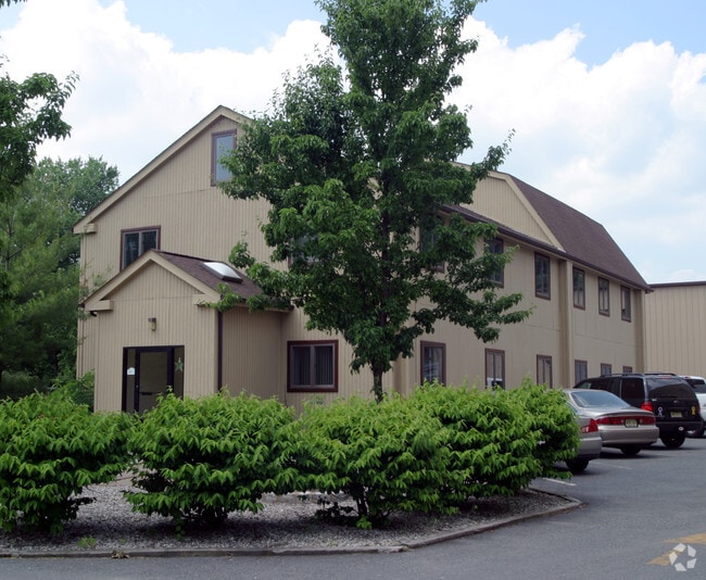
Property Record
Whitehead Ave, South River, NJ 08882

Property Detail
Whitehead Ave
Lakewood-New Brunswick, NJ
1.06AC
23-00362-0000-00002
MIDDLESEX
Vacantlandnec
New Jersey
R100
1
B and X Area of moderate flood hazard, usually the area between the limits of the 100-year and 500-year floods.
1 AC
2024
Brunswick
2025
Northern New Jersey
007000
NEARBY LISTINGS FOR SALE OR LEASE
DEMOGRAPHICS near Whitehead Ave
1 mile
3 mile
5 mile
2025 Total Population
15,387
82,354
203,531
2030 Population
16,071
85,944
212,399
Pop Growth 2025-2030
+ 4.45%
+ 4.36%
+ 4.36%
Average Age
39
41
41
2025 Total Households
5,478
28,988
73,533
HH Growth 2025-2030
+ 4.53%
+ 4.44%
+ 4.49%
Median Household Inc
$91,989
$113,856
$109,112
Avg Household Size
2.80
2.80
2.70
2025 Avg HH Vehicles
2.00
2.00
2.00
Median Home Value
$563,354
$475,357
$478,370
Median Year Built
1979
1968
1969
Nearby Places
Map Layers
Map Styles
 Street
 Aerial
Layers
 Traffic
 Biking
Places
Listings with unknown addresses are not visible on the map
- Restaurants
- Banks
- Shops
- Fitness
- Groceries
PUBLIC TRANSPORTATION
COMMUTER RAIL
New Brunswick (Northeast Corridor Line - NJ Transit Commuter Rail (NJ Transit))
Drive
Walk
Distance
New Brunswick (Northeast Corridor Line - NJ Transit Commuter Rail (NJ Transit))
15 min
7.9 mi
South Amboy (North Jersey Coast Line - NJ Transit Commuter Rail (NJ Transit))
Drive
Walk
Distance
South Amboy (North Jersey Coast Line - NJ Transit Commuter Rail (NJ Transit))
20 min
8.2 mi
AIRPORT
Newark Liberty International
Drive
Walk
Distance
Newark Liberty International
43 min
29.9 mi
Trenton Mercer
Drive
Walk
Distance
Trenton Mercer
52 min
35.1 mi
Freight Ports
New York Container Terminal
Drive
Walk
Distance
New York Container Terminal
36 min
25.1 mi
Nearby Properties
Address
Land Use
TOTAL SIZE
Lot Size
Zoning
Address
Land Use
TOTAL SIZE
Lot Size
Zoning
176.53 AC
G1
Address
Land Use
TOTAL SIZE
Lot Size
Zoning
Address
Land Use
TOTAL SIZE
Lot Size
Zoning
81,600 SF
49.89 AC
LI
Address
Land Use
TOTAL SIZE
Lot Size
Zoning
Address
Land Use
TOTAL SIZE
Lot Size
Zoning
94,867 SF
24.19 AC
R100
Address
Land Use
TOTAL SIZE
Lot Size
Zoning
160,986 SF
60.24 AC
Address
Land Use
TOTAL SIZE
Lot Size
Zoning
315,200 SF
22.76 AC
LI
Address
Land Use
TOTAL SIZE
Lot Size
Zoning
7.41 AC
MXD
Address
Land Use
TOTAL SIZE
Lot Size
Zoning
Address
Land Use
TOTAL SIZE
Lot Size
Zoning
329.22 AC
I
Address
Land Use
TOTAL SIZE
Lot Size
Zoning
245,980 SF
54.02 AC
OP1
Address
Land Use
TOTAL SIZE
Lot Size
Zoning
169.71 AC
I
Address
Land Use
TOTAL SIZE
Lot Size
Zoning
367,200 SF
34.22 AC
HC2
Address
Land Use
TOTAL SIZE
Lot Size
Zoning
14.34 AC
R100
Address
Land Use
TOTAL SIZE
Lot Size
Zoning
19.97 AC
P
Address
Land Use
TOTAL SIZE
Lot Size
Zoning
7,801 SF
9.26 AC
CN
Address
Land Use
TOTAL SIZE
Lot Size
Zoning
3,850 SF
22.94 AC
G1
Address
Land Use
TOTAL SIZE
Lot Size
Zoning
47.57 AC
SED
Address
Land Use
TOTAL SIZE
Lot Size
Zoning
18.19 AC
G1
Address
Land Use
TOTAL SIZE
Lot Size
Zoning
33.51 AC
I
Address
Land Use
TOTAL SIZE
Lot Size
Zoning
12.13 AC
R7PRD
Address
Land Use
TOTAL SIZE
Lot Size
Zoning
0.36 AC
R75
Address
Land Use
TOTAL SIZE
Lot Size
Zoning
27.73 AC
I
Address
Land Use
TOTAL SIZE
Lot Size
Zoning
118,800 SF
8.33 AC
LI
Address
Land Use
TOTAL SIZE
Lot Size
Zoning
26.80 AC
IM
Address
Land Use
TOTAL SIZE
Lot Size
Zoning
32.96 AC
MXD2
Address
Land Use
TOTAL SIZE
Lot Size
Zoning
64,544 SF
7.62 AC
C-2
Address
Land Use
TOTAL SIZE
Lot Size
Zoning
7,803 SF
16.70 AC
R6
Address
Land Use
TOTAL SIZE
Lot Size
Zoning
Address
Land Use
TOTAL SIZE
Lot Size
Zoning
219,430 SF
16.50 AC
HC2
The World's #1 Commercial Real Estate Marketplace
Connect with us
© 2026 CoStar Group
The information above has been obtained from sources believed reliable. While we do not doubt its accuracy we have not verified it and make no guarantee, warranty or representation about it. It is your responsibility to independently confirm its accuracy and completeness. Any projections, opinions, assumptions, or estimates used are for example only and do not represent the current or future performance of the property. The value of this transaction to you depends on tax and other factors which should be evaluated by your tax, financial, and legal advisors. You and your advisors should conduct a careful, independent investigation of the property to determine to your satisfaction the suitability of the property for your needs.