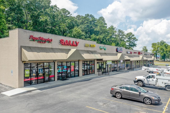
Property Record
8520/8525 Whitfield Ave, Leeds, AL 35094

Property Detail
8520/8525 Whitfield Ave
Birmingham, AL
LOT 3-A OF THE CENTURY VILLAGE AT LEEDS 10-17-1
26-02-10-0-004-007.000
ST CLAIR
Stripcommercialcenter
Alabama
B and X Area of moderate flood hazard, usually the area between the limits of the 100-year and 500-year floods.
3-a
2025
2.25 AC
2025
St Clair County
011003
Birmingham
19,600 SF
NEARBY LISTINGS FOR SALE OR LEASE
DEMOGRAPHICS near 8520/8525 Whitfield Ave
1 mile
3 mile
5 mile
2025 Total Population
2,775
15,880
28,187
2030 Population
2,856
16,235
28,691
Pop Growth 2025-2030
+ 2.92%
+ 2.24%
+ 1.79%
Average Age
40
40
40
2025 Total Households
1,115
6,492
11,097
HH Growth 2025-2030
+ 2.87%
+ 2.19%
+ 1.79%
Median Household Inc
$83,025
$75,128
$82,696
Avg Household Size
2.50
2.40
2.50
2025 Avg HH Vehicles
2.00
2.00
2.00
Median Home Value
$218,011
$196,843
$235,326
Median Year Built
1995
1991
1994
Nearby Places
Map Layers
Map Styles
 Street
 Aerial
Layers
 Traffic
 Biking
Places
Listings with unknown addresses are not visible on the map
- Restaurants
- Banks
- Shops
- Fitness
- Groceries
PUBLIC TRANSPORTATION
AIRPORT
Birmingham-Shuttlesworth International
Drive
Walk
Distance
Birmingham-Shuttlesworth International
23 min
16.5 mi
SALE & LEASE HISTORY
LISTING DATE
SALE/LEASE

Sep 25, 2016
For Lease
Jan 22, 2018
For Lease
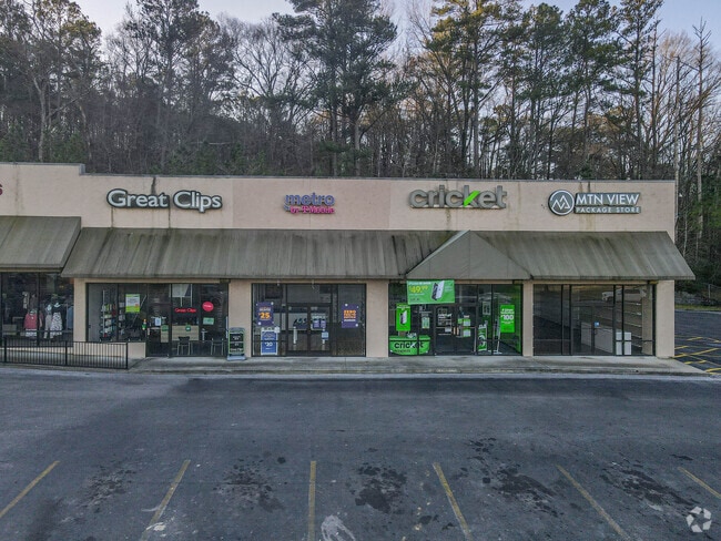
Nearby Properties
Address
Land Use
TOTAL SIZE
Lot Size
Zoning
Address
Land Use
TOTAL SIZE
Lot Size
Zoning
5,151 SF
42 AC
Address
Land Use
TOTAL SIZE
Lot Size
Zoning
6,600 SF
12.88 AC
Address
Land Use
TOTAL SIZE
Lot Size
Zoning
19,320 SF
75.60 AC
Address
Land Use
TOTAL SIZE
Lot Size
Zoning
7,856 SF
8.20 AC
Address
Land Use
TOTAL SIZE
Lot Size
Zoning
15.90 AC
Address
Land Use
TOTAL SIZE
Lot Size
Zoning
16 AC
Address
Land Use
TOTAL SIZE
Lot Size
Zoning
51,450 SF
7.45 AC
Address
Land Use
TOTAL SIZE
Lot Size
Zoning
123,425 SF
15.80 AC
Address
Land Use
TOTAL SIZE
Lot Size
Zoning
59,487 SF
9 AC
B2-R
Address
Land Use
TOTAL SIZE
Lot Size
Zoning
42,402 SF
2.49 AC
Address
Land Use
TOTAL SIZE
Lot Size
Zoning
182,000 SF
12.10 AC
Address
Land Use
TOTAL SIZE
Lot Size
Zoning
46,031 SF
8.30 AC
Address
Land Use
TOTAL SIZE
Lot Size
Zoning
1,334 SF
Address
Land Use
TOTAL SIZE
Lot Size
Zoning
184,068 SF
62 AC
M2
Address
Land Use
TOTAL SIZE
Lot Size
Zoning
29,580 SF
5.74 AC
Address
Land Use
TOTAL SIZE
Lot Size
Zoning
243,530 SF
29 AC
M2
Address
Land Use
TOTAL SIZE
Lot Size
Zoning
77,822 SF
6 AC
R-3
Address
Land Use
TOTAL SIZE
Lot Size
Zoning
139,086 SF
15 AC
M2
Address
Land Use
TOTAL SIZE
Lot Size
Zoning
18,128 SF
48 AC
Address
Land Use
TOTAL SIZE
Lot Size
Zoning
6,000 SF
8.30 AC
Address
Land Use
TOTAL SIZE
Lot Size
Zoning
80,643 SF
4 AC
R3
Address
Land Use
TOTAL SIZE
Lot Size
Zoning
4.01 AC
Address
Land Use
TOTAL SIZE
Lot Size
Zoning
2,825 SF
15.57 AC
Address
Land Use
TOTAL SIZE
Lot Size
Zoning
113,550 SF
10 AC
M-2
Address
Land Use
TOTAL SIZE
Lot Size
Zoning
141,610 SF
4 AC
M1-R
The World's #1 Commercial Real Estate Marketplace
Connect with us
© 2026 CoStar Group
The information above has been obtained from sources believed reliable. While we do not doubt its accuracy we have not verified it and make no guarantee, warranty or representation about it. It is your responsibility to independently confirm its accuracy and completeness. Any projections, opinions, assumptions, or estimates used are for example only and do not represent the current or future performance of the property. The value of this transaction to you depends on tax and other factors which should be evaluated by your tax, financial, and legal advisors. You and your advisors should conduct a careful, independent investigation of the property to determine to your satisfaction the suitability of the property for your needs.