Property Record
Woodfield Rd, , MD

Save to a Folder
{{folder.Name}}
{{folder.ListingIds.length}} Properties
{{folder.ListingIds.length}} Property
Create a New Folder
Property Detail
Woodfield Rd
12-03408515
MT RADNOR OWENS CONCLUSION
Vacantlandnec
MONTGOMERY
RUR
Maryland
B and X Area of moderate flood hazard, usually the area between the limits of the 100-year and 500-year floods.
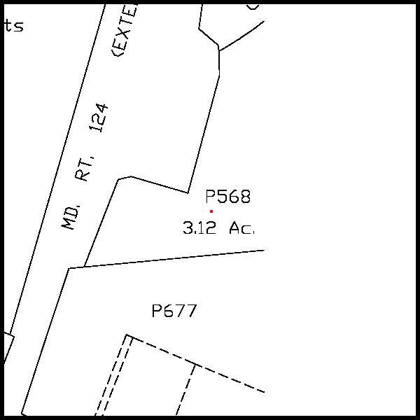
2.71 AC
2025
Outlying Montgmery Cnty E
2025
Washington, DC
700208
Washington-Arlington-Alexandria, DC-VA-MD-WV
NEARBY LISTINGS FOR SALE OR LEASE
DEMOGRAPHICS near Woodfield Rd
1 mile
3 mile
5 mile
2025 Total Population
1,640
15,569
34,818
2030 Population
1,730
16,059
36,160
Pop Growth 2025-2030
+ 5.49%
+ 3.15%
+ 3.85%
Average Age
41
40
41
2025 Total Households
562
5,173
11,606
HH Growth 2025-2030
+ 5.52%
+ 3.09%
+ 3.83%
Median Household Inc
$122,499
$141,423
$159,592
Avg Household Size
2.90
2.90
2.90
2025 Avg HH Vehicles
2.00
2.00
3.00
Median Home Value
$554,687
$517,383
$602,571
Median Year Built
1970
1981
1983
Nearby Places
Map Layers
Map Styles
 Street
 Aerial
Layers
 Traffic
 Biking
Places
Listings with unknown addresses are not visible on the map
- Restaurants
- Banks
- Shops
- Fitness
- Groceries
PUBLIC TRANSPORTATION
AIRPORT
Baltimore/Washington International Thurgood Marshall
Drive
Walk
Distance
Baltimore/Washington International Thurgood Marshall
51 min
39.9 mi
Washington Dulles International
Drive
Walk
Distance
Washington Dulles International
65 min
44.7 mi
Freight Ports
Port of Baltimore
Drive
Walk
Distance
Port of Baltimore
52 min
40.5 mi
SALE & LEASE HISTORY
LISTING DATE
SALE/LEASE

Sep 24, 2016
For Sale
Nearby Properties
Address
Land Use
TOTAL SIZE
Lot Size
Zoning
Address
Land Use
TOTAL SIZE
Lot Size
Zoning
235,986 SF
26.49 AC
R200
Address
Land Use
TOTAL SIZE
Lot Size
Zoning
145,148 SF
15 AC
CRT17
Address
Land Use
TOTAL SIZE
Lot Size
Zoning
120,532 SF
19.68 AC
RC
Address
Land Use
TOTAL SIZE
Lot Size
Zoning
79,453 SF
10 AC
R200
Address
Land Use
TOTAL SIZE
Lot Size
Zoning
73,280 SF
3.43 AC
R200
Address
Land Use
TOTAL SIZE
Lot Size
Zoning
75,520 SF
10.56 AC
R200
Address
Land Use
TOTAL SIZE
Lot Size
Zoning
135.12 AC
AR
Address
Land Use
TOTAL SIZE
Lot Size
Zoning
48.66 AC
RC
Address
Land Use
TOTAL SIZE
Lot Size
Zoning
91,381 SF
9.37 AC
CRT1.
Address
Land Use
TOTAL SIZE
Lot Size
Zoning
53,121 SF
10 AC
R200
Address
Land Use
TOTAL SIZE
Lot Size
Zoning
53,239 SF
9.42 AC
CRT1.
Address
Land Use
TOTAL SIZE
Lot Size
Zoning
111,801 SF
5.98 AC
CRT1.
Address
Land Use
TOTAL SIZE
Lot Size
Zoning
37,329 SF
8.88 AC
CRT1.
Address
Land Use
TOTAL SIZE
Lot Size
Zoning
45,000 SF
12.96 AC
AR
Address
Land Use
TOTAL SIZE
Lot Size
Zoning
16,938 SF
15.69 AC
AR
Address
Land Use
TOTAL SIZE
Lot Size
Zoning
7.59 AC
RE2
Address
Land Use
TOTAL SIZE
Lot Size
Zoning
31,064 SF
37.97 AC
RE2C
Address
Land Use
TOTAL SIZE
Lot Size
Zoning
18,016 SF
1.66 AC
CRT1.
Address
Land Use
TOTAL SIZE
Lot Size
Zoning
28,125 SF
1.22 AC
CRT1.
Address
Land Use
TOTAL SIZE
Lot Size
Zoning
34,755 SF
8.47 AC
CRT1.
Address
Land Use
TOTAL SIZE
Lot Size
Zoning
15,562 SF
7.04 AC
R200
Address
Land Use
TOTAL SIZE
Lot Size
Zoning
10,125 SF
1.36 AC
CRT1.
Address
Land Use
TOTAL SIZE
Lot Size
Zoning
20,327 SF
0.82 AC
CRT17
Address
Land Use
TOTAL SIZE
Lot Size
Zoning
14,200 SF
2.50 AC
CRT1.
Address
Land Use
TOTAL SIZE
Lot Size
Zoning
16,219 SF
5.36 AC
AR
Address
Land Use
TOTAL SIZE
Lot Size
Zoning
26,320 SF
0.70 AC
CRT17
Address
Land Use
TOTAL SIZE
Lot Size
Zoning
16,144 SF
2.15 AC
CRT17
Address
Land Use
TOTAL SIZE
Lot Size
Zoning
12,122 SF
15.80 AC
AR
Address
Land Use
TOTAL SIZE
Lot Size
Zoning
15,280 SF
85.57 AC
AR
Address
Land Use
TOTAL SIZE
Lot Size
Zoning
6,600 SF
6.24 AC
CRT1.
The World's #1 Commercial Real Estate Marketplace
Connect with us
© 2026 CoStar Group
The information above has been obtained from sources believed reliable. While we do not doubt its accuracy we have not verified it and make no guarantee, warranty or representation about it. It is your responsibility to independently confirm its accuracy and completeness. Any projections, opinions, assumptions, or estimates used are for example only and do not represent the current or future performance of the property. The value of this transaction to you depends on tax and other factors which should be evaluated by your tax, financial, and legal advisors. You and your advisors should conduct a careful, independent investigation of the property to determine to your satisfaction the suitability of the property for your needs.