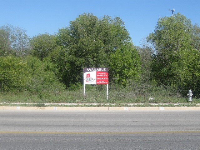
Property Record
Ww White Rd, San Antonio, TX 78222


NEARBY LISTINGS FOR SALE OR LEASE
Property Detail
Ww White Rd
San Antonio-New Braunfels, TX
The Atrium Sub
10852-000-0151
NCB 10852 BLK LOT N IRR 50.0 FT OF 15 THE ATRIUM SUBDIVISION
Vacantlandnec
Bexar
X
Texas
48029C0420G
151
2024
8.11 AC
2025
South
131401
San Antonio
DEMOGRAPHICS near Ww White Rd
1 mile
3 mile
5 mile
2024 Total Population
7,276
69,419
155,704
2029 Population
7,825
74,276
167,218
Pop Growth 2024-2029
+ 7.55%
+ 7.00%
+ 7.39%
Average Age
38
37
37
2024 Total Households
2,570
24,056
54,126
HH Growth 2024-2029
+ 7.70%
+ 7.13%
+ 7.48%
Median Household Inc
$46,000
$48,117
$42,857
Avg Household Size
2.70
2.80
2.80
2024 Avg HH Vehicles
2.00
2.00
2.00
Median Home Value
$199,090
$154,151
$148,219
Median Year Built
1980
1976
1971
Nearby Places
Map Layers
Map Styles
 Street
 Aerial
Transit
 Traffic
 Biking
Places
Listings with unknown addresses are not visible on the map
- Restaurants
- Banks
- Shops
- Fitness
- Groceries
PUBLIC TRANSPORTATION
COMMUTER RAIL
San Antonio Amtrak Station (Sunset Limited - Amtrak, Texas Eagle - Amtrak)
Drive
Walk
Distance
San Antonio Amtrak Station (Sunset Limited - Amtrak, Texas Eagle - Amtrak)
12 min
7.3 mi
AIRPORT
San Antonio International
Drive
Walk
Distance
San Antonio International
21 min
15.1 mi
Freight Ports
Calhoun Port
Drive
Walk
Distance
Calhoun Port
170 min
141.5 mi
SALE & LEASE HISTORY
LISTING DATE
SALE/LEASE

Sep 25, 2016
For Lease
Sep 24, 2016
For Sale
Nearby Properties
Address
Land Use
TOTAL SIZE
Lot Size
Zoning
Address
Land Use
TOTAL SIZE
Lot Size
Zoning
122,130 SF
541.40 AC
Address
Land Use
TOTAL SIZE
Lot Size
Zoning
348,974 SF
20.98 AC
Address
Land Use
TOTAL SIZE
Lot Size
Zoning
347,200 SF
34.77 AC
Address
Land Use
TOTAL SIZE
Lot Size
Zoning
359,459 SF
15.81 AC
Address
Land Use
TOTAL SIZE
Lot Size
Zoning
250,400 SF
20.55 AC
Address
Land Use
TOTAL SIZE
Lot Size
Zoning
380,949 SF
135.47 AC
Address
Land Use
TOTAL SIZE
Lot Size
Zoning
380,949 SF
146.39 AC
Address
Land Use
TOTAL SIZE
Lot Size
Zoning
211,200 SF
7.49 AC
Address
Land Use
TOTAL SIZE
Lot Size
Zoning
273,370 SF
11.93 AC
Address
Land Use
TOTAL SIZE
Lot Size
Zoning
245,745 SF
11.99 AC
Address
Land Use
TOTAL SIZE
Lot Size
Zoning
174,316 SF
15.38 AC
Address
Land Use
TOTAL SIZE
Lot Size
Zoning
88,420 SF
7.62 AC
Address
Land Use
TOTAL SIZE
Lot Size
Zoning
148,525 SF
30.72 AC
Address
Land Use
TOTAL SIZE
Lot Size
Zoning
33.77 AC
Address
Land Use
TOTAL SIZE
Lot Size
Zoning
193,243 SF
9.03 AC
Address
Land Use
TOTAL SIZE
Lot Size
Zoning
4,920 SF
860.60 AC
Address
Land Use
TOTAL SIZE
Lot Size
Zoning
101,517 SF
13.04 AC
Address
Land Use
TOTAL SIZE
Lot Size
Zoning
95,486 SF
12.54 AC
Address
Land Use
TOTAL SIZE
Lot Size
Zoning
332,148 SF
17.75 AC
Address
Land Use
TOTAL SIZE
Lot Size
Zoning
79,740 SF
0.60 AC
Address
Land Use
TOTAL SIZE
Lot Size
Zoning
186,995 SF
14.18 AC
Address
Land Use
TOTAL SIZE
Lot Size
Zoning
1,859 SF
60.40 AC
Address
Land Use
TOTAL SIZE
Lot Size
Zoning
44,800 SF
61.44 AC
Address
Land Use
TOTAL SIZE
Lot Size
Zoning
217,483 SF
21.94 AC
Address
Land Use
TOTAL SIZE
Lot Size
Zoning
167,114 SF
2.71 AC
Address
Land Use
TOTAL SIZE
Lot Size
Zoning
204,166 SF
23.69 AC
Address
Land Use
TOTAL SIZE
Lot Size
Zoning
137,628 SF
15.38 AC
Address
Land Use
TOTAL SIZE
Lot Size
Zoning
177,692 SF
9.16 AC
Address
Land Use
TOTAL SIZE
Lot Size
Zoning
259,779 SF
14.85 AC
Address
Land Use
TOTAL SIZE
Lot Size
Zoning
163,255 SF
10.43 AC
The World's #1 Commercial Real Estate Marketplace
Connect with us
© 2026 CoStar Group
The information above has been obtained from sources believed reliable. While we do not doubt its accuracy we have not verified it and make no guarantee, warranty or representation about it. It is your responsibility to independently confirm its accuracy and completeness. Any projections, opinions, assumptions, or estimates used are for example only and do not represent the current or future performance of the property. The value of this transaction to you depends on tax and other factors which should be evaluated by your tax, financial, and legal advisors. You and your advisors should conduct a careful, independent investigation of the property to determine to your satisfaction the suitability of the property for your needs.