Property Record
150 Mount Bethel Rd, Warren, NJ 07059


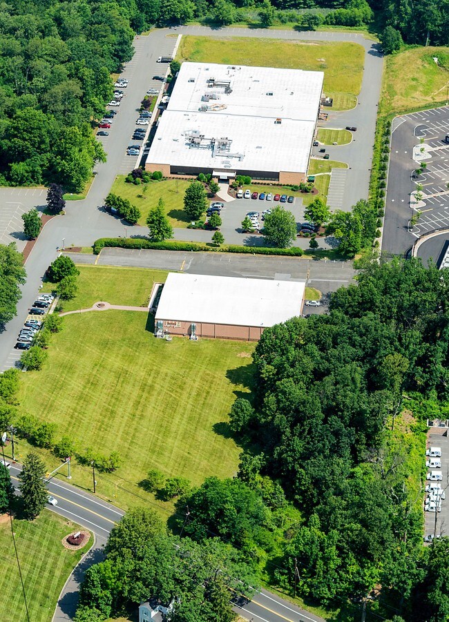

Property Detail
150 Mount Bethel Rd
20-00080-0000-00011
Somerset
Officebuilding
New Jersey
GI
11
B and X Area of moderate flood hazard, usually the area between the limits of the 100-year and 500-year floods.
15.73 AC
2024
Somerset
2025
Northern New Jersey
052201
Lakewood-New Brunswick, NJ
NEARBY LISTINGS FOR SALE OR LEASE
DEMOGRAPHICS near 150 Mount Bethel Rd
1 mile
3 mile
5 mile
2025 Total Population
2,335
31,719
162,771
2030 Population
2,464
33,105
168,594
Pop Growth 2025-2030
+ 5.52%
+ 4.37%
+ 3.58%
Average Age
44
44
41
2025 Total Households
795
11,561
54,373
HH Growth 2025-2030
+ 5.66%
+ 4.52%
+ 3.72%
Median Household Inc
$192,856
$166,560
$122,386
Avg Household Size
2.90
2.70
2.90
2025 Avg HH Vehicles
2.00
2.00
2.00
Median Home Value
$883,500
$786,483
$575,662
Median Year Built
1977
1982
1965
Nearby Places
Map Layers
Map Styles
 Street
 Aerial
Layers
 Traffic
 Biking
Places
Listings with unknown addresses are not visible on the map
- Restaurants
- Banks
- Shops
- Fitness
- Groceries
PUBLIC TRANSPORTATION
COMMUTER RAIL
Millington (Morris & Essex Gladstone Branch - NJ Transit Commuter Rail (NJ Transit))
Drive
Walk
Distance
Millington (Morris & Essex Gladstone Branch - NJ Transit Commuter Rail (NJ Transit))
9 min
3.7 mi
Lyons (Morris & Essex Gladstone Branch - NJ Transit Commuter Rail (NJ Transit))
Drive
Walk
Distance
Lyons (Morris & Essex Gladstone Branch - NJ Transit Commuter Rail (NJ Transit))
10 min
4.7 mi
AIRPORT
Newark Liberty International
Drive
Walk
Distance
Newark Liberty International
31 min
23.9 mi
Trenton Mercer
Drive
Walk
Distance
Trenton Mercer
68 min
41.5 mi
LaGuardia
Drive
Walk
Distance
LaGuardia
67 min
43.1 mi
Freight Ports
Maher Terminal
Drive
Walk
Distance
Maher Terminal
36 min
25.0 mi
SALE & LEASE HISTORY
LISTING DATE
SALE/LEASE

Sep 24, 2016
For Lease
Sep 04, 2019
For Lease
Nearby Properties
Address
Land Use
TOTAL SIZE
Lot Size
Zoning
Address
Land Use
TOTAL SIZE
Lot Size
Zoning
52.31 AC
OR
Address
Land Use
TOTAL SIZE
Lot Size
Zoning
206,077 SF
22.03 AC
B5
Address
Land Use
TOTAL SIZE
Lot Size
Zoning
34.27 AC
R65
Address
Land Use
TOTAL SIZE
Lot Size
Zoning
67.22 AC
R65
Address
Land Use
TOTAL SIZE
Lot Size
Zoning
115.79 AC
OR
Address
Land Use
TOTAL SIZE
Lot Size
Zoning
23.93 AC
B2
Address
Land Use
TOTAL SIZE
Lot Size
Zoning
Address
Land Use
TOTAL SIZE
Lot Size
Zoning
18.66 AC
CR
Address
Land Use
TOTAL SIZE
Lot Size
Zoning
8.64 AC
AH-4
Address
Land Use
TOTAL SIZE
Lot Size
Zoning
2,800 SF
16.73 AC
R20V
Address
Land Use
TOTAL SIZE
Lot Size
Zoning
13.83 AC
CB
Address
Land Use
TOTAL SIZE
Lot Size
Zoning
68,160 SF
11.66 AC
R6
Address
Land Use
TOTAL SIZE
Lot Size
Zoning
1,096 SF
15.12 AC
R5
Address
Land Use
TOTAL SIZE
Lot Size
Zoning
8.09 AC
B3
Address
Land Use
TOTAL SIZE
Lot Size
Zoning
40.36 AC
OR
Address
Land Use
TOTAL SIZE
Lot Size
Zoning
30.84 AC
OR
Address
Land Use
TOTAL SIZE
Lot Size
Zoning
23.45 AC
RHC
Address
Land Use
TOTAL SIZE
Lot Size
Zoning
61,059 SF
9.10 AC
R6
Address
Land Use
TOTAL SIZE
Lot Size
Zoning
40.73 AC
OR
Address
Land Use
TOTAL SIZE
Lot Size
Zoning
1,950 SF
10.56 AC
CR
Address
Land Use
TOTAL SIZE
Lot Size
Zoning
7,670 SF
7 AC
R-R
Address
Land Use
TOTAL SIZE
Lot Size
Zoning
22.61 AC
GI
Address
Land Use
TOTAL SIZE
Lot Size
Zoning
4.15 AC
RHC+
Address
Land Use
TOTAL SIZE
Lot Size
Zoning
Address
Land Use
TOTAL SIZE
Lot Size
Zoning
1.59 AC
GI
Address
Land Use
TOTAL SIZE
Lot Size
Zoning
2.71 AC
CR
Address
Land Use
TOTAL SIZE
Lot Size
Zoning
1.28 AC
GI
Address
Land Use
TOTAL SIZE
Lot Size
Zoning
1.21 AC
GI
Address
Land Use
TOTAL SIZE
Lot Size
Zoning
5.81 AC
RHC
The World's #1 Commercial Real Estate Marketplace
Connect with us
© 2026 CoStar Group
The information above has been obtained from sources believed reliable. While we do not doubt its accuracy we have not verified it and make no guarantee, warranty or representation about it. It is your responsibility to independently confirm its accuracy and completeness. Any projections, opinions, assumptions, or estimates used are for example only and do not represent the current or future performance of the property. The value of this transaction to you depends on tax and other factors which should be evaluated by your tax, financial, and legal advisors. You and your advisors should conduct a careful, independent investigation of the property to determine to your satisfaction the suitability of the property for your needs.