Property Record
50200 Governors Dr, Chapel Hill, NC 27517
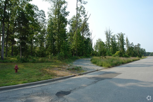

Property Detail
50200 Governors Dr
19389
TRACT D AC 3.97 BK 2018 PG 300
Vacantlandnec
CHATHAM
R-1
North Carolina
B and X Area of moderate flood hazard, usually the area between the limits of the 100-year and 500-year floods.
3.97 AC
2025
Chatham County
2025
Raleigh/Durham
020704
Durham-Chapel Hill, NC
6,952 SF
NEARBY LISTINGS FOR SALE OR LEASE
DEMOGRAPHICS near 50200 Governors Dr
1 mile
3 mile
5 mile
2025 Total Population
3,470
9,754
68,095
2030 Population
3,748
10,389
71,534
Pop Growth 2025-2030
+ 8.01%
+ 6.51%
+ 5.05%
Average Age
56
49
38
2025 Total Households
1,690
4,243
25,514
HH Growth 2025-2030
+ 8.34%
+ 6.86%
+ 5.79%
Median Household Inc
$136,597
$151,100
$102,036
Avg Household Size
2.00
2.20
2.20
2025 Avg HH Vehicles
2.00
2.00
2.00
Median Home Value
$808,369
$792,407
$671,197
Median Year Built
2000
1999
1995
Nearby Places
Map Layers
Map Styles
 Street
 Aerial
Layers
 Traffic
 Biking
Places
Listings with unknown addresses are not visible on the map
- Restaurants
- Banks
- Shops
- Fitness
- Groceries
PUBLIC TRANSPORTATION
AIRPORT
Raleigh-Durham International
Drive
Walk
Distance
Raleigh-Durham International
29 min
18.2 mi
Freight Ports
Port of Wilmington
Drive
Walk
Distance
Port of Wilmington
189 min
162.3 mi
Nearby Properties
Address
Land Use
TOTAL SIZE
Lot Size
Zoning
Address
Land Use
TOTAL SIZE
Lot Size
Zoning
5,540 SF
90.09 AC
R-1
Address
Land Use
TOTAL SIZE
Lot Size
Zoning
54,220 SF
41.04 AC
R-1
Address
Land Use
TOTAL SIZE
Lot Size
Zoning
9,057 SF
19.69 AC
R-1
Address
Land Use
TOTAL SIZE
Lot Size
Zoning
38,514 SF
25.11 AC
R-1
Address
Land Use
TOTAL SIZE
Lot Size
Zoning
27,537 SF
7.33 AC
R-1
Address
Land Use
TOTAL SIZE
Lot Size
Zoning
18,410 SF
9.81 AC
Address
Land Use
TOTAL SIZE
Lot Size
Zoning
27,322 SF
0.85 AC
NCC
Address
Land Use
TOTAL SIZE
Lot Size
Zoning
43,032 SF
2.63 AC
Address
Land Use
TOTAL SIZE
Lot Size
Zoning
2,557 SF
273.87 AC
RR
Address
Land Use
TOTAL SIZE
Lot Size
Zoning
12,028 SF
23.43 AC
R1
Address
Land Use
TOTAL SIZE
Lot Size
Zoning
39,011 SF
70.03 AC
R-1
Address
Land Use
TOTAL SIZE
Lot Size
Zoning
77,993 SF
31.58 AC
R-1
Address
Land Use
TOTAL SIZE
Lot Size
Zoning
16.40 AC
RR
Address
Land Use
TOTAL SIZE
Lot Size
Zoning
23,562 SF
37.60 AC
RR
Address
Land Use
TOTAL SIZE
Lot Size
Zoning
45,811 SF
6.42 AC
R-1
Address
Land Use
TOTAL SIZE
Lot Size
Zoning
14,955 SF
1.33 AC
Address
Land Use
TOTAL SIZE
Lot Size
Zoning
57,030 SF
3.81 AC
R-1
Address
Land Use
TOTAL SIZE
Lot Size
Zoning
5,136 SF
7.36 AC
RB
Address
Land Use
TOTAL SIZE
Lot Size
Zoning
47,626 SF
166.55 AC
RR
Address
Land Use
TOTAL SIZE
Lot Size
Zoning
233.64 AC
RR
Address
Land Use
TOTAL SIZE
Lot Size
Zoning
66.55 AC
R-5
Address
Land Use
TOTAL SIZE
Lot Size
Zoning
4,086 SF
1.57 AC
Address
Land Use
TOTAL SIZE
Lot Size
Zoning
8,448 SF
8.14 AC
Address
Land Use
TOTAL SIZE
Lot Size
Zoning
13,519 SF
35.34 AC
RR
Address
Land Use
TOTAL SIZE
Lot Size
Zoning
133.64 AC
RR
Address
Land Use
TOTAL SIZE
Lot Size
Zoning
322.90 AC
R-1
Address
Land Use
TOTAL SIZE
Lot Size
Zoning
12,585 SF
6.05 AC
R-1
Address
Land Use
TOTAL SIZE
Lot Size
Zoning
5,992 SF
1.28 AC
Address
Land Use
TOTAL SIZE
Lot Size
Zoning
144.77 AC
R-1
Address
Land Use
TOTAL SIZE
Lot Size
Zoning
49.10 AC
R-1
The World's #1 Commercial Real Estate Marketplace
Connect with us
© 2026 CoStar Group
The information above has been obtained from sources believed reliable. While we do not doubt its accuracy we have not verified it and make no guarantee, warranty or representation about it. It is your responsibility to independently confirm its accuracy and completeness. Any projections, opinions, assumptions, or estimates used are for example only and do not represent the current or future performance of the property. The value of this transaction to you depends on tax and other factors which should be evaluated by your tax, financial, and legal advisors. You and your advisors should conduct a careful, independent investigation of the property to determine to your satisfaction the suitability of the property for your needs.