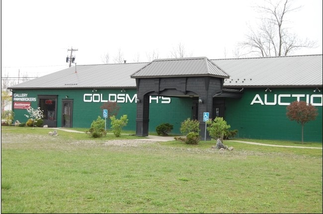
Property Record
Fisk Rd, Lockport, NY 14094
NEARBY LISTINGS FOR SALE OR LEASE
Property Detail
Fisk Rd
293200-137-000-0002-034-000
Holland Purchase
Residentialacreage
Niagara
X
New York
36063C0377E
34.000
2020
1.10 AC
2024
Outlying Niagara County
023901
Buffalo/Niagara Falls
7,000 SF
Buffalo-Cheektowaga-Niagara Falls, NY
DEMOGRAPHICS near Fisk Rd
1 Mile
3 Mile
5 Mile
2024 Total Population
2,319
16,381
48,613
2029 Population
2,295
16,270
47,999
Pop Growth 2024-2029
(1.03%)
(0.68%)
(1.26%)
Average Age
41
42
42
2024 Total Households
991
7,050
20,878
HH Growth 2024-2029
(1.01%)
(0.67%)
(1.30%)
Median Household Inc
$71,639
$69,633
$67,424
Avg Household Size
2.30
2.30
2.30
2024 Avg HH Vehicles
2.00
2.00
2.00
Median Home Value
$88,008
$176,220
$174,754
Median Year Built
1994
1984
1972
Nearby Places
Map Layers
Map Styles
 Street
 Aerial
- Restaurants
- Banks
- Shops
- Fitness
- Groceries
PUBLIC TRANSPORTATION
AIRPORT
Buffalo Niagara International
DRIVE
WALK
Distance
Buffalo Niagara International
20 min
13.4 mi
Niagara Falls International
DRIVE
WALK
Distance
Niagara Falls International
25 min
15.4 mi
Freight Ports
Albany, NY Port
DRIVE
WALK
Distance
Albany, NY Port
339 min
289.6 mi
SALE & LEASE HISTORY
LISTING DATE
SALE/LEASE

Sep 23, 2016
For Sale
Nearby Properties
Address
Land Use
TOTAL SIZE
Lot Size
Zoning
Address
Land Use
TOTAL SIZE
Lot Size
Zoning
198.40 AC
Address
Land Use
TOTAL SIZE
Lot Size
Zoning
90,347 SF
18.67 AC
B-2
Address
Land Use
TOTAL SIZE
Lot Size
Zoning
65,184 SF
100.76 AC
B-2
Address
Land Use
TOTAL SIZE
Lot Size
Zoning
259,393 SF
33.74 AC
RA
Address
Land Use
TOTAL SIZE
Lot Size
Zoning
516 SF
53.70 AC
Address
Land Use
TOTAL SIZE
Lot Size
Zoning
4,417 SF
61.30 AC
Address
Land Use
TOTAL SIZE
Lot Size
Zoning
206,149 SF
17.86 AC
B-2
Address
Land Use
TOTAL SIZE
Lot Size
Zoning
8,604 SF
15 AC
R-2
Address
Land Use
TOTAL SIZE
Lot Size
Zoning
13,828 SF
48.06 AC
I3
Address
Land Use
TOTAL SIZE
Lot Size
Zoning
130,160 SF
13 AC
B-2
Address
Land Use
TOTAL SIZE
Lot Size
Zoning
280 SF
31 AC
Address
Land Use
TOTAL SIZE
Lot Size
Zoning
130,946 SF
11.10 AC
B-2
Address
Land Use
TOTAL SIZE
Lot Size
Zoning
115,228 SF
10.90 AC
Address
Land Use
TOTAL SIZE
Lot Size
Zoning
140,048 SF
13.60 AC
B-2
Address
Land Use
TOTAL SIZE
Lot Size
Zoning
792 SF
20.30 AC
Address
Land Use
TOTAL SIZE
Lot Size
Zoning
51,125 SF
12.20 AC
Address
Land Use
TOTAL SIZE
Lot Size
Zoning
27.12 AC
Address
Land Use
TOTAL SIZE
Lot Size
Zoning
23,904 SF
2 AC
Address
Land Use
TOTAL SIZE
Lot Size
Zoning
14,832 SF
1.64 AC
B2
Address
Land Use
TOTAL SIZE
Lot Size
Zoning
52,000 SF
30.40 AC
R-1
Address
Land Use
TOTAL SIZE
Lot Size
Zoning
81,875 SF
8.67 AC
RA
Address
Land Use
TOTAL SIZE
Lot Size
Zoning
66,581 SF
5.86 AC
B2
Address
Land Use
TOTAL SIZE
Lot Size
Zoning
56,476 SF
6.35 AC
B-2
Address
Land Use
TOTAL SIZE
Lot Size
Zoning
21,216 SF
3.90 AC
Address
Land Use
TOTAL SIZE
Lot Size
Zoning
4,736 SF
8.90 AC
Address
Land Use
TOTAL SIZE
Lot Size
Zoning
40,871 SF
27.20 AC
Address
Land Use
TOTAL SIZE
Lot Size
Zoning
81,431 SF
7.88 AC
B-2
Address
Land Use
TOTAL SIZE
Lot Size
Zoning
72.75 AC
R-1
Address
Land Use
TOTAL SIZE
Lot Size
Zoning
36,725 SF
7 AC
B-2
Address
Land Use
TOTAL SIZE
Lot Size
Zoning
45,930 SF
17 AC
The World's #1 Commercial Real Estate Marketplace
Connect with us
© 2025 CoStar Group
The information above has been obtained from sources believed reliable. While we do not doubt its accuracy we have not verified it and make no guarantee, warranty or representation about it. It is your responsibility to independently confirm its accuracy and completeness. Any projections, opinions, assumptions, or estimates used are for example only and do not represent the current or future performance of the property. The value of this transaction to you depends on tax and other factors which should be evaluated by your tax, financial, and legal advisors. You and your advisors should conduct a careful, independent investigation of the property to determine to your satisfaction the suitability of the property for your needs.