Property Record
10 Eagle Dr, Auburn, NY 13021

Save to a Folder
{{folder.Name}}
{{folder.ListingIds.length}} Properties
{{folder.ListingIds.length}} Property
Create a New Folder
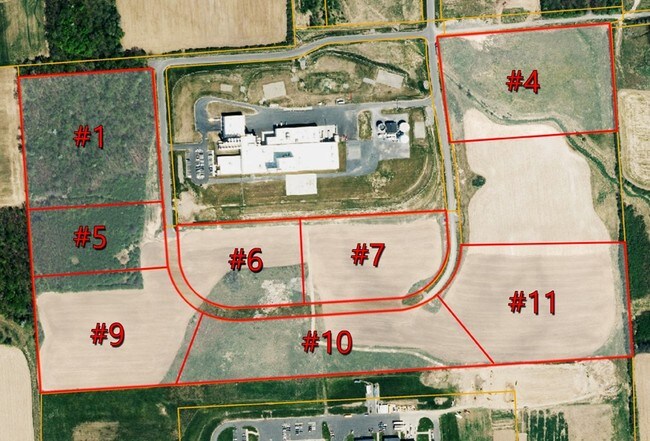
Property Detail
10 Eagle Dr
052089-114-000-0003-010-000-0000
CAYUGA
Industrialacreage
New York
A
10.000
B and X Area of moderate flood hazard, usually the area between the limits of the 100-year and 500-year floods.
9.85 AC
2025
Syracuse Surrounding
2025
Other Market Areas
041202
Auburn, NY
NEARBY LISTINGS FOR SALE OR LEASE
-
-
View all Auburn listings for lease on LoopNet.com
DEMOGRAPHICS near 10 Eagle Dr
1 mile
3 mile
5 mile
2025 Total Population
402
16,141
33,090
2030 Population
393
15,708
32,235
Pop Growth 2025-2030
(2.24%)
(2.68%)
(2.58%)
Average Age
46
42
43
2025 Total Households
172
6,680
14,178
HH Growth 2025-2030
(2.33%)
(2.84%)
(2.80%)
Median Household Inc
$80,147
$47,224
$56,989
Avg Household Size
2.20
2.10
2.10
2025 Avg HH Vehicles
2.00
1.00
2.00
Median Home Value
$147,794
$137,203
$160,928
Median Year Built
1966
1949
1949
Nearby Places
Map Layers
Map Styles
 Street
 Aerial
Layers
 Traffic
 Biking
Places
Listings with unknown addresses are not visible on the map
- Restaurants
- Banks
- Shops
- Fitness
- Groceries
PUBLIC TRANSPORTATION
AIRPORT
Syracuse Hancock International
Drive
Walk
Distance
Syracuse Hancock International
53 min
36.3 mi
Freight Ports
Albany, NY Port
Drive
Walk
Distance
Albany, NY Port
215 min
177.6 mi
SALE & LEASE HISTORY
LISTING DATE
SALE/LEASE

Sep 25, 2016
For Lease
Sep 24, 2016
For Sale
Nearby Properties
Address
Land Use
TOTAL SIZE
Lot Size
Zoning
Address
Land Use
TOTAL SIZE
Lot Size
Zoning
7.46 AC
A
Address
Land Use
TOTAL SIZE
Lot Size
Zoning
6,085 SF
23 AC
CC
Address
Land Use
TOTAL SIZE
Lot Size
Zoning
200,000 SF
43.73 AC
AR
Address
Land Use
TOTAL SIZE
Lot Size
Zoning
17.41 AC
A
Address
Land Use
TOTAL SIZE
Lot Size
Zoning
225,619 SF
6.90 AC
C
Address
Land Use
TOTAL SIZE
Lot Size
Zoning
3,360 SF
29.33 AC
I1
Address
Land Use
TOTAL SIZE
Lot Size
Zoning
Address
Land Use
TOTAL SIZE
Lot Size
Zoning
113,316 SF
4.60 AC
R2
Address
Land Use
TOTAL SIZE
Lot Size
Zoning
100,000 SF
24.11 AC
C
Address
Land Use
TOTAL SIZE
Lot Size
Zoning
444,450 SF
30.70 AC
I1
Address
Land Use
TOTAL SIZE
Lot Size
Zoning
1,966 SF
20 AC
R2
Address
Land Use
TOTAL SIZE
Lot Size
Zoning
49,057 SF
9.89 AC
C
Address
Land Use
TOTAL SIZE
Lot Size
Zoning
88,967 SF
1.62 AC
D
Address
Land Use
TOTAL SIZE
Lot Size
Zoning
1,520 SF
14.50 AC
R2
Address
Land Use
TOTAL SIZE
Lot Size
Zoning
72,267 SF
2.75 AC
D
Address
Land Use
TOTAL SIZE
Lot Size
Zoning
3,920 SF
7.30 AC
R2
Address
Land Use
TOTAL SIZE
Lot Size
Zoning
117,877 SF
5.08 AC
D
Address
Land Use
TOTAL SIZE
Lot Size
Zoning
120,933 SF
1.47 AC
D
Address
Land Use
TOTAL SIZE
Lot Size
Zoning
1,015 SF
1.20 AC
C
Address
Land Use
TOTAL SIZE
Lot Size
Zoning
101,680 SF
4.40 AC
D
Address
Land Use
TOTAL SIZE
Lot Size
Zoning
132,874 SF
37.95 AC
C
Address
Land Use
TOTAL SIZE
Lot Size
Zoning
74,514 SF
57.60 AC
R1
Address
Land Use
TOTAL SIZE
Lot Size
Zoning
309,234 SF
24.50 AC
I
Address
Land Use
TOTAL SIZE
Lot Size
Zoning
18,000 SF
2.20 AC
D
Address
Land Use
TOTAL SIZE
Lot Size
Zoning
39,802 SF
23.70 AC
I
Address
Land Use
TOTAL SIZE
Lot Size
Zoning
3,561 SF
9.03 AC
R2
Address
Land Use
TOTAL SIZE
Lot Size
Zoning
4,050 SF
94.50 AC
I2
Address
Land Use
TOTAL SIZE
Lot Size
Zoning
5,904 SF
5.39 AC
R2
Address
Land Use
TOTAL SIZE
Lot Size
Zoning
85,584 SF
1.97 AC
D
Address
Land Use
TOTAL SIZE
Lot Size
Zoning
6,670 SF
0.97 AC
D
The World's #1 Commercial Real Estate Marketplace
Connect with us
© 2026 CoStar Group
The information above has been obtained from sources believed reliable. While we do not doubt its accuracy we have not verified it and make no guarantee, warranty or representation about it. It is your responsibility to independently confirm its accuracy and completeness. Any projections, opinions, assumptions, or estimates used are for example only and do not represent the current or future performance of the property. The value of this transaction to you depends on tax and other factors which should be evaluated by your tax, financial, and legal advisors. You and your advisors should conduct a careful, independent investigation of the property to determine to your satisfaction the suitability of the property for your needs.