Property Record
1010 E Green Meadows Rd, Columbia, MO 65201
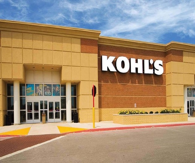

Property Detail
1010 E Green Meadows Rd
Columbia, MO
RED OAK SUBDIVISION ADMIN PLAT LOT 1 N PT LOT 1A
16-912-00-10-001-01-01
Boone
Departmentstore
Missouri
B and X Area of moderate flood hazard, usually the area between the limits of the 100-year and 500-year floods.
1
2025
9.40 AC
2025
Columbia/Jefferson City
001105
Other Market Areas
96,322 SF
NEARBY LISTINGS FOR SALE OR LEASE
DEMOGRAPHICS near 1010 E Green Meadows Rd
1 mile
3 mile
5 mile
2025 Total Population
7,197
56,759
117,365
2030 Population
7,433
58,575
121,835
Pop Growth 2025-2030
+ 3.28%
+ 3.20%
+ 3.81%
Average Age
32
33
36
2025 Total Households
3,673
22,099
47,800
HH Growth 2025-2030
+ 3.40%
+ 3.53%
+ 4.11%
Median Household Inc
$49,938
$52,946
$63,027
Avg Household Size
1.90
2.10
2.20
2025 Avg HH Vehicles
2.00
2.00
2.00
Median Home Value
$221,597
$329,502
$311,534
Median Year Built
1993
1992
1990
Nearby Places
Map Layers
Map Styles
 Street
 Aerial
Layers
 Traffic
 Biking
Places
Listings with unknown addresses are not visible on the map
- Restaurants
- Banks
- Shops
- Fitness
- Groceries
PUBLIC TRANSPORTATION
AIRPORT
Columbia Regional
Drive
Walk
Distance
Columbia Regional
15 min
11.0 mi
Freight Ports
Tulsa Port of Inola
Drive
Walk
Distance
Tulsa Port of Inola
376 min
333.7 mi
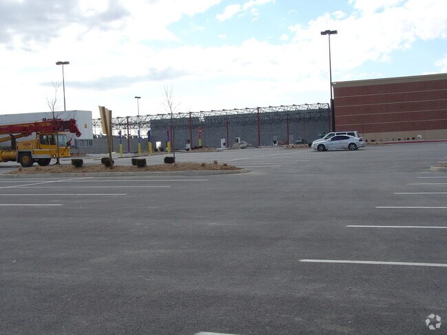
Nearby Properties
Address
Land Use
TOTAL SIZE
Lot Size
Zoning
Address
Land Use
TOTAL SIZE
Lot Size
Zoning
373,370 SF
77.30 AC
O1
Address
Land Use
TOTAL SIZE
Lot Size
Zoning
149,686 SF
15.26 AC
MC
Address
Land Use
TOTAL SIZE
Lot Size
Zoning
6,390 SF
28.23 AC
Address
Land Use
TOTAL SIZE
Lot Size
Zoning
40,016 SF
2.13 AC
O1
Address
Land Use
TOTAL SIZE
Lot Size
Zoning
3,808 SF
0.39 AC
C2
Address
Land Use
TOTAL SIZE
Lot Size
Zoning
234,111 SF
2.27 AC
Address
Land Use
TOTAL SIZE
Lot Size
Zoning
10,459 SF
39.22 AC
RMH
Address
Land Use
TOTAL SIZE
Lot Size
Zoning
50,304 SF
8.78 AC
C1
Address
Land Use
TOTAL SIZE
Lot Size
Zoning
11,760 SF
22.98 AC
Address
Land Use
TOTAL SIZE
Lot Size
Zoning
159,169 SF
1.26 AC
R3
Address
Land Use
TOTAL SIZE
Lot Size
Zoning
52,568 SF
9.50 AC
Address
Land Use
TOTAL SIZE
Lot Size
Zoning
134,625 SF
0.79 AC
C2
Address
Land Use
TOTAL SIZE
Lot Size
Zoning
45,750 SF
0.66 AC
R3
Address
Land Use
TOTAL SIZE
Lot Size
Zoning
70,930 SF
9.66 AC
Address
Land Use
TOTAL SIZE
Lot Size
Zoning
38,500 SF
3.10 AC
O1
Address
Land Use
TOTAL SIZE
Lot Size
Zoning
97,092 SF
1.56 AC
Address
Land Use
TOTAL SIZE
Lot Size
Zoning
185,585 SF
18.57 AC
Address
Land Use
TOTAL SIZE
Lot Size
Zoning
24,624 SF
21.42 AC
Address
Land Use
TOTAL SIZE
Lot Size
Zoning
136,448 SF
0.78 AC
C2
Address
Land Use
TOTAL SIZE
Lot Size
Zoning
3,420 SF
18.60 AC
R3
Address
Land Use
TOTAL SIZE
Lot Size
Zoning
8,678 SF
23.15 AC
R3
Address
Land Use
TOTAL SIZE
Lot Size
Zoning
264,960 SF
40.01 AC
R1
Address
Land Use
TOTAL SIZE
Lot Size
Zoning
148,500 SF
22.62 AC
R3
Address
Land Use
TOTAL SIZE
Lot Size
Zoning
68,408 SF
4.38 AC
O1
Address
Land Use
TOTAL SIZE
Lot Size
Zoning
119,520 SF
12.56 AC
Address
Land Use
TOTAL SIZE
Lot Size
Zoning
17,589 SF
0.52 AC
C2
Address
Land Use
TOTAL SIZE
Lot Size
Zoning
34,357 SF
15.59 AC
Address
Land Use
TOTAL SIZE
Lot Size
Zoning
34,707 SF
0.41 AC
R3
Address
Land Use
TOTAL SIZE
Lot Size
Zoning
93,320 SF
0.50 AC
C2
Address
Land Use
TOTAL SIZE
Lot Size
Zoning
119,988 SF
8.87 AC
The World's #1 Commercial Real Estate Marketplace
Connect with us
© 2026 CoStar Group
The information above has been obtained from sources believed reliable. While we do not doubt its accuracy we have not verified it and make no guarantee, warranty or representation about it. It is your responsibility to independently confirm its accuracy and completeness. Any projections, opinions, assumptions, or estimates used are for example only and do not represent the current or future performance of the property. The value of this transaction to you depends on tax and other factors which should be evaluated by your tax, financial, and legal advisors. You and your advisors should conduct a careful, independent investigation of the property to determine to your satisfaction the suitability of the property for your needs.