Property Record
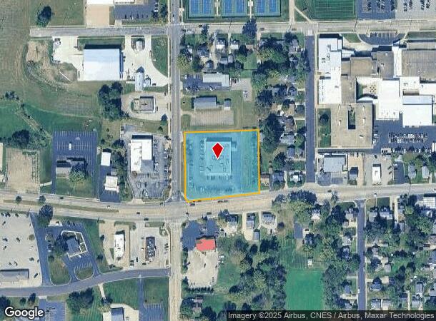
1011 Peoria St, Washington, IL 61571


NEARBY LISTINGS FOR SALE OR LEASE
Property Detail
1011 Peoria St
Peoria, IL
Hess Subd
02-02-23-102-036
SEC 23 T26N R3W HESS SUBD SOUTHERLY 70 OF LOT 8, LOTS 7, 6, 5 & 4 (EXC STATE) & S 282.46 OF SUBLOT 22A (EXC STATE) NW 1/4
Storebuilding
Tazewell
X
Illinois
17179C0060E
22a,8
2023
2.93 AC
2024
Outlying Tazewell County
022300
Peoria
13,608 SF
DEMOGRAPHICS near 1011 Peoria St
1 Mile
3 Mile
5 Mile
2024 Total Population
6,887
16,200
28,157
2029 Population
6,742
15,847
27,616
Pop Growth 2024-2029
(2.11%)
(2.18%)
(1.92%)
Average Age
39
40
40
2024 Total Households
2,637
6,242
11,053
HH Growth 2024-2029
(2.16%)
(2.24%)
(1.99%)
Median Household Inc
$82,049
$81,851
$79,859
Avg Household Size
2.60
2.60
2.50
2024 Avg HH Vehicles
2.00
2.00
2.00
Median Home Value
$215,037
$214,297
$189,665
Median Year Built
1969
1975
1972
Nearby Places
Map Layers
Map Styles
 Street
 Aerial
- Restaurants
- Banks
- Shops
- Fitness
- Groceries
PUBLIC TRANSPORTATION
AIRPORT
General Downing - Peoria International
DRIVE
WALK
Distance
General Downing - Peoria International
30 min
16.7 mi
Freight Ports
Port Milwaukee
DRIVE
WALK
Distance
Port Milwaukee
255 min
220.7 mi
Nearby Properties
Address
Land Use
TOTAL SIZE
Lot Size
Zoning
Address
Land Use
TOTAL SIZE
Lot Size
Zoning
185,656 SF
33.63 AC
Address
Land Use
TOTAL SIZE
Lot Size
Zoning
24,780 SF
1.62 AC
Address
Land Use
TOTAL SIZE
Lot Size
Zoning
165,485 SF
15.75 AC
Address
Land Use
TOTAL SIZE
Lot Size
Zoning
35,716 SF
4 AC
Address
Land Use
TOTAL SIZE
Lot Size
Zoning
7,615 SF
3.19 AC
Address
Land Use
TOTAL SIZE
Lot Size
Zoning
24,800 SF
3.20 AC
Address
Land Use
TOTAL SIZE
Lot Size
Zoning
21,948 SF
4.65 AC
Address
Land Use
TOTAL SIZE
Lot Size
Zoning
122,215 SF
3.36 AC
Address
Land Use
TOTAL SIZE
Lot Size
Zoning
24,800 SF
2.92 AC
Address
Land Use
TOTAL SIZE
Lot Size
Zoning
16,371 SF
2.53 AC
Address
Land Use
TOTAL SIZE
Lot Size
Zoning
101,625 SF
10.62 AC
Address
Land Use
TOTAL SIZE
Lot Size
Zoning
50,781 SF
5.10 AC
Address
Land Use
TOTAL SIZE
Lot Size
Zoning
28,646 SF
2.89 AC
Address
Land Use
TOTAL SIZE
Lot Size
Zoning
14,000 SF
1.37 AC
Address
Land Use
TOTAL SIZE
Lot Size
Zoning
52,500 SF
1.21 AC
Address
Land Use
TOTAL SIZE
Lot Size
Zoning
50,840 SF
9.67 AC
Address
Land Use
TOTAL SIZE
Lot Size
Zoning
107,010 SF
1.72 AC
Address
Land Use
TOTAL SIZE
Lot Size
Zoning
2,906 SF
55.85 AC
Address
Land Use
TOTAL SIZE
Lot Size
Zoning
85,761 SF
5.84 AC
Address
Land Use
TOTAL SIZE
Lot Size
Zoning
16,656 SF
5.23 AC
Address
Land Use
TOTAL SIZE
Lot Size
Zoning
11,118 SF
1.75 AC
Address
Land Use
TOTAL SIZE
Lot Size
Zoning
20,253 SF
1.24 AC
Address
Land Use
TOTAL SIZE
Lot Size
Zoning
20,253 SF
2.48 AC
Address
Land Use
TOTAL SIZE
Lot Size
Zoning
27,864 SF
2.38 AC
Address
Land Use
TOTAL SIZE
Lot Size
Zoning
20,253 SF
1.24 AC
Address
Land Use
TOTAL SIZE
Lot Size
Zoning
19.35 AC
Address
Land Use
TOTAL SIZE
Lot Size
Zoning
33,120 SF
2.15 AC
Address
Land Use
TOTAL SIZE
Lot Size
Zoning
6,704 SF
4 AC
Address
Land Use
TOTAL SIZE
Lot Size
Zoning
12,432 SF
5 AC
The World's #1 Commercial Real Estate Marketplace
Connect with us
© 2025 CoStar Group
The information above has been obtained from sources believed reliable. While we do not doubt its accuracy we have not verified it and make no guarantee, warranty or representation about it. It is your responsibility to independently confirm its accuracy and completeness. Any projections, opinions, assumptions, or estimates used are for example only and do not represent the current or future performance of the property. The value of this transaction to you depends on tax and other factors which should be evaluated by your tax, financial, and legal advisors. You and your advisors should conduct a careful, independent investigation of the property to determine to your satisfaction the suitability of the property for your needs.