Property Record
10151 E Jewell Ave, Aurora, CO 80247


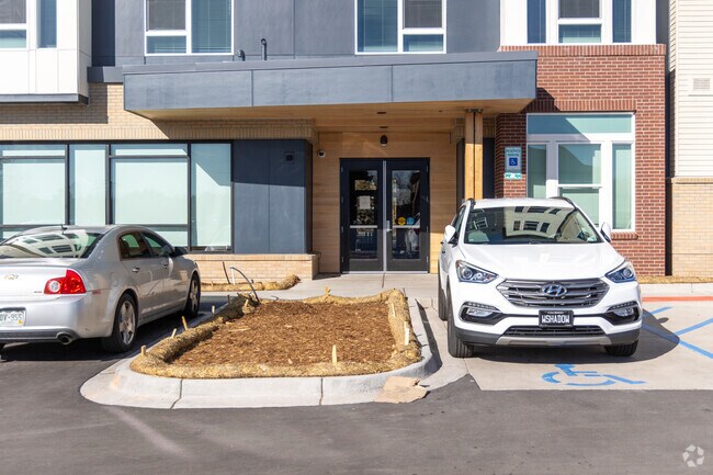
Property Detail
10151 E Jewell Ave
Denver-Aurora-Centennial, CO
LOT 1 BLK 1 COLORADO JEWELL RESIDENCES SUB FLG NO 1 EX RDS
1973-22-4-42-001
ARAPAHOE
Apartment
Colorado
2024
1
2025
Cherry Creek South
087100
Denver
87,207 SF
NEARBY LISTINGS FOR SALE OR LEASE
DEMOGRAPHICS near 10151 E Jewell Ave
1 mile
3 mile
5 mile
2025 Total Population
27,493
187,619
477,494
2030 Population
28,404
191,660
488,008
Pop Growth 2025-2030
+ 3.31%
+ 2.15%
+ 2.20%
Average Age
38
40
39
2025 Total Households
12,255
82,839
202,032
HH Growth 2025-2030
+ 3.37%
+ 2.20%
+ 2.36%
Median Household Inc
$77,805
$73,174
$80,790
Avg Household Size
2.20
2.20
2.30
2025 Avg HH Vehicles
1.00
2.00
2.00
Median Home Value
$485,730
$456,497
$522,798
Median Year Built
1989
1979
1979
Nearby Places
Map Layers
Map Styles
 Street
 Aerial
Layers
 Traffic
 Biking
Places
Listings with unknown addresses are not visible on the map
- Restaurants
- Banks
- Shops
- Fitness
- Groceries
PUBLIC TRANSPORTATION
COMMUTER RAIL
Drive
Walk
Distance
16 min
7.6 mi
Drive
Walk
Distance
15 min
7.8 mi
AIRPORT
Denver International
Drive
Walk
Distance
Denver International
30 min
21.8 mi
Nearby Properties
Address
Land Use
TOTAL SIZE
Lot Size
Zoning
Address
Land Use
TOTAL SIZE
Lot Size
Zoning
551,531 SF
5.09 AC
C-MX
Address
Land Use
TOTAL SIZE
Lot Size
Zoning
163,033 SF
5.94 AC
PUD
Address
Land Use
TOTAL SIZE
Lot Size
Zoning
496,493 SF
33.45 AC
Address
Land Use
TOTAL SIZE
Lot Size
Zoning
201,600 SF
44.67 AC
R1
Address
Land Use
TOTAL SIZE
Lot Size
Zoning
476,186 SF
42.62 AC
Address
Land Use
TOTAL SIZE
Lot Size
Zoning
70,296 SF
4.96 AC
Address
Land Use
TOTAL SIZE
Lot Size
Zoning
74,888 SF
4.35 AC
AMU
Address
Land Use
TOTAL SIZE
Lot Size
Zoning
557,843 SF
21.35 AC
PUD
Address
Land Use
TOTAL SIZE
Lot Size
Zoning
83,951 SF
0.30 AC
R2
Address
Land Use
TOTAL SIZE
Lot Size
Zoning
50,106 SF
1.67 AC
RB1
Address
Land Use
TOTAL SIZE
Lot Size
Zoning
231,867 SF
19.33 AC
S-MX-3A
Address
Land Use
TOTAL SIZE
Lot Size
Zoning
613,600 SF
29.40 AC
R-3
Address
Land Use
TOTAL SIZE
Lot Size
Zoning
112,322 SF
10.26 AC
S-CC-3
Address
Land Use
TOTAL SIZE
Lot Size
Zoning
380,376 SF
24.52 AC
E-SU-DX
Address
Land Use
TOTAL SIZE
Lot Size
Zoning
130,531 SF
3.41 AC
Address
Land Use
TOTAL SIZE
Lot Size
Zoning
478,994 SF
26.07 AC
Address
Land Use
TOTAL SIZE
Lot Size
Zoning
48,961 SF
4.15 AC
Address
Land Use
TOTAL SIZE
Lot Size
Zoning
205,250 SF
10 AC
I-A
Address
Land Use
TOTAL SIZE
Lot Size
Zoning
154,808 SF
16.71 AC
S-SU-D
Address
Land Use
TOTAL SIZE
Lot Size
Zoning
138,750 SF
12.17 AC
OS-A
Address
Land Use
TOTAL SIZE
Lot Size
Zoning
540,380 SF
26.03 AC
RR3
Address
Land Use
TOTAL SIZE
Lot Size
Zoning
384,886 SF
18.66 AC
R-2-A
Address
Land Use
TOTAL SIZE
Lot Size
Zoning
49,627 SF
4.18 AC
B-2
Address
Land Use
TOTAL SIZE
Lot Size
Zoning
209,690 SF
7.21 AC
S-SU-D
Address
Land Use
TOTAL SIZE
Lot Size
Zoning
383,436 SF
9.77 AC
Address
Land Use
TOTAL SIZE
Lot Size
Zoning
368,676 SF
17.71 AC
R-2-A
Address
Land Use
TOTAL SIZE
Lot Size
Zoning
122,765 SF
14.19 AC
B-3
Address
Land Use
TOTAL SIZE
Lot Size
Zoning
78,876 SF
0.05 AC
C-MX
Address
Land Use
TOTAL SIZE
Lot Size
Zoning
521,364 SF
14.88 AC
PUD
The World's #1 Commercial Real Estate Marketplace
Connect with us
© 2026 CoStar Group
The information above has been obtained from sources believed reliable. While we do not doubt its accuracy we have not verified it and make no guarantee, warranty or representation about it. It is your responsibility to independently confirm its accuracy and completeness. Any projections, opinions, assumptions, or estimates used are for example only and do not represent the current or future performance of the property. The value of this transaction to you depends on tax and other factors which should be evaluated by your tax, financial, and legal advisors. You and your advisors should conduct a careful, independent investigation of the property to determine to your satisfaction the suitability of the property for your needs.