Property Record
1040 Saltillo Rd, Roca, NE 68430
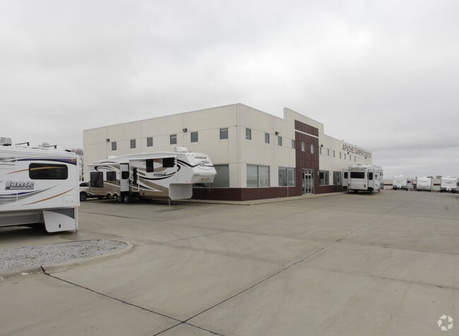

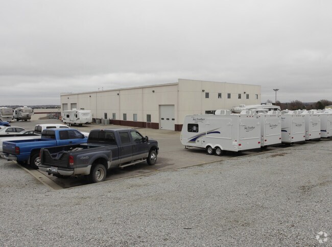
Property Detail
1040 Saltillo Rd
09-35-400-030-002
PARK VISTA COMMERCE CENTER CONDOMINIUM, AMENDED, REM PORT UNIT 2 (5.88% ALLOCATED INT)
Commercialnec
Lancaster
H3
Nebraska
B and X Area of moderate flood hazard, usually the area between the limits of the 100-year and 500-year floods.
2.93 AC
2024
South Lancaster County
2025
Lincoln
003604
Lincoln, NE
11,186 SF
NEARBY LISTINGS FOR SALE OR LEASE
DEMOGRAPHICS near 1040 Saltillo Rd
1 mile
3 mile
5 mile
2025 Total Population
78
12,491
50,821
2030 Population
79
13,041
52,826
Pop Growth 2025-2030
+ 1.28%
+ 4.40%
+ 3.95%
Average Age
44
38
40
2025 Total Households
30
4,900
20,127
HH Growth 2025-2030
+ 3.33%
+ 4.57%
+ 4.12%
Median Household Inc
$104,167
$110,139
$102,395
Avg Household Size
2.50
2.50
2.50
2025 Avg HH Vehicles
3.00
2.00
2.00
Median Home Value
$483,333
$418,616
$362,983
Median Year Built
1984
2007
1997
Nearby Places
Map Layers
Map Styles
 Street
 Aerial
Transit
 Traffic
 Biking
Places
Listings with unknown addresses are not visible on the map
- Restaurants
- Banks
- Shops
- Fitness
- Groceries
PUBLIC TRANSPORTATION
COMMUTER RAIL
Lincoln Amtrak Station (California Zephyr - Amtrak)
Drive
Walk
Distance
Lincoln Amtrak Station (California Zephyr - Amtrak)
17 min
9.3 mi
AIRPORT
Lincoln
Drive
Walk
Distance
Lincoln
22 min
15.2 mi
Freight Ports
Tulsa Port Of Catoosa
Drive
Walk
Distance
Tulsa Port Of Catoosa
460 min
389.2 mi
Nearby Properties
Address
Land Use
TOTAL SIZE
Lot Size
Zoning
Address
Land Use
TOTAL SIZE
Lot Size
Zoning
48,378 SF
9.53 AC
R5
Address
Land Use
TOTAL SIZE
Lot Size
Zoning
75,371 SF
12.46 AC
R3
Address
Land Use
TOTAL SIZE
Lot Size
Zoning
126,172 SF
5.46 AC
B2
Address
Land Use
TOTAL SIZE
Lot Size
Zoning
172,989 SF
6.16 AC
Address
Land Use
TOTAL SIZE
Lot Size
Zoning
35,972 SF
10.13 AC
O3
Address
Land Use
TOTAL SIZE
Lot Size
Zoning
44,957 SF
7.93 AC
R4
Address
Land Use
TOTAL SIZE
Lot Size
Zoning
169,890 SF
3.05 AC
O3
Address
Land Use
TOTAL SIZE
Lot Size
Zoning
81,149 SF
6.46 AC
R5
Address
Land Use
TOTAL SIZE
Lot Size
Zoning
14,637 SF
18.90 AC
NULL
Address
Land Use
TOTAL SIZE
Lot Size
Zoning
129,038 SF
17.43 AC
O3
Address
Land Use
TOTAL SIZE
Lot Size
Zoning
176,976 SF
13.94 AC
B2
Address
Land Use
TOTAL SIZE
Lot Size
Zoning
129,038 SF
17.43 AC
O3
Address
Land Use
TOTAL SIZE
Lot Size
Zoning
81,110 SF
11.98 AC
H4
Address
Land Use
TOTAL SIZE
Lot Size
Zoning
120,147 SF
13.01 AC
R3
Address
Land Use
TOTAL SIZE
Lot Size
Zoning
25,335 SF
2.59 AC
R3
Address
Land Use
TOTAL SIZE
Lot Size
Zoning
154,330 SF
17.78 AC
Address
Land Use
TOTAL SIZE
Lot Size
Zoning
52,897 SF
1.51 AC
B2
Address
Land Use
TOTAL SIZE
Lot Size
Zoning
212,689 SF
9.72 AC
H4
Address
Land Use
TOTAL SIZE
Lot Size
Zoning
25,335 SF
2.98 AC
R3
Address
Land Use
TOTAL SIZE
Lot Size
Zoning
32,083 SF
19.72 AC
R4
Address
Land Use
TOTAL SIZE
Lot Size
Zoning
31,315 SF
1.09 AC
R3
Address
Land Use
TOTAL SIZE
Lot Size
Zoning
32,976 SF
10.47 AC
R3
Address
Land Use
TOTAL SIZE
Lot Size
Zoning
63,813 SF
6.78 AC
H4
Address
Land Use
TOTAL SIZE
Lot Size
Zoning
23,081 SF
2.05 AC
B2
Address
Land Use
TOTAL SIZE
Lot Size
Zoning
9,324 SF
6.34 AC
R4
Address
Land Use
TOTAL SIZE
Lot Size
Zoning
22,312 SF
0.91 AC
R3
Address
Land Use
TOTAL SIZE
Lot Size
Zoning
20,200 SF
15.88 AC
R3
Address
Land Use
TOTAL SIZE
Lot Size
Zoning
100,676 SF
10.26 AC
B2
Address
Land Use
TOTAL SIZE
Lot Size
Zoning
24,336 SF
0.91 AC
NULL
The World's #1 Commercial Real Estate Marketplace
Connect with us
© 2026 CoStar Group
The information above has been obtained from sources believed reliable. While we do not doubt its accuracy we have not verified it and make no guarantee, warranty or representation about it. It is your responsibility to independently confirm its accuracy and completeness. Any projections, opinions, assumptions, or estimates used are for example only and do not represent the current or future performance of the property. The value of this transaction to you depends on tax and other factors which should be evaluated by your tax, financial, and legal advisors. You and your advisors should conduct a careful, independent investigation of the property to determine to your satisfaction the suitability of the property for your needs.