Property Record
110 Eastgate Dr, East Peoria, IL 61611

NEARBY LISTINGS FOR SALE OR LEASE
-
-
View all East Peoria listings for sale on LoopNet.com
Property Detail
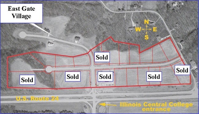
110 Eastgate Dr
Peoria, IL
Eastgate Sub
01-01-13-201-026
SEC 13 T26N R4W EASTGATE SUB FINAL PLAT LOT 12-A NE 1/4 PB GGG 13
Officebuilding
Tazewell
X
Illinois
17179C0035E
12-a
2023
0.77 AC
2024
Outlying Tazewell County
021202
Peoria
6,000 SF
DEMOGRAPHICS near 110 Eastgate Dr
1 Mile
3 Mile
5 Mile
2024 Total Population
554
17,686
71,871
2029 Population
554
17,513
70,940
Pop Growth 2024-2029
0.00%
(0.98%)
(1.30%)
Average Age
41
42
40
2024 Total Households
215
7,347
29,652
HH Growth 2024-2029
0.00%
(1.09%)
(1.44%)
Median Household Inc
$84,375
$67,018
$60,254
Avg Household Size
2.50
2.40
2.30
2024 Avg HH Vehicles
2.00
2.00
2.00
Median Home Value
$215,714
$156,560
$152,387
Median Year Built
1994
1971
1961
Nearby Places
Map Layers
Map Styles
 Street
 Aerial
- Restaurants
- Banks
- Shops
- Fitness
- Groceries
PUBLIC TRANSPORTATION
AIRPORT
General Downing - Peoria International
DRIVE
WALK
Distance
General Downing - Peoria International
23 min
12.4 mi
Freight Ports
Port Milwaukee
DRIVE
WALK
Distance
Port Milwaukee
260 min
224.8 mi
SALE & LEASE HISTORY
LISTING DATE
SALE/LEASE

Sep 24, 2016
For Sale
Nearby Properties
Address
Land Use
TOTAL SIZE
Lot Size
Zoning
Address
Land Use
TOTAL SIZE
Lot Size
Zoning
322,258 SF
1,319.75 AC
Address
Land Use
TOTAL SIZE
Lot Size
Zoning
185,656 SF
33.63 AC
Address
Land Use
TOTAL SIZE
Lot Size
Zoning
80,102 SF
2 AC
Address
Land Use
TOTAL SIZE
Lot Size
Zoning
69,113 SF
9.83 AC
Address
Land Use
TOTAL SIZE
Lot Size
Zoning
283,737 SF
23.37 AC
Address
Land Use
TOTAL SIZE
Lot Size
Zoning
165,485 SF
15.75 AC
Address
Land Use
TOTAL SIZE
Lot Size
Zoning
133,070 SF
11.11 AC
Address
Land Use
TOTAL SIZE
Lot Size
Zoning
17.42 AC
Address
Land Use
TOTAL SIZE
Lot Size
Zoning
69,777 SF
2.92 AC
Address
Land Use
TOTAL SIZE
Lot Size
Zoning
74,620 SF
6.54 AC
Address
Land Use
TOTAL SIZE
Lot Size
Zoning
114,680 SF
7.34 AC
Address
Land Use
TOTAL SIZE
Lot Size
Zoning
26.62 AC
Address
Land Use
TOTAL SIZE
Lot Size
Zoning
66,584 SF
15.23 AC
Address
Land Use
TOTAL SIZE
Lot Size
Zoning
34,243 SF
3.25 AC
Address
Land Use
TOTAL SIZE
Lot Size
Zoning
18.67 AC
Address
Land Use
TOTAL SIZE
Lot Size
Zoning
23,558 SF
1.85 AC
Address
Land Use
TOTAL SIZE
Lot Size
Zoning
40,040 SF
83.34 AC
Address
Land Use
TOTAL SIZE
Lot Size
Zoning
42,640 SF
4.48 AC
Address
Land Use
TOTAL SIZE
Lot Size
Zoning
81,674 SF
9.88 AC
Address
Land Use
TOTAL SIZE
Lot Size
Zoning
20,316 SF
3.52 AC
Address
Land Use
TOTAL SIZE
Lot Size
Zoning
41,606 SF
6.96 AC
Address
Land Use
TOTAL SIZE
Lot Size
Zoning
96,800 SF
6.64 AC
Address
Land Use
TOTAL SIZE
Lot Size
Zoning
Address
Land Use
TOTAL SIZE
Lot Size
Zoning
16,371 SF
2.53 AC
Address
Land Use
TOTAL SIZE
Lot Size
Zoning
36,214 SF
3.68 AC
Address
Land Use
TOTAL SIZE
Lot Size
Zoning
47,600 SF
2.32 AC
Address
Land Use
TOTAL SIZE
Lot Size
Zoning
Address
Land Use
TOTAL SIZE
Lot Size
Zoning
49,000 SF
4.12 AC
Address
Land Use
TOTAL SIZE
Lot Size
Zoning
3.62 AC
The World's #1 Commercial Real Estate Marketplace
Connect with us
© 2026 CoStar Group
The information above has been obtained from sources believed reliable. While we do not doubt its accuracy we have not verified it and make no guarantee, warranty or representation about it. It is your responsibility to independently confirm its accuracy and completeness. Any projections, opinions, assumptions, or estimates used are for example only and do not represent the current or future performance of the property. The value of this transaction to you depends on tax and other factors which should be evaluated by your tax, financial, and legal advisors. You and your advisors should conduct a careful, independent investigation of the property to determine to your satisfaction the suitability of the property for your needs.