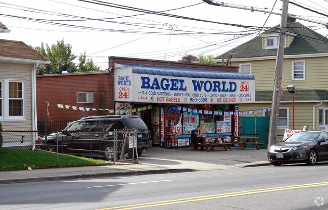
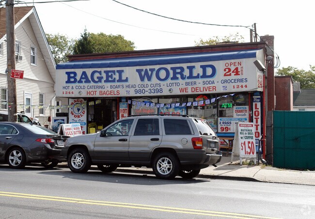
Property Record
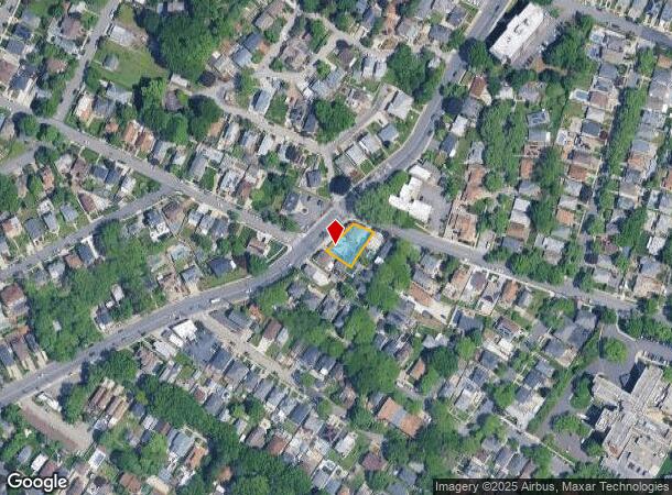
1244 Richmond Rd, Staten Island, NY 10304
NEARBY LISTINGS FOR SALE OR LEASE
Property Detail
1244 Richmond Rd
03285-0014
Staten Island
Commercialofficeresidentialmixeduse
New York
X
14
3604970327F
0.16 AC
2024
Staten Island
2025
Long Island (New York)
009601
New York-Jersey City-White Plains, NY-NJ
4,200 SF
DEMOGRAPHICS near 1244 Richmond Rd
1 Mile
3 Mile
5 Mile
2024 Total Population
33,341
228,177
577,233
2029 Population
33,104
225,852
557,648
Pop Growth 2024-2029
(0.71%)
(1.02%)
(3.39%)
Average Age
42
41
41
2024 Total Households
11,844
79,040
206,251
HH Growth 2024-2029
(0.80%)
(1.04%)
(3.59%)
Median Household Inc
$88,573
$82,228
$80,501
Avg Household Size
2.70
2.80
2.70
2024 Avg HH Vehicles
1.00
1.00
1.00
Median Home Value
$710,209
$666,758
$663,945
Median Year Built
1968
1966
1960
Nearby Places
Map Layers
Map Styles
 Street
 Aerial
- Restaurants
- Banks
- Shops
- Fitness
- Groceries
PUBLIC TRANSPORTATION
TRANSIT/SUBWAY
Old Town (Staten Island Railway - New York MTA Subway (The Subway))
DRIVE
WALK
Distance
Old Town (Staten Island Railway - New York MTA Subway (The Subway))
4 min
7 min
0.4 mi
Grasmere (Staten Island Railway - New York MTA Subway (The Subway))
DRIVE
WALK
Distance
Grasmere (Staten Island Railway - New York MTA Subway (The Subway))
2 min
15 min
0.8 mi
Dongan Hills (Staten Island Railway - New York MTA Subway (The Subway))
DRIVE
WALK
Distance
Dongan Hills (Staten Island Railway - New York MTA Subway (The Subway))
3 min
17 min
0.9 mi
COMMUTER RAIL
Old Town (Staten Island Railway - New York MTA Subway (The Subway))
DRIVE
WALK
Distance
Old Town (Staten Island Railway - New York MTA Subway (The Subway))
4 min
7 min
0.4 mi
Grasmere (Staten Island Railway - New York MTA Subway (The Subway))
DRIVE
WALK
Distance
Grasmere (Staten Island Railway - New York MTA Subway (The Subway))
2 min
17 min
0.8 mi
AIRPORT
Newark Liberty International
DRIVE
WALK
Distance
Newark Liberty International
27 min
16.2 mi
LaGuardia
DRIVE
WALK
Distance
LaGuardia
37 min
21.1 mi
John F Kennedy International
DRIVE
WALK
Distance
John F Kennedy International
40 min
23.6 mi
Freight Ports
New York Container Terminal
DRIVE
WALK
Distance
New York Container Terminal
13 min
7.0 mi
Nearby Properties
Address
Land Use
TOTAL SIZE
Lot Size
Zoning
Address
Land Use
TOTAL SIZE
Lot Size
Zoning
686,130 SF
189.62 AC
R3-2
Address
Land Use
TOTAL SIZE
Lot Size
Zoning
640,077 SF
19.34 AC
R3-1
Address
Land Use
TOTAL SIZE
Lot Size
Zoning
566,000 SF
103.31 AC
R3-2
Address
Land Use
TOTAL SIZE
Lot Size
Zoning
135,000 SF
117.71 AC
PARK
Address
Land Use
TOTAL SIZE
Lot Size
Zoning
236,591 SF
207.66 AC
R3-2
Address
Land Use
TOTAL SIZE
Lot Size
Zoning
310,560 SF
15.90 AC
C4-1
Address
Land Use
TOTAL SIZE
Lot Size
Zoning
538,240 SF
12.08 AC
R2
Address
Land Use
TOTAL SIZE
Lot Size
Zoning
494,840 SF
34.77 AC
R3-2
Address
Land Use
TOTAL SIZE
Lot Size
Zoning
521,405 SF
52.79 AC
R3-1
Address
Land Use
TOTAL SIZE
Lot Size
Zoning
421,275 SF
18.95 AC
R3-2
Address
Land Use
TOTAL SIZE
Lot Size
Zoning
111,000 SF
186.03 AC
PARK
Address
Land Use
TOTAL SIZE
Lot Size
Zoning
294,320 SF
15 AC
R3-2
Address
Land Use
TOTAL SIZE
Lot Size
Zoning
240 SF
47.41 AC
R3-2
Address
Land Use
TOTAL SIZE
Lot Size
Zoning
476,145 SF
50.97 AC
R3-1
Address
Land Use
TOTAL SIZE
Lot Size
Zoning
48,500 SF
61.98 AC
R3-2
Address
Land Use
TOTAL SIZE
Lot Size
Zoning
146,855 SF
16.50 AC
R3-1
Address
Land Use
TOTAL SIZE
Lot Size
Zoning
77,502 SF
1.29 AC
R3-1
Address
Land Use
TOTAL SIZE
Lot Size
Zoning
900 SF
50 AC
R1-1
Address
Land Use
TOTAL SIZE
Lot Size
Zoning
654,030 SF
13.94 AC
R5
Address
Land Use
TOTAL SIZE
Lot Size
Zoning
330,780 SF
676.51 AC
C4-2A
Address
Land Use
TOTAL SIZE
Lot Size
Zoning
151,637 SF
7.41 AC
C4-1
Address
Land Use
TOTAL SIZE
Lot Size
Zoning
45,570 SF
206.38 AC
PARKUS
Address
Land Use
TOTAL SIZE
Lot Size
Zoning
7,410 SF
44.60 AC
R1-1
Address
Land Use
TOTAL SIZE
Lot Size
Zoning
151,080 SF
17.59 AC
R1-2
Address
Land Use
TOTAL SIZE
Lot Size
Zoning
37.30 AC
PARK
Address
Land Use
TOTAL SIZE
Lot Size
Zoning
19,102 SF
67.84 AC
PARK
Address
Land Use
TOTAL SIZE
Lot Size
Zoning
180,000 SF
2.28 AC
R2
Address
Land Use
TOTAL SIZE
Lot Size
Zoning
146,568 SF
26.40 AC
R3-1
Address
Land Use
TOTAL SIZE
Lot Size
Zoning
12,400 SF
47.97 AC
R3-2
Address
Land Use
TOTAL SIZE
Lot Size
Zoning
3,000 SF
40 AC
R3-2
The World's #1 Commercial Real Estate Marketplace
Connect with us
© 2025 CoStar Group
The information above has been obtained from sources believed reliable. While we do not doubt its accuracy we have not verified it and make no guarantee, warranty or representation about it. It is your responsibility to independently confirm its accuracy and completeness. Any projections, opinions, assumptions, or estimates used are for example only and do not represent the current or future performance of the property. The value of this transaction to you depends on tax and other factors which should be evaluated by your tax, financial, and legal advisors. You and your advisors should conduct a careful, independent investigation of the property to determine to your satisfaction the suitability of the property for your needs.