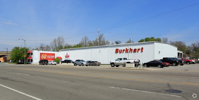
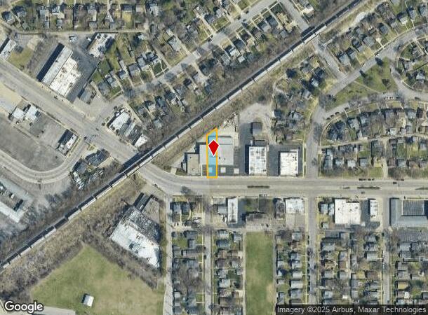
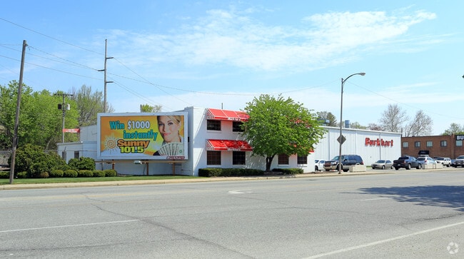
Property Record
1247 Mishawaka Ave, South Bend, IN 46615
NEARBY LISTINGS FOR SALE OR LEASE
Property Detail
1247 Mishawaka Ave
South Bend-Mishawaka, IN-MI
Sunnymede 3Rd
71-09-07-379-002.000-026
LOT 715 & VAC ALLEY N & ADJ & EX SO 10 FOR WIDENING OF STREET SUNNYMEDE 3RD
Commercialnec
St Joseph
X
Indiana
18141C0211D
715
2024
0.16 AC
2024
Greater South Bend
001600
South Bend/Mishawaka
DEMOGRAPHICS near 1247 Mishawaka Ave
1 Mile
3 Mile
5 Mile
2024 Total Population
12,665
107,412
184,747
2029 Population
12,828
108,294
185,069
Pop Growth 2024-2029
+ 1.29%
+ 0.82%
+ 0.17%
Average Age
35
36
37
2024 Total Households
4,754
41,498
73,855
HH Growth 2024-2029
+ 1.28%
+ 0.89%
+ 0.15%
Median Household Inc
$50,828
$47,739
$50,832
Avg Household Size
2.50
2.30
2.30
2024 Avg HH Vehicles
2.00
1.00
2.00
Median Home Value
$115,507
$114,438
$132,643
Median Year Built
1948
1956
1961
Nearby Places
Map Layers
Map Styles
 Street
 Aerial
- Restaurants
- Banks
- Shops
- Fitness
- Groceries
PUBLIC TRANSPORTATION
COMMUTER RAIL
South Bend Amtrak Station (Capitol Limited - Amtrak, Lake Shore Limited - Amtrak)
DRIVE
WALK
Distance
South Bend Amtrak Station (Capitol Limited - Amtrak, Lake Shore Limited - Amtrak)
7 min
3.8 mi
South Bend Airport Station (South Shore Line - Northern Indiana Commuter Transportation District (South Shore Line))
DRIVE
WALK
Distance
South Bend Airport Station (South Shore Line - Northern Indiana Commuter Transportation District (South Shore Line))
11 min
5.6 mi
AIRPORT
South Bend International
DRIVE
WALK
Distance
South Bend International
20 min
7.8 mi
Freight Ports
Port Milwaukee
DRIVE
WALK
Distance
Port Milwaukee
222 min
181.9 mi
Nearby Properties
Address
Land Use
TOTAL SIZE
Lot Size
Zoning
Address
Land Use
TOTAL SIZE
Lot Size
Zoning
3,879,729 SF
436.76 AC
Address
Land Use
TOTAL SIZE
Lot Size
Zoning
685,709 SF
44 SF
Address
Land Use
TOTAL SIZE
Lot Size
Zoning
808,463 SF
30.51 AC
Address
Land Use
TOTAL SIZE
Lot Size
Zoning
24,392 SF
48.07 AC
Address
Land Use
TOTAL SIZE
Lot Size
Zoning
966,201 SF
0.01 AC
Address
Land Use
TOTAL SIZE
Lot Size
Zoning
294,502 SF
87 SF
Address
Land Use
TOTAL SIZE
Lot Size
Zoning
291,729 SF
0.79 AC
Address
Land Use
TOTAL SIZE
Lot Size
Zoning
369,116 SF
19.80 AC
Address
Land Use
TOTAL SIZE
Lot Size
Zoning
168,997 SF
9.62 AC
Address
Land Use
TOTAL SIZE
Lot Size
Zoning
397,501 SF
3.50 AC
Address
Land Use
TOTAL SIZE
Lot Size
Zoning
394,459 SF
44 SF
Address
Land Use
TOTAL SIZE
Lot Size
Zoning
160,546 SF
Address
Land Use
TOTAL SIZE
Lot Size
Zoning
319,715 SF
2.57 AC
Address
Land Use
TOTAL SIZE
Lot Size
Zoning
206,651 SF
1.68 AC
Address
Land Use
TOTAL SIZE
Lot Size
Zoning
770,407 SF
0.01 AC
Address
Land Use
TOTAL SIZE
Lot Size
Zoning
393,123 SF
2.91 AC
Address
Land Use
TOTAL SIZE
Lot Size
Zoning
270,484 SF
131 SF
Address
Land Use
TOTAL SIZE
Lot Size
Zoning
207,846 SF
2.33 AC
Address
Land Use
TOTAL SIZE
Lot Size
Zoning
338,816 SF
33.65 AC
Address
Land Use
TOTAL SIZE
Lot Size
Zoning
283,481 SF
51.29 AC
Address
Land Use
TOTAL SIZE
Lot Size
Zoning
158,616 SF
0.85 AC
Address
Land Use
TOTAL SIZE
Lot Size
Zoning
148,524 SF
1.66 AC
Address
Land Use
TOTAL SIZE
Lot Size
Zoning
327,618 SF
39.65 AC
Address
Land Use
TOTAL SIZE
Lot Size
Zoning
231,450 SF
87 SF
Address
Land Use
TOTAL SIZE
Lot Size
Zoning
187,073 SF
11.52 AC
Address
Land Use
TOTAL SIZE
Lot Size
Zoning
73,254 SF
96.72 AC
Address
Land Use
TOTAL SIZE
Lot Size
Zoning
65,986 SF
174 SF
Address
Land Use
TOTAL SIZE
Lot Size
Zoning
107,258 SF
1.61 AC
Address
Land Use
TOTAL SIZE
Lot Size
Zoning
167,261 SF
1.58 AC
Address
Land Use
TOTAL SIZE
Lot Size
Zoning
194,931 SF
44 SF
The World's #1 Commercial Real Estate Marketplace
Connect with us
© 2025 CoStar Group
The information above has been obtained from sources believed reliable. While we do not doubt its accuracy we have not verified it and make no guarantee, warranty or representation about it. It is your responsibility to independently confirm its accuracy and completeness. Any projections, opinions, assumptions, or estimates used are for example only and do not represent the current or future performance of the property. The value of this transaction to you depends on tax and other factors which should be evaluated by your tax, financial, and legal advisors. You and your advisors should conduct a careful, independent investigation of the property to determine to your satisfaction the suitability of the property for your needs.