Property Record
1255 W 15Th St, Merced, CA 95340


Save to a Folder
{{folder.Name}}
{{folder.ListingIds.length}} Properties
{{folder.ListingIds.length}} Property
Create a New Folder
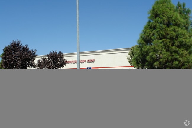
Property Detail
1255 W 15Th St
Merced, CA
MERCED POR LOT 1 BLK 507 & POR PM 30-36-A & B ETC
031-190-008
MERCED
Commercialnec
California
CG
1
AO River or stream flood hazard areas, and areas with a 1% or greater chance of shallow flooding each year. These areas have a 26% chance of flooding over the life of a 30-year mortgage.
12.35 AC
2024
Downtown Merced
2025
Fresno
001200
NEARBY LISTINGS FOR SALE OR LEASE
DEMOGRAPHICS near 1255 W 15Th St
1 mile
3 mile
5 mile
2025 Total Population
17,642
90,564
120,261
2030 Population
18,244
93,990
125,301
Pop Growth 2025-2030
+ 3.41%
+ 3.78%
+ 4.19%
Average Age
35
35
35
2025 Total Households
5,491
28,419
36,624
HH Growth 2025-2030
+ 3.68%
+ 3.85%
+ 4.17%
Median Household Inc
$38,423
$52,577
$56,878
Avg Household Size
3.10
3.10
3.10
2025 Avg HH Vehicles
2.00
2.00
2.00
Median Home Value
$297,614
$358,159
$380,061
Median Year Built
1977
1980
1985
Nearby Places
Map Layers
Map Styles
 Street
 Aerial
Layers
 Traffic
 Biking
Places
Listings with unknown addresses are not visible on the map
- Restaurants
- Banks
- Shops
- Fitness
- Groceries
Nearby Properties
Address
Land Use
TOTAL SIZE
Lot Size
Zoning
Address
Land Use
TOTAL SIZE
Lot Size
Zoning
4.01 AC
Address
Land Use
TOTAL SIZE
Lot Size
Zoning
7.80 AC
IL
Address
Land Use
TOTAL SIZE
Lot Size
Zoning
10.18 AC
R16
Address
Land Use
TOTAL SIZE
Lot Size
Zoning
4.87 AC
PD
Address
Land Use
TOTAL SIZE
Lot Size
Zoning
2.90 AC
CO
Address
Land Use
TOTAL SIZE
Lot Size
Zoning
27.48 AC
PD
Address
Land Use
TOTAL SIZE
Lot Size
Zoning
3.50 AC
R4
Address
Land Use
TOTAL SIZE
Lot Size
Zoning
8.44 AC
PD
Address
Land Use
TOTAL SIZE
Lot Size
Zoning
42.55 AC
Address
Land Use
TOTAL SIZE
Lot Size
Zoning
10.10 AC
PD
Address
Land Use
TOTAL SIZE
Lot Size
Zoning
18.40 AC
IL
Address
Land Use
TOTAL SIZE
Lot Size
Zoning
11.57 AC
IL
Address
Land Use
TOTAL SIZE
Lot Size
Zoning
28.36 AC
Address
Land Use
TOTAL SIZE
Lot Size
Zoning
15,189 SF
1.70 AC
CO
Address
Land Use
TOTAL SIZE
Lot Size
Zoning
3.90 AC
PD
Address
Land Use
TOTAL SIZE
Lot Size
Zoning
4.50 AC
R4
Address
Land Use
TOTAL SIZE
Lot Size
Zoning
2 AC
PD
Address
Land Use
TOTAL SIZE
Lot Size
Zoning
10.30 AC
CT
Address
Land Use
TOTAL SIZE
Lot Size
Zoning
11.80 AC
PD
Address
Land Use
TOTAL SIZE
Lot Size
Zoning
5.91 AC
PD
Address
Land Use
TOTAL SIZE
Lot Size
Zoning
0.48 AC
CC
Address
Land Use
TOTAL SIZE
Lot Size
Zoning
124,880 SF
10 AC
PD
Address
Land Use
TOTAL SIZE
Lot Size
Zoning
1.80 AC
Address
Land Use
TOTAL SIZE
Lot Size
Zoning
9,000 SF
9.30 AC
IH
Address
Land Use
TOTAL SIZE
Lot Size
Zoning
21.74 AC
IL
Address
Land Use
TOTAL SIZE
Lot Size
Zoning
1.90 AC
CT
Address
Land Use
TOTAL SIZE
Lot Size
Zoning
6,296 SF
3.30 AC
Address
Land Use
TOTAL SIZE
Lot Size
Zoning
26,594 SF
0.36 AC
PD
Address
Land Use
TOTAL SIZE
Lot Size
Zoning
0.34 AC
CC
The World's #1 Commercial Real Estate Marketplace
Connect with us
© 2026 CoStar Group
The information above has been obtained from sources believed reliable. While we do not doubt its accuracy we have not verified it and make no guarantee, warranty or representation about it. It is your responsibility to independently confirm its accuracy and completeness. Any projections, opinions, assumptions, or estimates used are for example only and do not represent the current or future performance of the property. The value of this transaction to you depends on tax and other factors which should be evaluated by your tax, financial, and legal advisors. You and your advisors should conduct a careful, independent investigation of the property to determine to your satisfaction the suitability of the property for your needs.