Property Record
1365 Meyer Rd, Fort Wayne, IN 46803
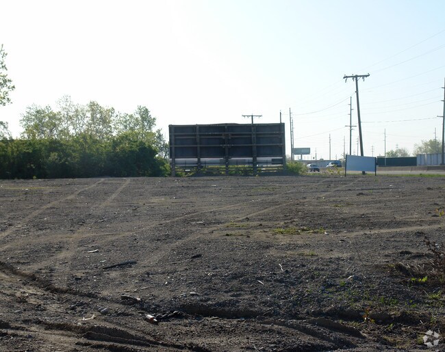

Property Detail
1365 Meyer Rd
Fort Wayne, IN
W 267.1 OF S 220 N OF US 30 CL W1/2 NW1/4 SEC 9
02-13-09-102-001.000-041
ALLEN
Industrialacreage
Indiana
B and X Area of moderate flood hazard, usually the area between the limits of the 100-year and 500-year floods.
13.50 AC
2025
New Haven
2025
Fort Wayne
011201
NEARBY LISTINGS FOR SALE OR LEASE
DEMOGRAPHICS near 1365 Meyer Rd
1 mile
3 mile
5 mile
2025 Total Population
1,816
68,305
190,014
2030 Population
1,883
70,301
195,878
Pop Growth 2025-2030
+ 3.69%
+ 2.92%
+ 3.09%
Average Age
37
37
37
2025 Total Households
725
26,760
75,926
HH Growth 2025-2030
+ 3.86%
+ 3.00%
+ 3.20%
Median Household Inc
$49,115
$49,719
$51,898
Avg Household Size
2.30
2.40
2.40
2025 Avg HH Vehicles
2.00
2.00
2.00
Median Home Value
$132,716
$165,171
$167,156
Median Year Built
1962
1964
1964
Nearby Places
Map Layers
Map Styles
 Street
 Aerial
Layers
 Traffic
 Biking
Places
Listings with unknown addresses are not visible on the map
- Restaurants
- Banks
- Shops
- Fitness
- Groceries
PUBLIC TRANSPORTATION
AIRPORT
Fort Wayne International
Drive
Walk
Distance
Fort Wayne International
25 min
13.4 mi
SALE & LEASE HISTORY
LISTING DATE
SALE/LEASE

Sep 26, 2016
For Lease
Nearby Properties
Address
Land Use
TOTAL SIZE
Lot Size
Zoning
Address
Land Use
TOTAL SIZE
Lot Size
Zoning
921,633 SF
18.04 AC
Address
Land Use
TOTAL SIZE
Lot Size
Zoning
526,184 SF
35.62 AC
Address
Land Use
TOTAL SIZE
Lot Size
Zoning
129,080 SF
15.77 AC
Address
Land Use
TOTAL SIZE
Lot Size
Zoning
74,048 SF
1.12 AC
Address
Land Use
TOTAL SIZE
Lot Size
Zoning
23,326 SF
152.70 AC
Address
Land Use
TOTAL SIZE
Lot Size
Zoning
173,019 SF
2.28 AC
Address
Land Use
TOTAL SIZE
Lot Size
Zoning
125,249 SF
362.70 AC
Address
Land Use
TOTAL SIZE
Lot Size
Zoning
215,768 SF
235.57 AC
Address
Land Use
TOTAL SIZE
Lot Size
Zoning
62,666 SF
20.58 AC
Address
Land Use
TOTAL SIZE
Lot Size
Zoning
137,278 SF
21.46 AC
Address
Land Use
TOTAL SIZE
Lot Size
Zoning
180,813 SF
246 AC
Address
Land Use
TOTAL SIZE
Lot Size
Zoning
316,421 SF
25.01 AC
Address
Land Use
TOTAL SIZE
Lot Size
Zoning
250,021 SF
2.25 AC
Address
Land Use
TOTAL SIZE
Lot Size
Zoning
50,072 SF
8.27 AC
Address
Land Use
TOTAL SIZE
Lot Size
Zoning
860,503 SF
395.56 AC
Address
Land Use
TOTAL SIZE
Lot Size
Zoning
154,746 SF
87.54 AC
Address
Land Use
TOTAL SIZE
Lot Size
Zoning
160,355 SF
71.69 AC
Address
Land Use
TOTAL SIZE
Lot Size
Zoning
237,829 SF
498.63 AC
Address
Land Use
TOTAL SIZE
Lot Size
Zoning
142,983 SF
10.55 AC
Address
Land Use
TOTAL SIZE
Lot Size
Zoning
70,312 SF
25.38 AC
Address
Land Use
TOTAL SIZE
Lot Size
Zoning
48,118 SF
1.56 AC
Address
Land Use
TOTAL SIZE
Lot Size
Zoning
41,424 SF
1.03 AC
Address
Land Use
TOTAL SIZE
Lot Size
Zoning
88,894 SF
165.50 AC
Address
Land Use
TOTAL SIZE
Lot Size
Zoning
149,627 SF
65.32 AC
Address
Land Use
TOTAL SIZE
Lot Size
Zoning
132,289 SF
1.27 AC
Address
Land Use
TOTAL SIZE
Lot Size
Zoning
57,932 SF
117.10 AC
Address
Land Use
TOTAL SIZE
Lot Size
Zoning
144,412 SF
9.65 AC
Address
Land Use
TOTAL SIZE
Lot Size
Zoning
27,060 SF
220.99 AC
Address
Land Use
TOTAL SIZE
Lot Size
Zoning
132,448 SF
22.22 AC
Address
Land Use
TOTAL SIZE
Lot Size
Zoning
186,975 SF
14.79 AC
The World's #1 Commercial Real Estate Marketplace
Connect with us
© 2026 CoStar Group
The information above has been obtained from sources believed reliable. While we do not doubt its accuracy we have not verified it and make no guarantee, warranty or representation about it. It is your responsibility to independently confirm its accuracy and completeness. Any projections, opinions, assumptions, or estimates used are for example only and do not represent the current or future performance of the property. The value of this transaction to you depends on tax and other factors which should be evaluated by your tax, financial, and legal advisors. You and your advisors should conduct a careful, independent investigation of the property to determine to your satisfaction the suitability of the property for your needs.